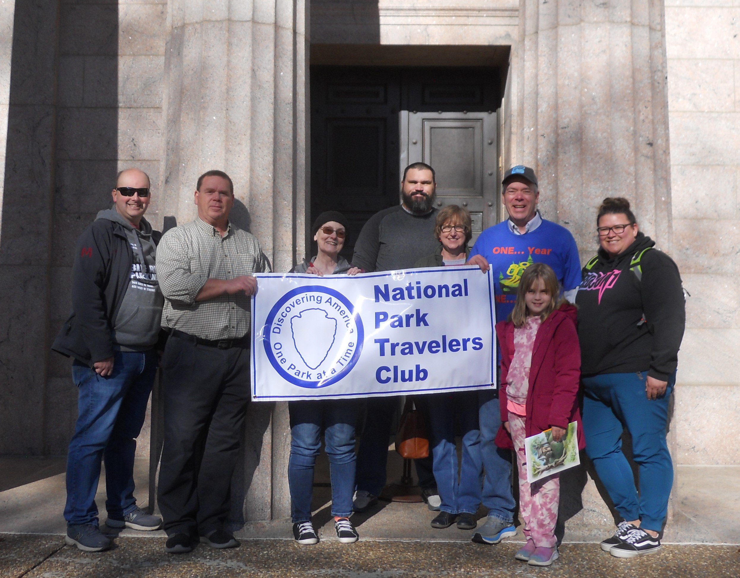
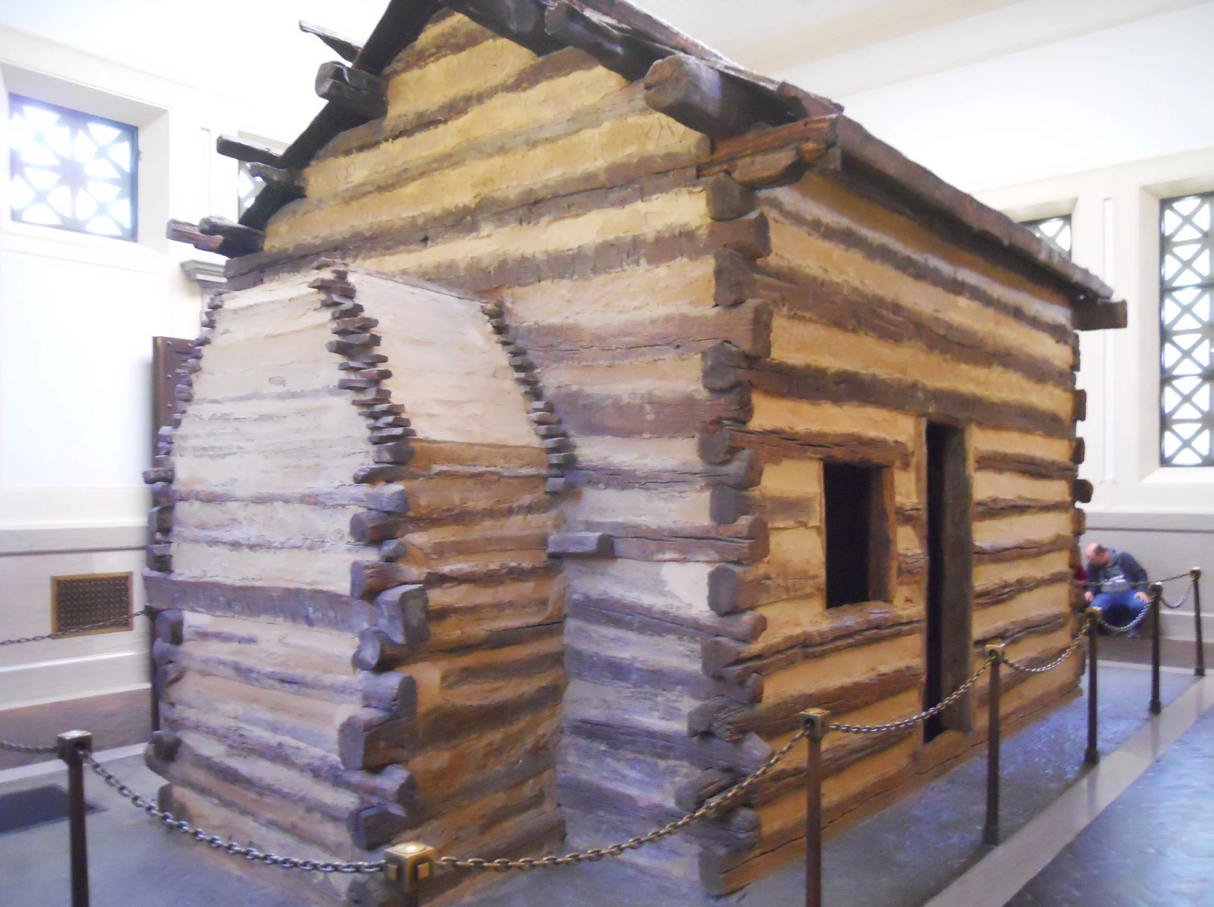
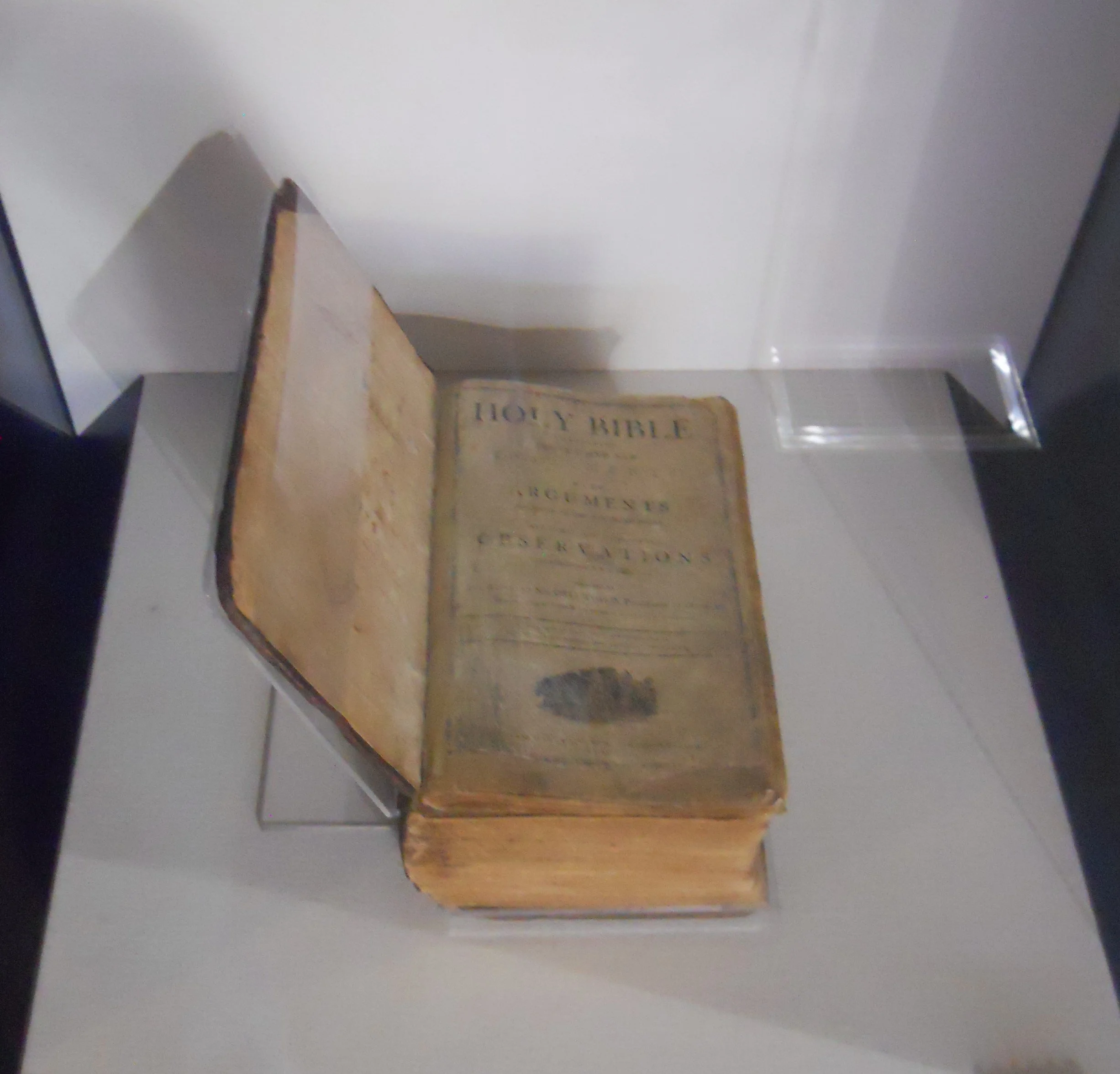
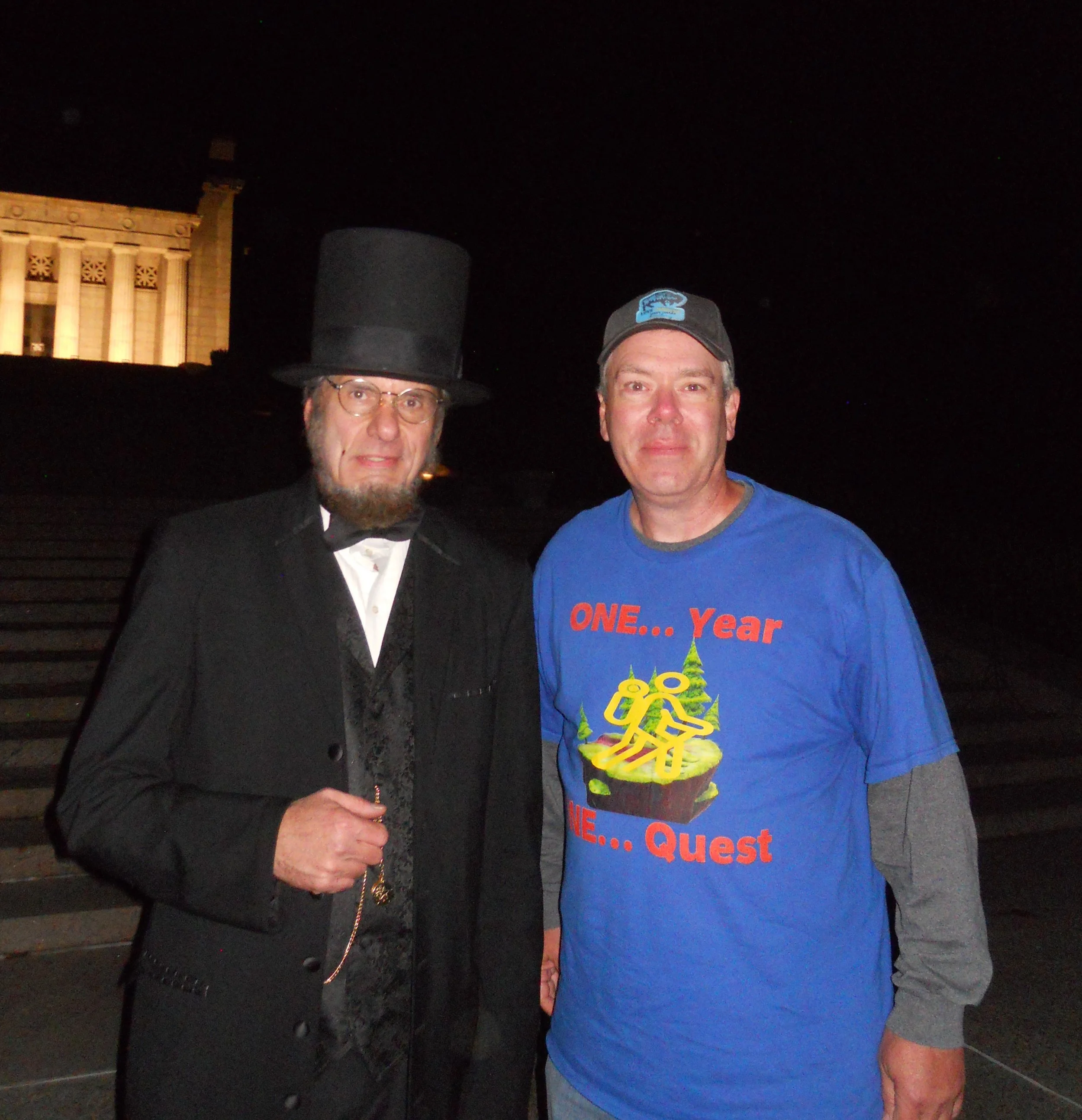
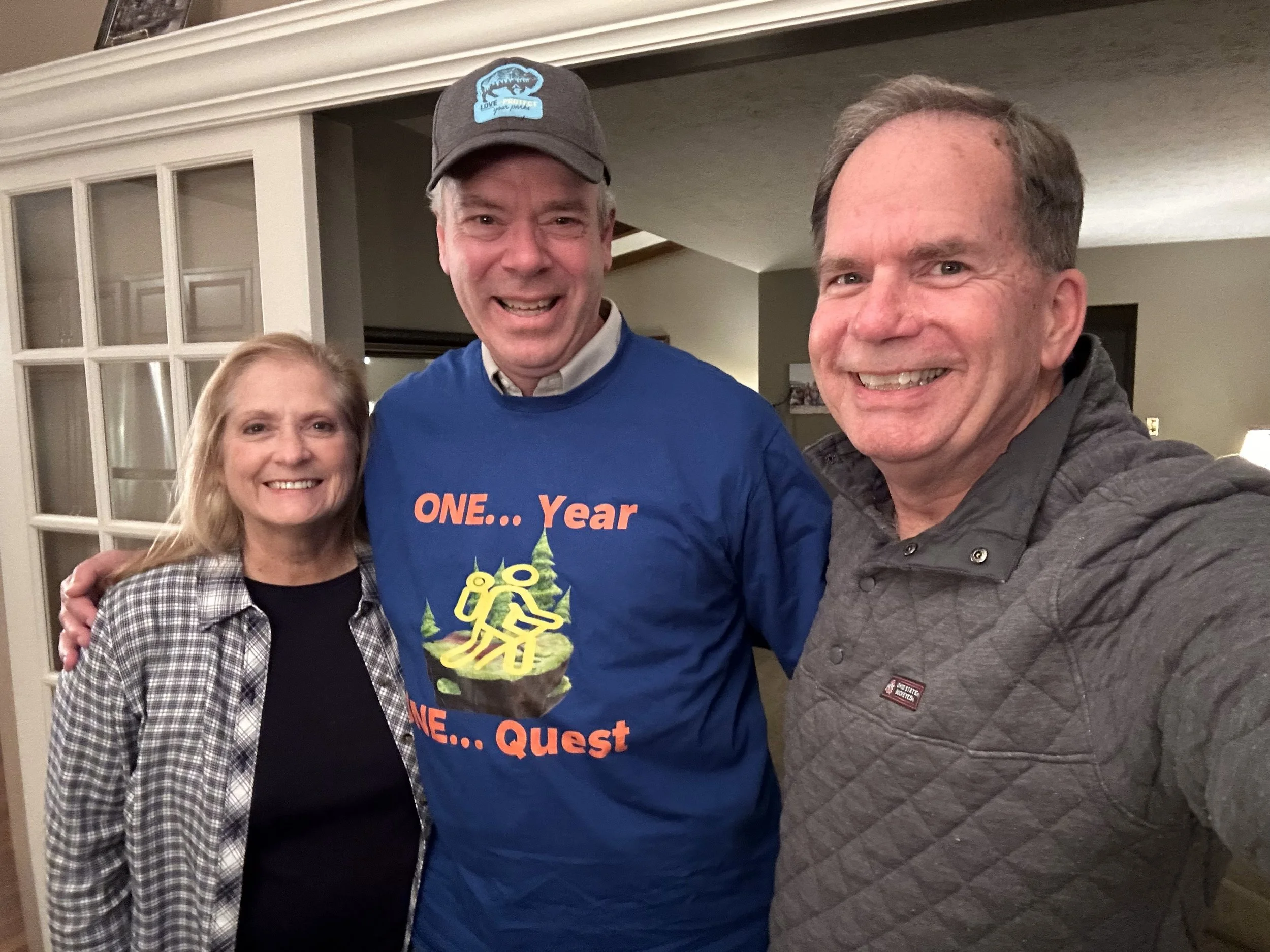
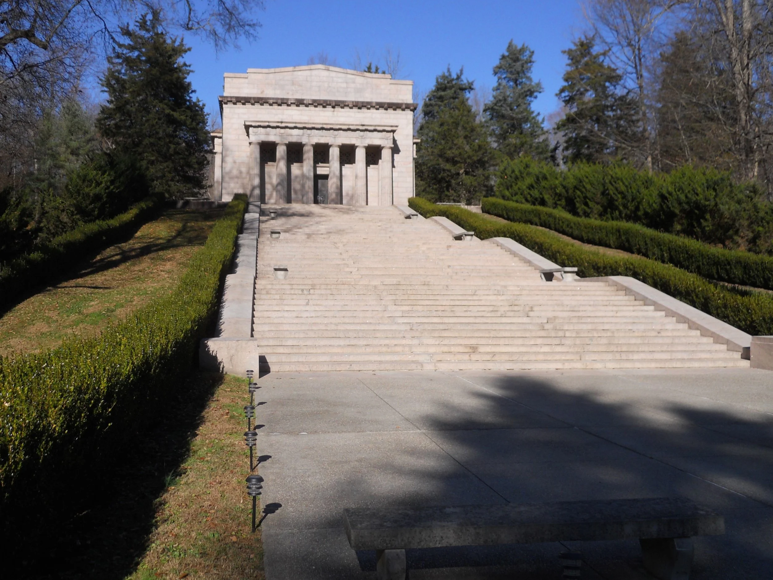
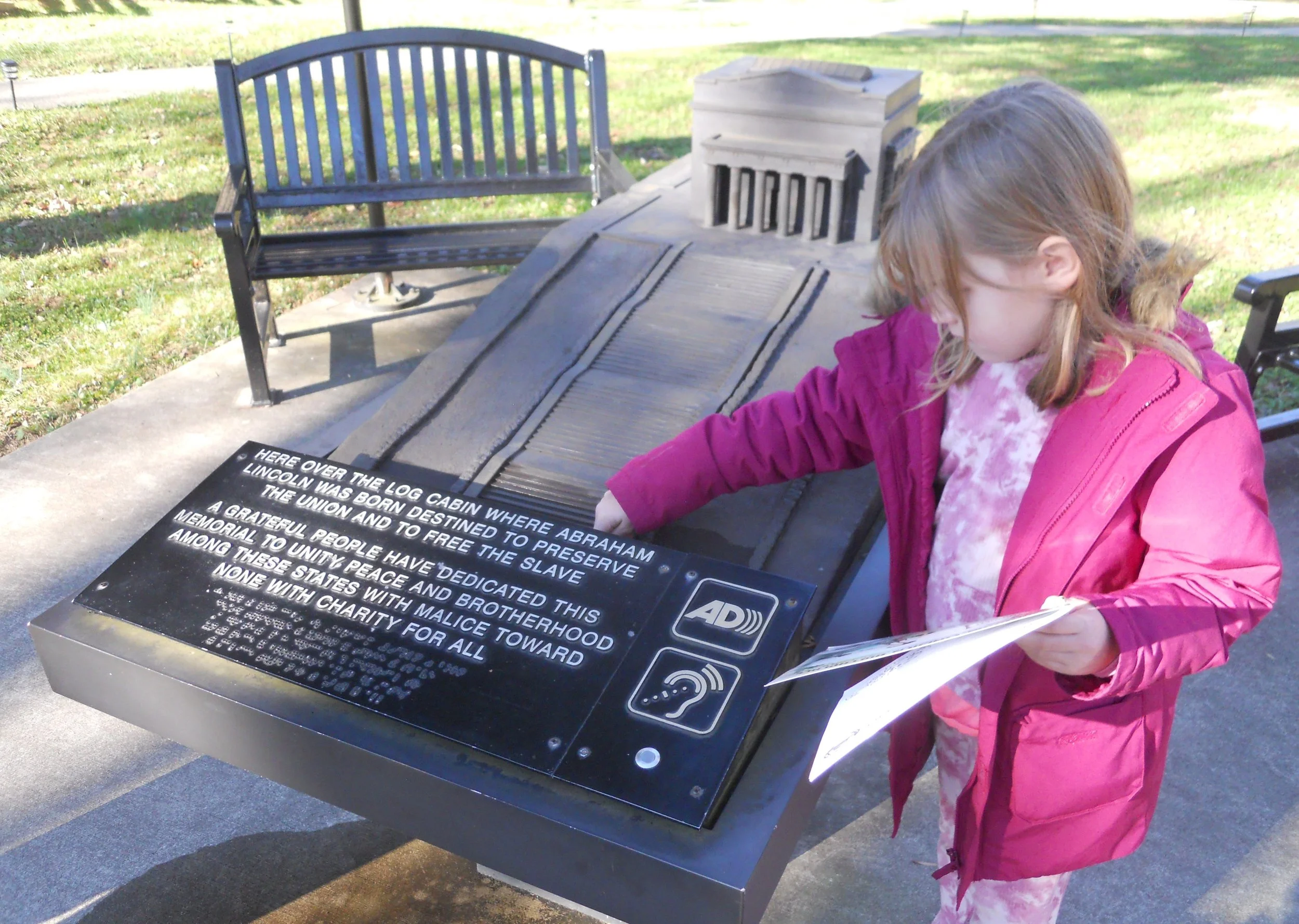
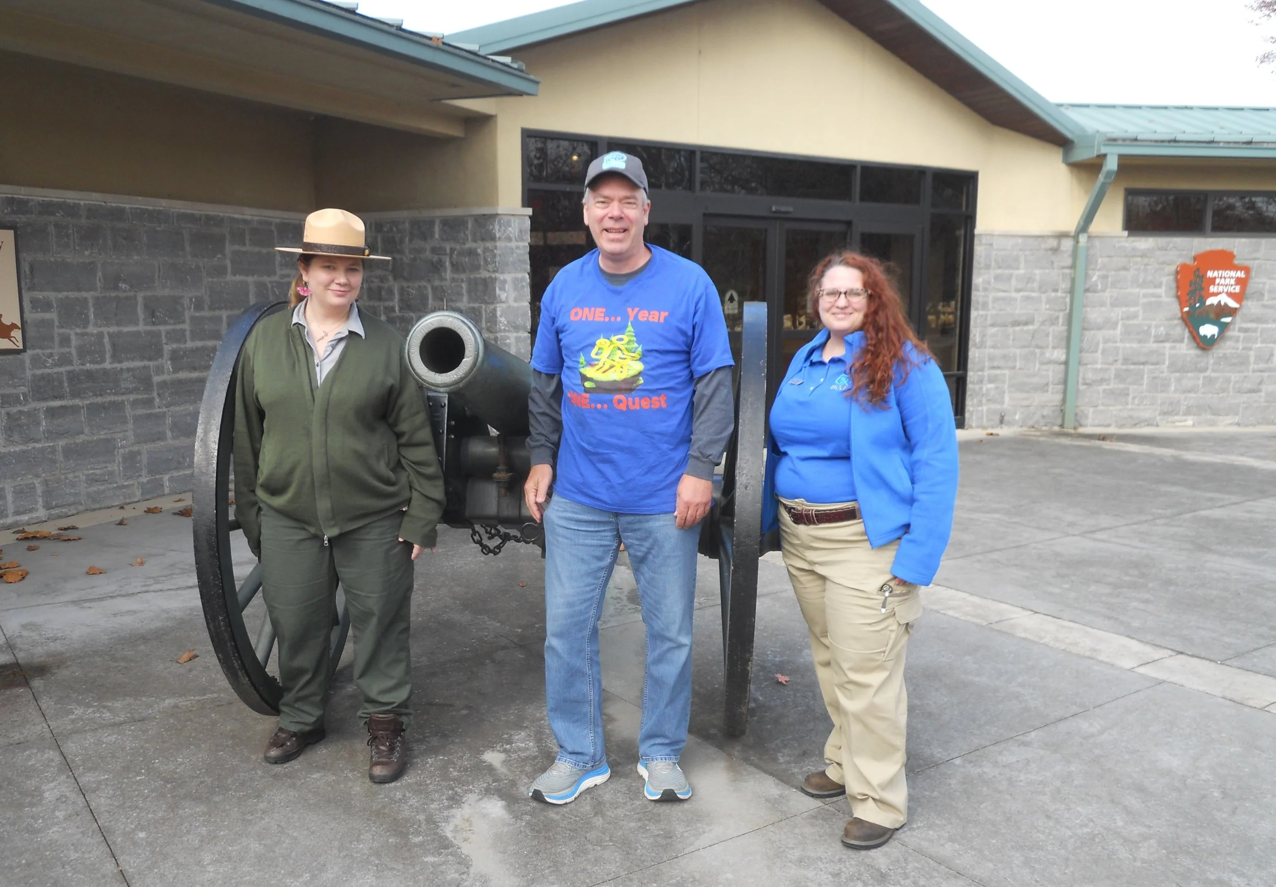
DAY 13 (November 19) - This day has finally arrived. The main objective today was to hold a NPTC Meet-Up. The photo is in front of the Memorial Building, whose cornerstone was laid in 1909, by Theodore Roosevelt. Ranger Christian told us Roosevelt had observed Lincoln’s funeral procession in NYC from a few stories above ground level in a building (he had a photo showing Teddy and a friend looking out a window). Inside the Memorial Building is an original log cabin from the area, though not Thomas Lincoln’s cabin. There are 56 steps up to the Memorial, confirmed by Madison who counted each one of the model. The VC has a few artifacts of the Lincoln’s such as the family’s 1799 bible.
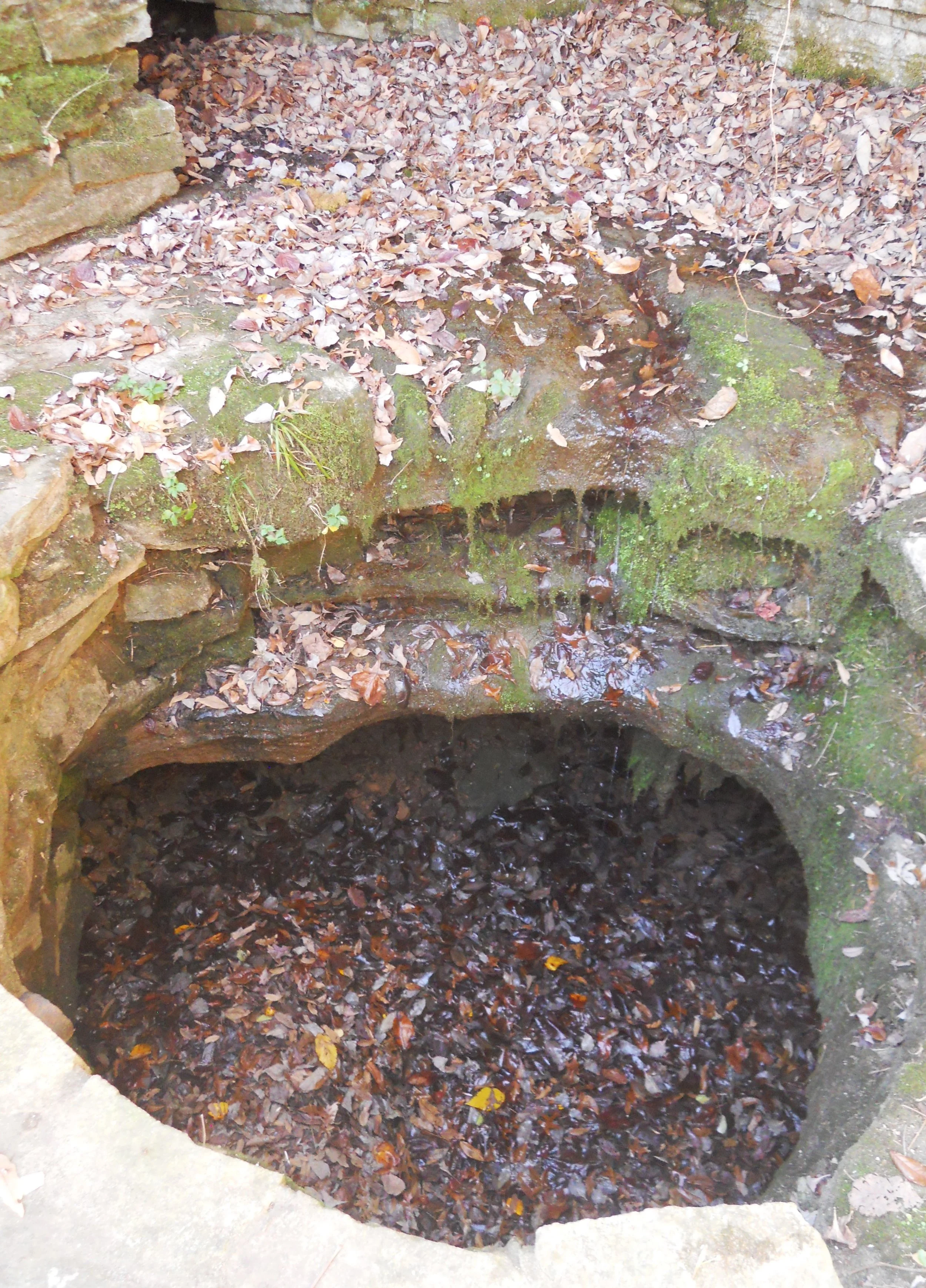
Though the famous Boundary Oak is no longer living (a section of the tree is in the VC), the second to last original object on the farm which was present when Abe was born, the freshwater spring from which Abe probably had his first sip of water, is still working. It is next to the Memorial steps.
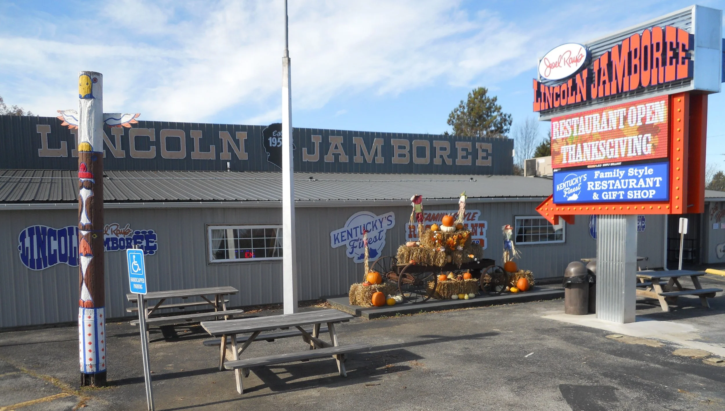
The crowd headed over to the Lincoln Jamboree for a celebratory lunch. It is just 0.5 miles down the road from the park. This is quite a local landmark in its own right.
The night before, a number of people came to the park for a ceremony honoring the 160th anniversary of the Gettysburg Address (which was November 19, 1863). The Old Kentucky Guard Band played some songs which would have been heard during the Civil War. I asked the musicians if the instruments were representative of the War, and they enthusiastically replied that all were from the Civil War. One horn was made in 1850. That was awesome, seeing and hearing Civil War artifacts being used in the 21st century. The guest of honor was Abe himself, played by Whit. He was magnificent.
The celebration was not yet done. I stopped at the home of my cousin, Kurt, and his wife, Cindi. Then, when I reached home, Elizabeth, Anne, and Kyle had a cake ready for me. Elizabeth’s desserts are wonderful. When I used to work at Goodyear and bring in cookies or other desserts, the guys in the Racing Division asked that if I died could one of them be allowed to marry her.
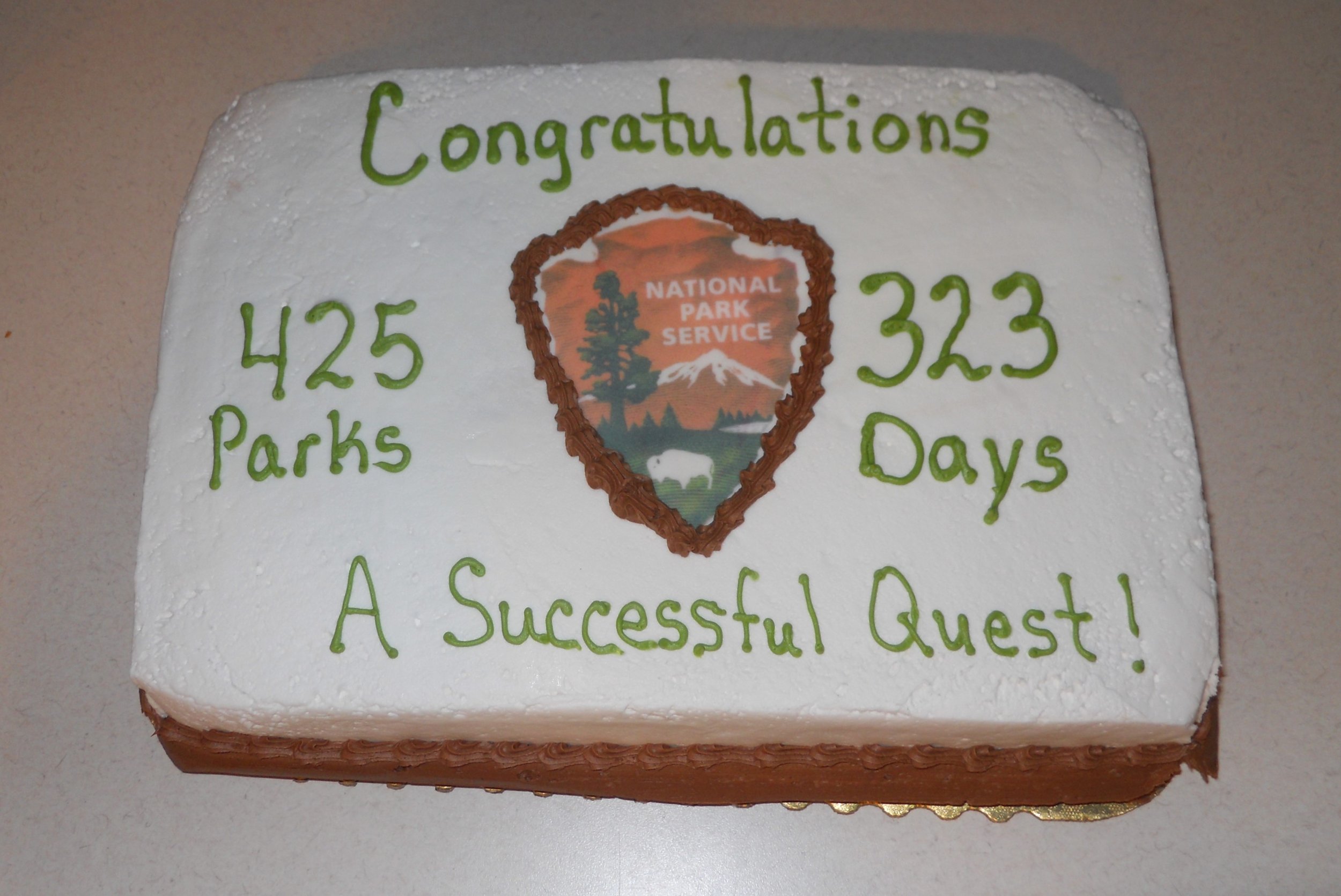
What a year!!!! Thanks to everyone who has read the Daily Trip Reports. I hope you learned something new about one or more of the parks. I know I did as I was visiting each one. And maybe the photos and comments have energized you to make plans for your own future visits to any of the 425 National Parks.
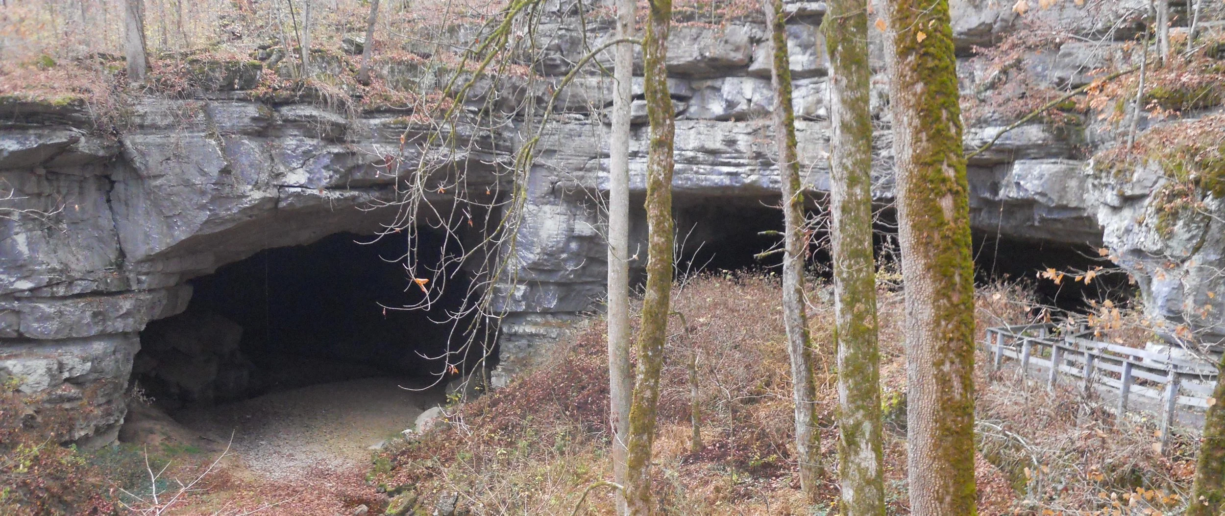
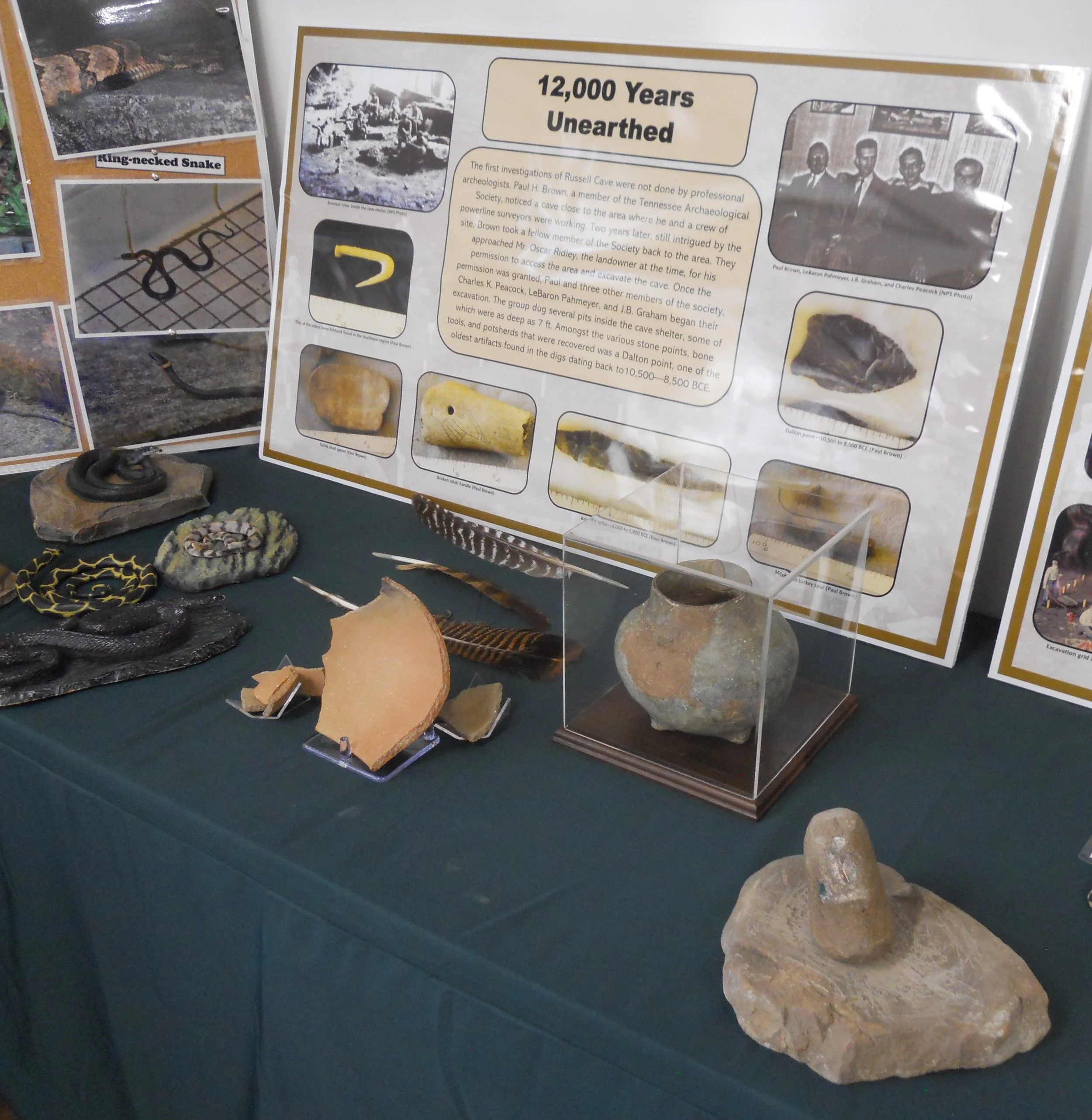
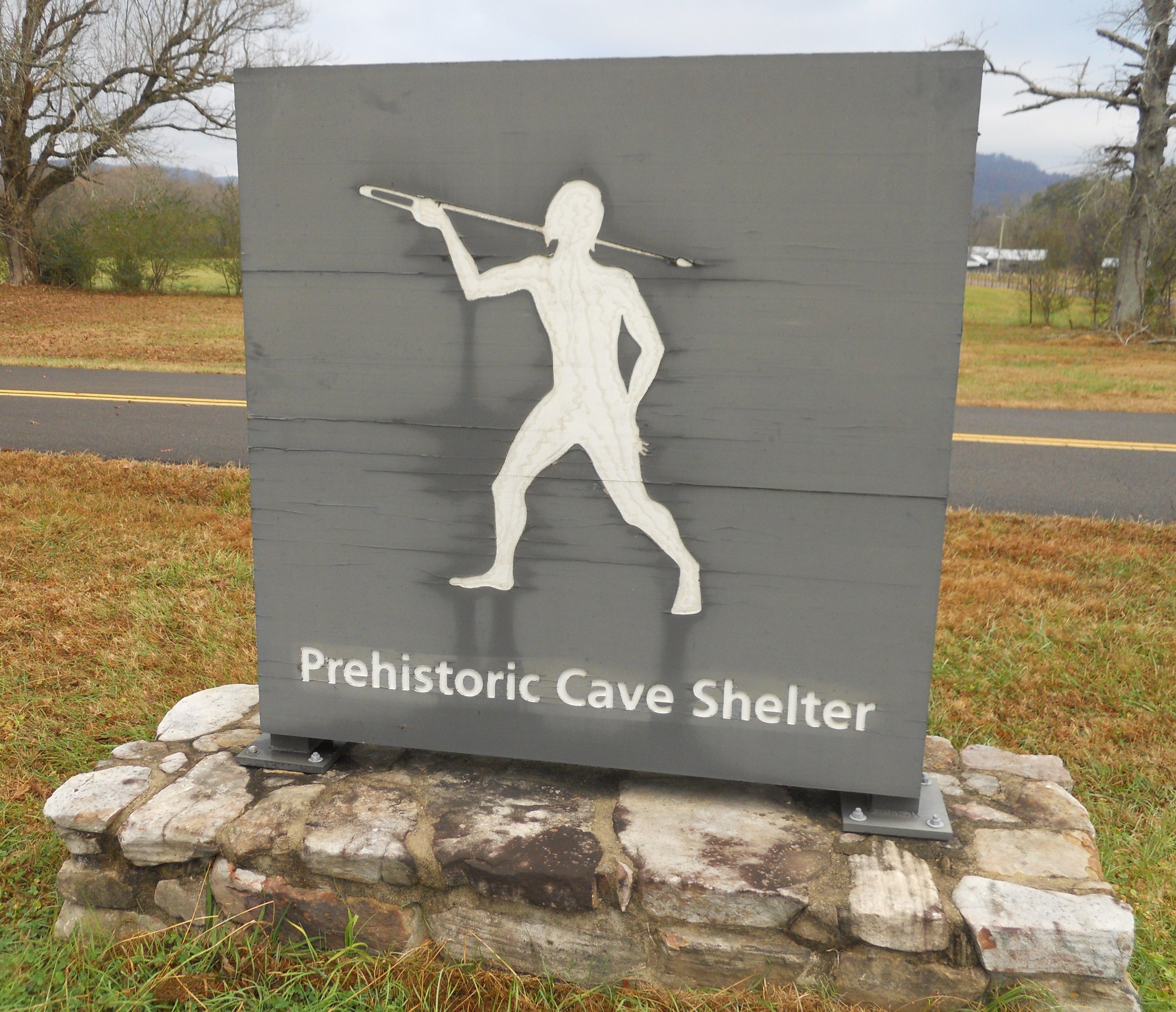
DAY 12 (November 18) - Russell Cave NMon is a site of pre-historic residency, reaching back 12,000 years. Experts say man lived in this single place for thousands of years. None of that nomadic lifestyle for this culture.
Yes, there is a cave, at the end of a 250-yard path. Understandably, visitors are not permitted to walk into the cave. The VC has some of the artifacts discovered at the site.
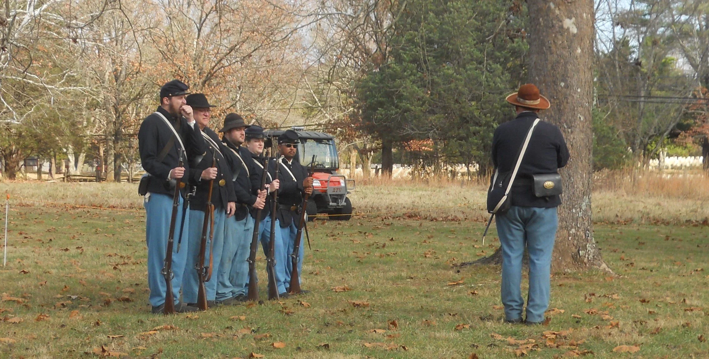
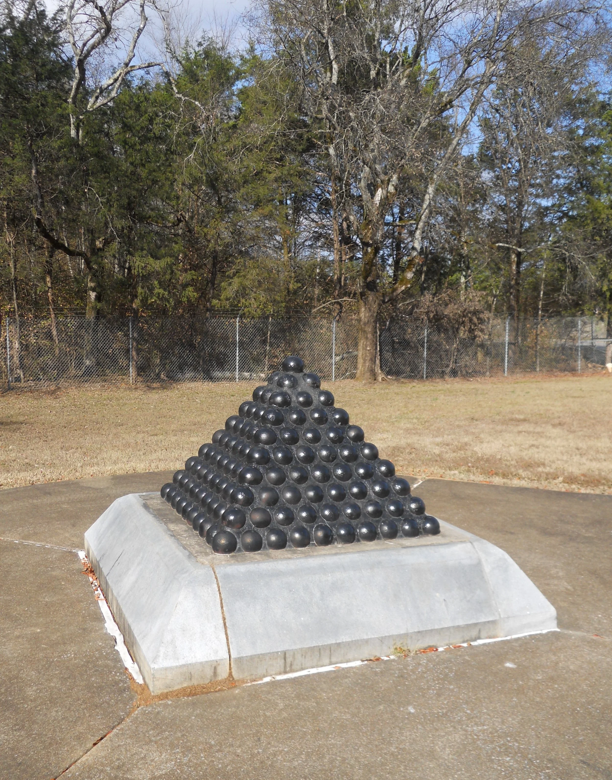
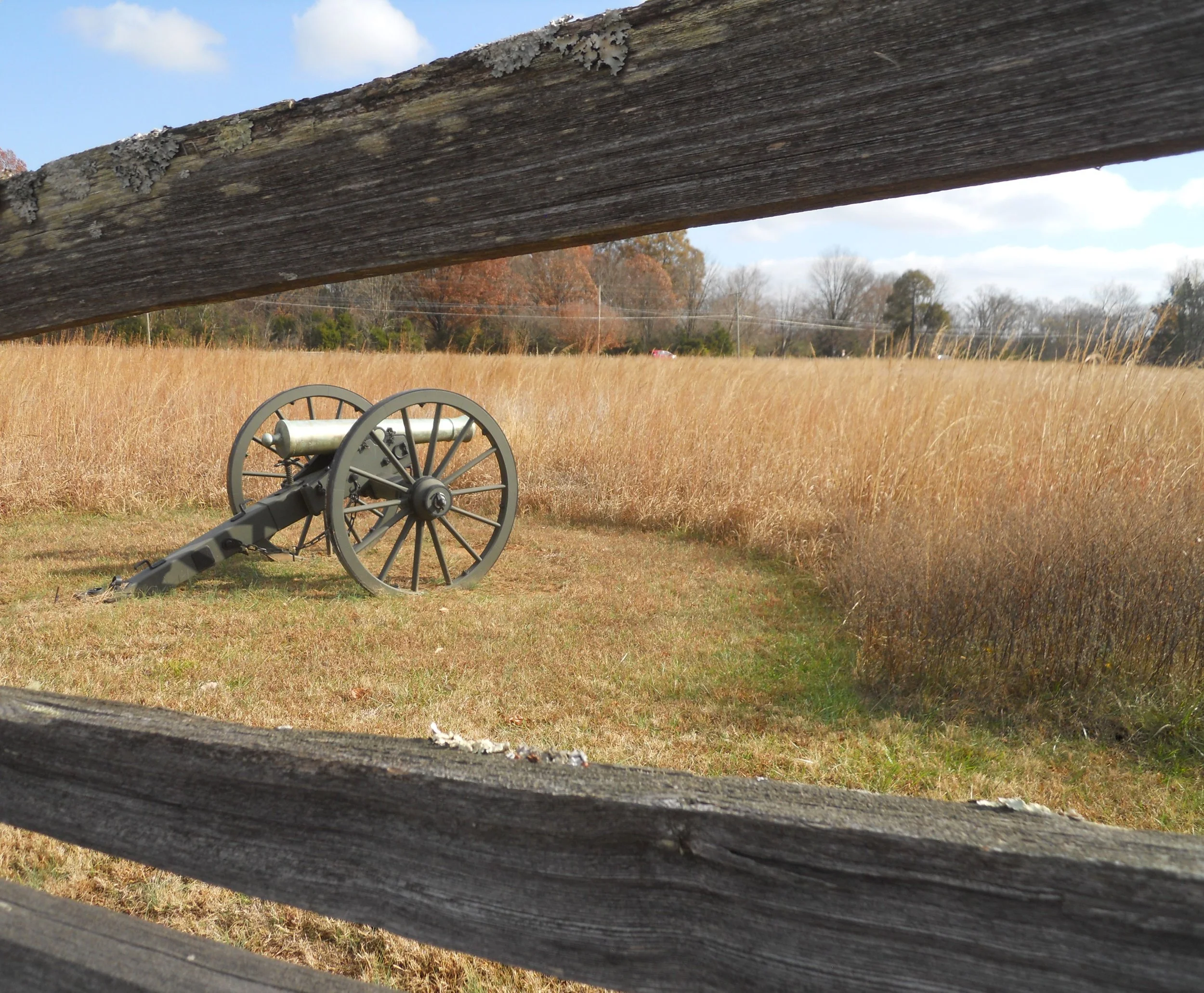
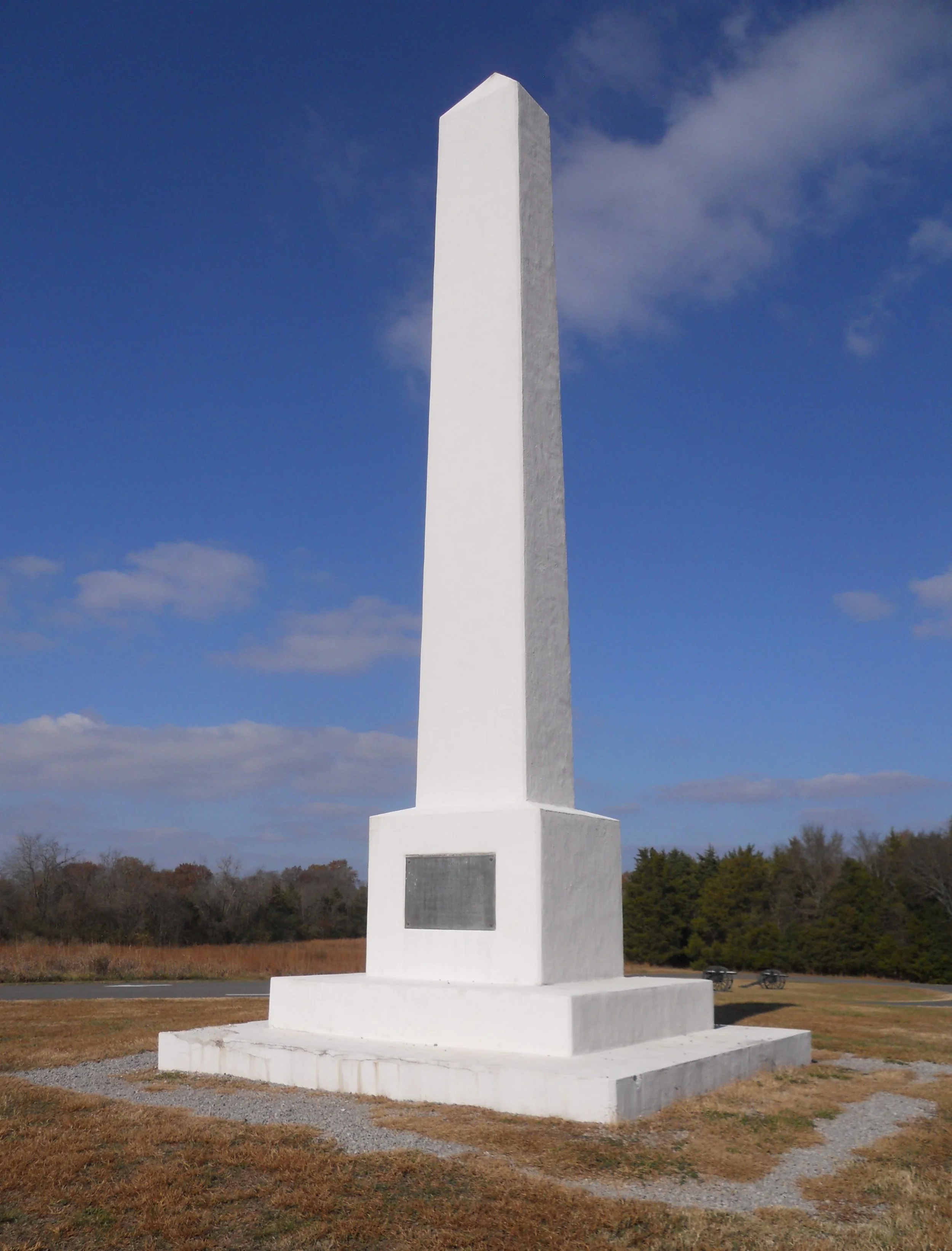
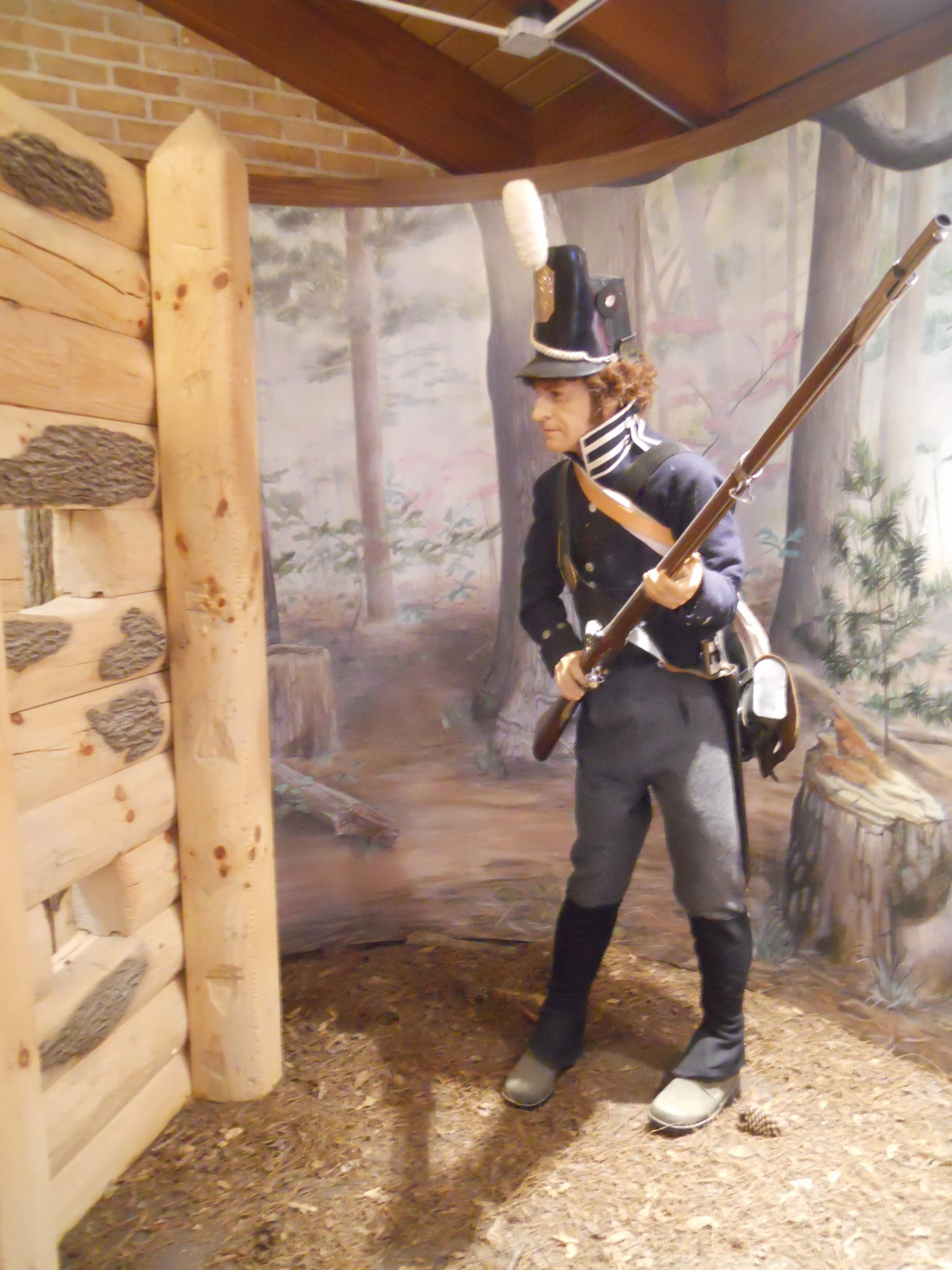
Northwestward on I-24 is Stones River NB. For three days, Union forces fought Confederates, in January-1863. Over 23,000 casualties were recorded. Today there was no such horror, rather volunteers training on firing their muskets. I did not ask, but assume they are Enfield 1853 muskets, about the most common firearm used in the Civil War, by both sides. Great to see people keeping history alive. The park has a 6-stop auto-tour route, taking one by wooden fences and period cannons, and the important marks of the battle. A cannon-ball pyramid marks the spot of Gen. William Rosecrans HQ. The Artillery Monument sits on the McFadden Farm, representing the 58 cannon which held this hill for the Union.
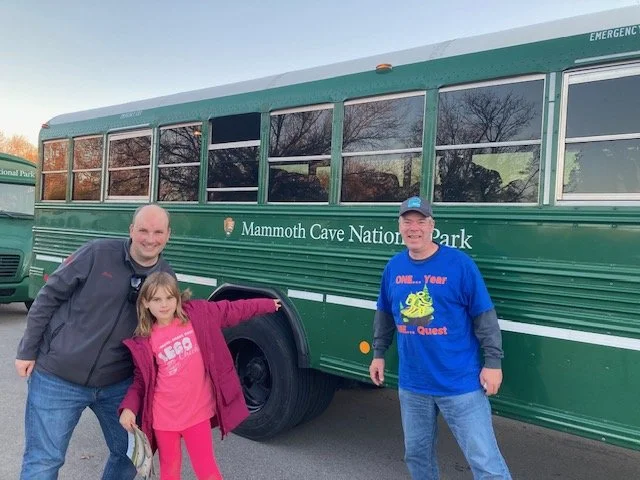
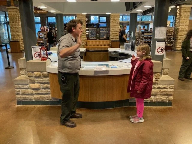
Mammoth Cave NP is near Bowling Green, KY. This time I entered the park from the south, on Park Boundary Road, an entrance I have never used. Mammoth is the longest cave system in the world. Many tours are available. I had a reservation for the Domes and Dripstones Tour. Green buses pick up visitors for a drive to the cave entrance. Underground is an eerie world. We saw cave crickets, sandstone roofs (photo with two unexpected stagtites because sandstone does not allow water to seep), large rooms, and deep pits with water (photo with green color at bottom of long hole). The path is 0.75 miles long, ending in the Frozen Niagra section. This is the only spot of this specific cave area with familiar formations, like curtains, stagtites, straws, and stagmites. There is no sandstone roof in this area, so water has done its magic. The view seems frozen in time. It just so happened that Mike and his daughter Madison were on the tour. Mike is a NPTC member and joined me back in June flying to many of the wilderness parks in Alaska. Back at the VC, Madison took the Jr. Ranger Oath for the park.


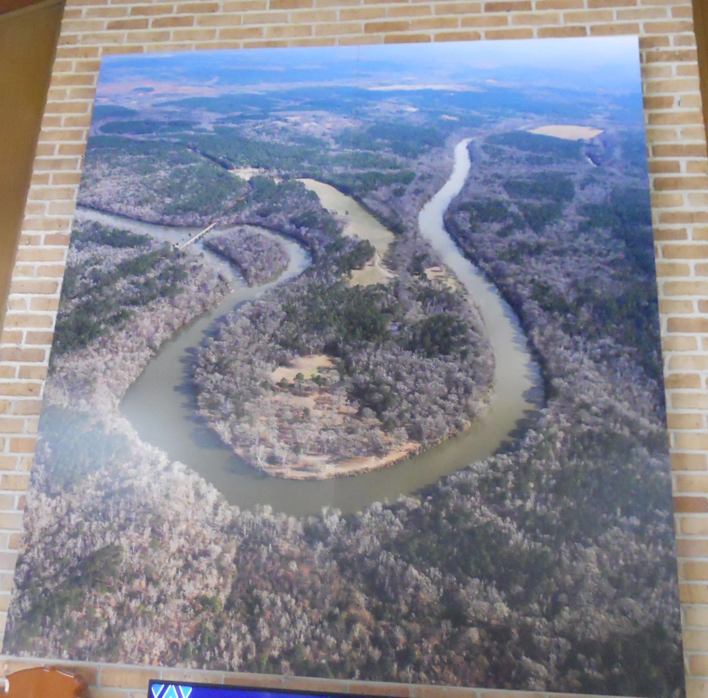
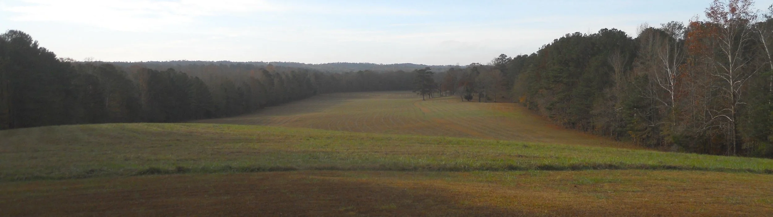
DAY 11 (November 17) - Horseshoe Bend NMP preserves the site of the 1814 battle between Tennessee Maj Gen Andrew Jackson and Red Stick Creek warriors. 3,300 soldiers and Cherokee wiped out the 1,000 Creek under Chief Menawa, killing over 800. The Tallapoosa River has a unique “bend” in its course (photo hangs in the VC), which looks like a horseshoe. The Creek were trapped in the curve.
The battle ended the Creek War with the U.S. Government, the Creek Nation ceding 23 million acres of land.
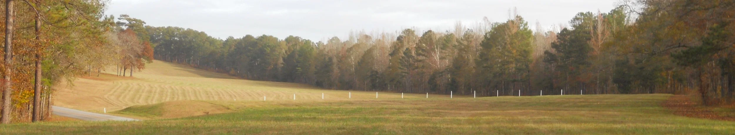
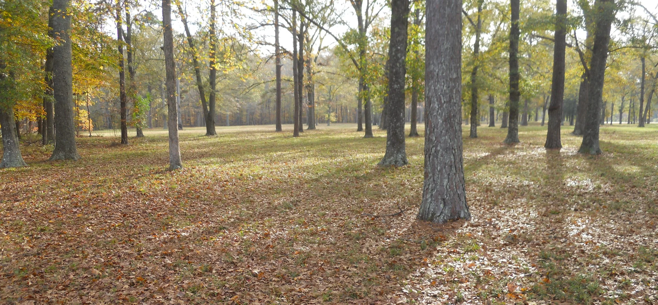
The auto-tour starts on the high ground, looking down on the barricade line (marked by the white posts) which the Creek had erected. Women and children sheltered in Tohopeka, the Creek camp by the river (photo of land now with a few trees).
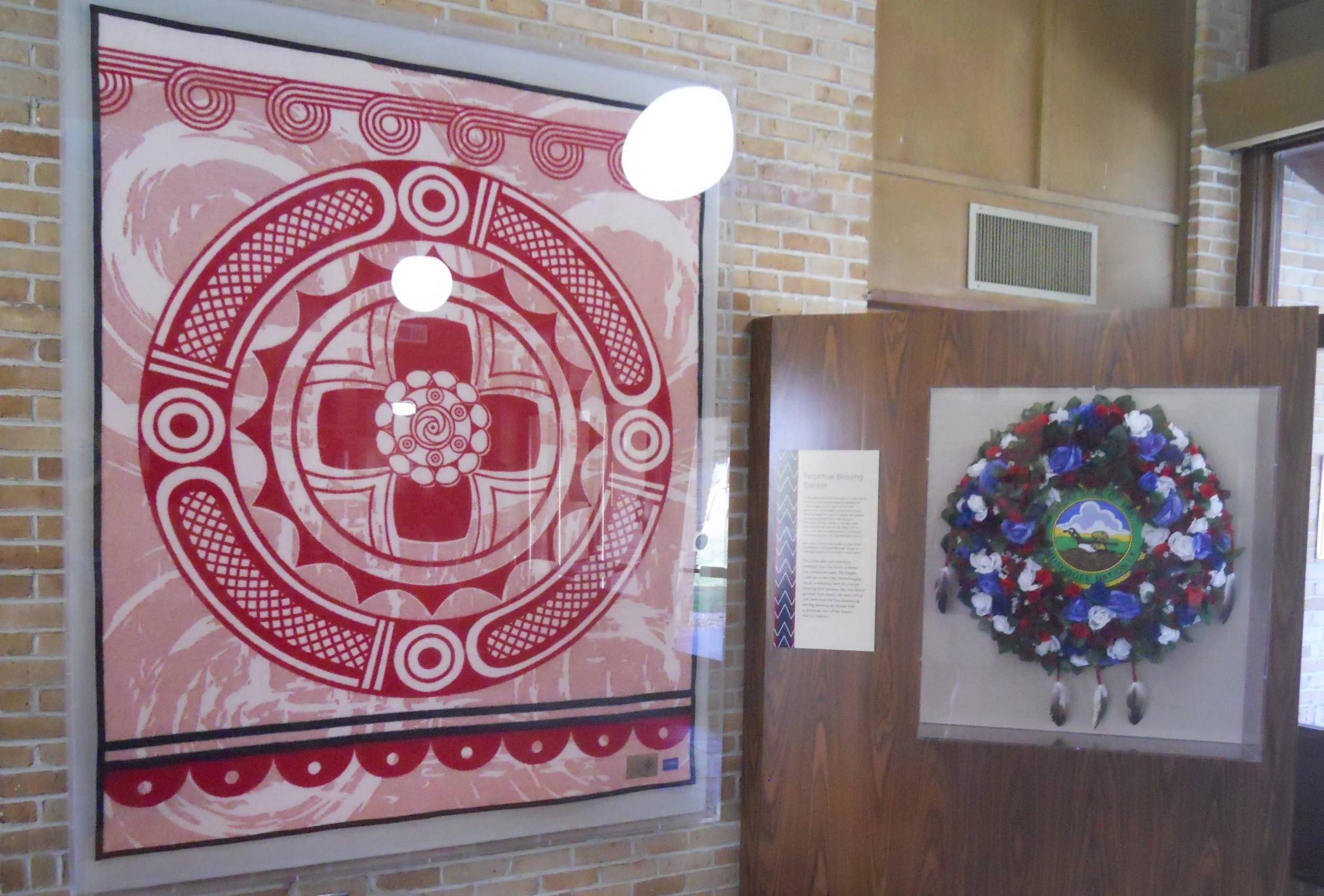
The VC also displays a Perpetual Blessing Blanket, presented to the park by the Creek Nation on the 200th anniversary of the battle (photo at top).
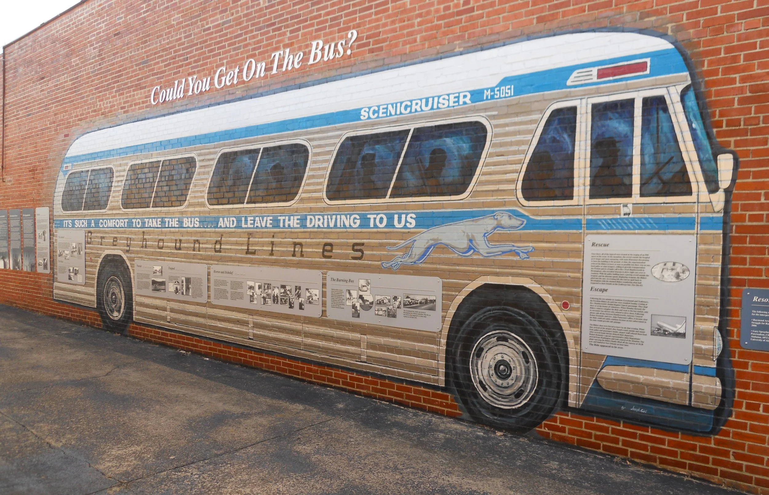
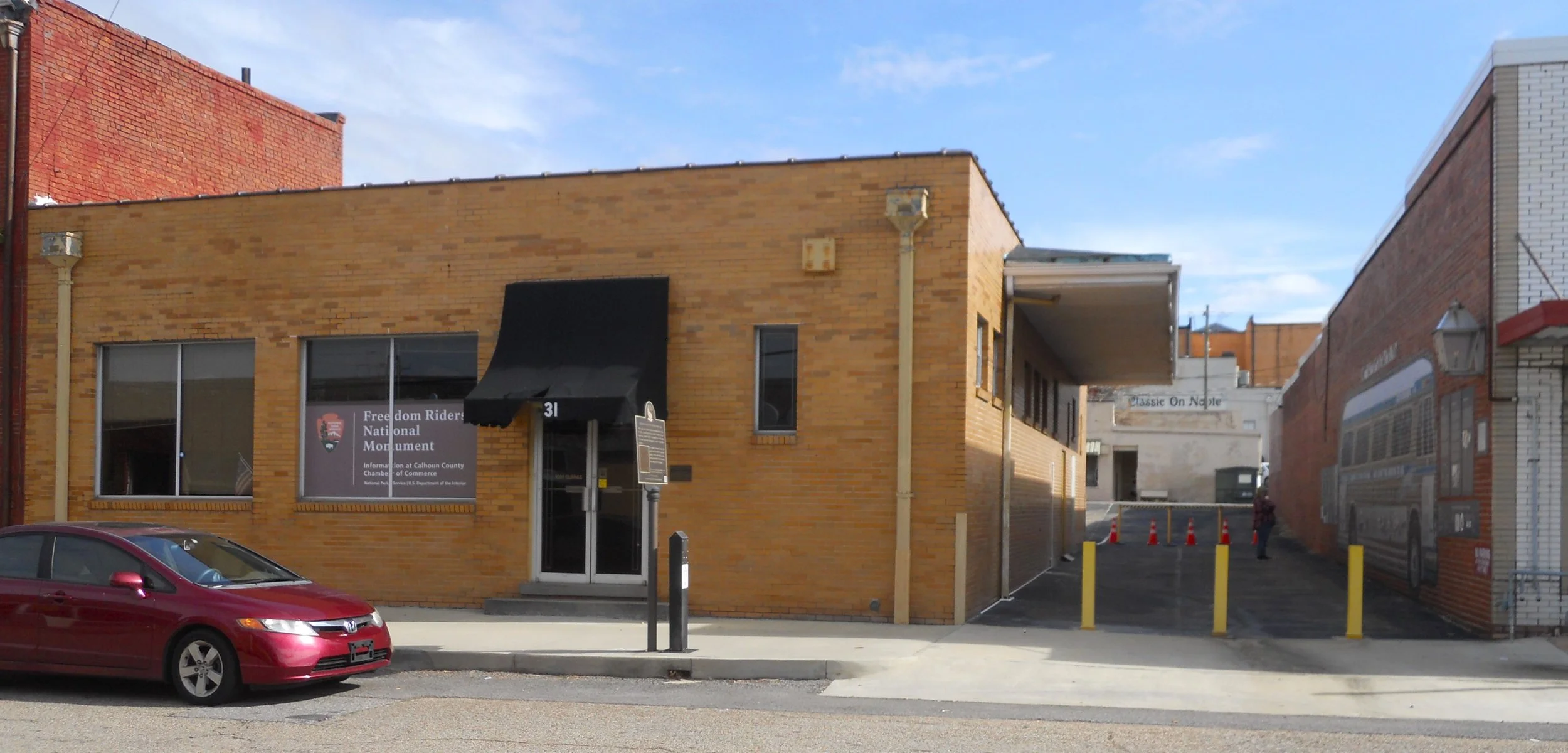
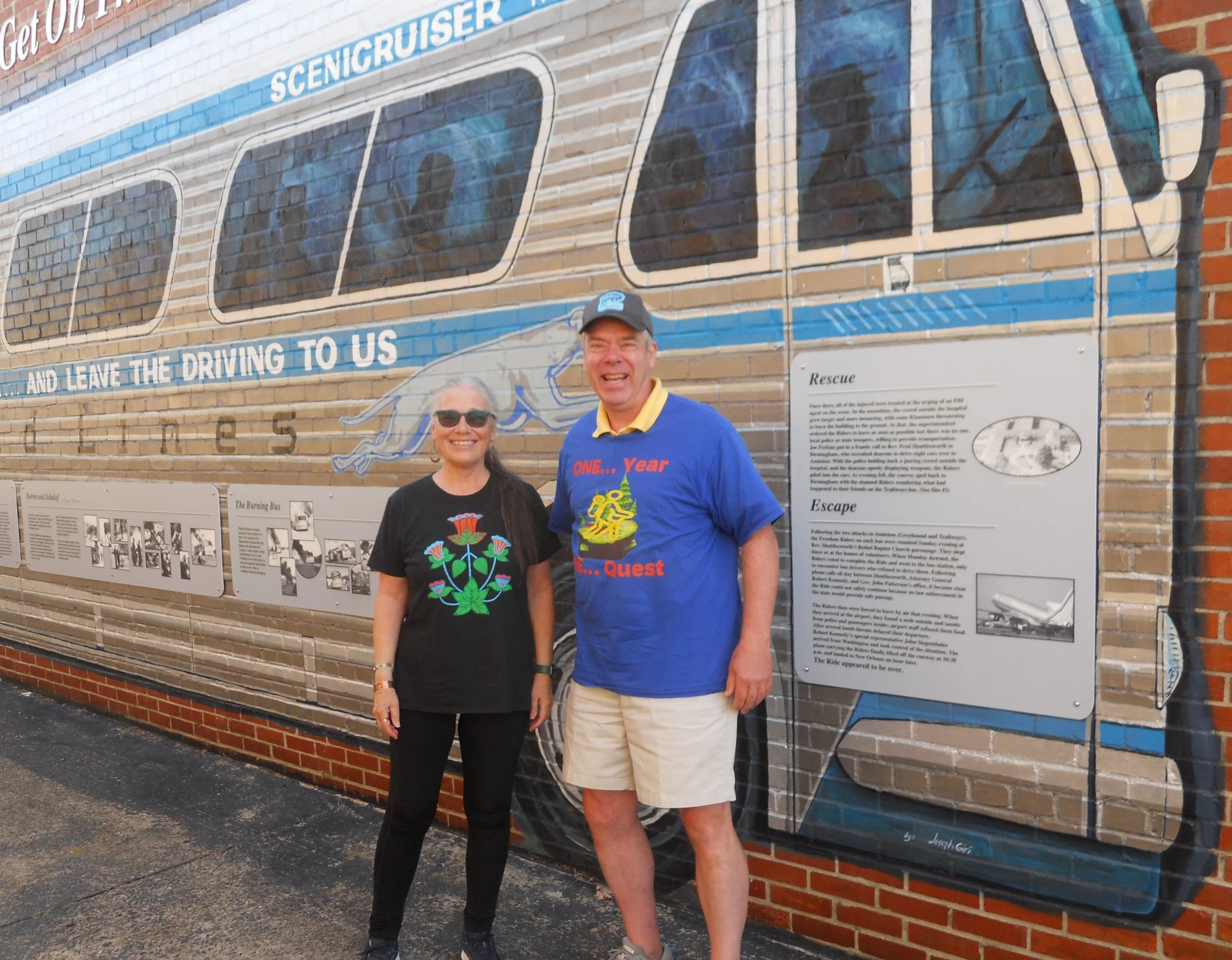
About 1.25 hours northward, off I-20, is Freedom Riders NMon. A small group of mixed-race people boarded a Greyhound bus at the Anniston bus depot, in 1961. They were protesting segregation practices/laws associated with interstate travel.
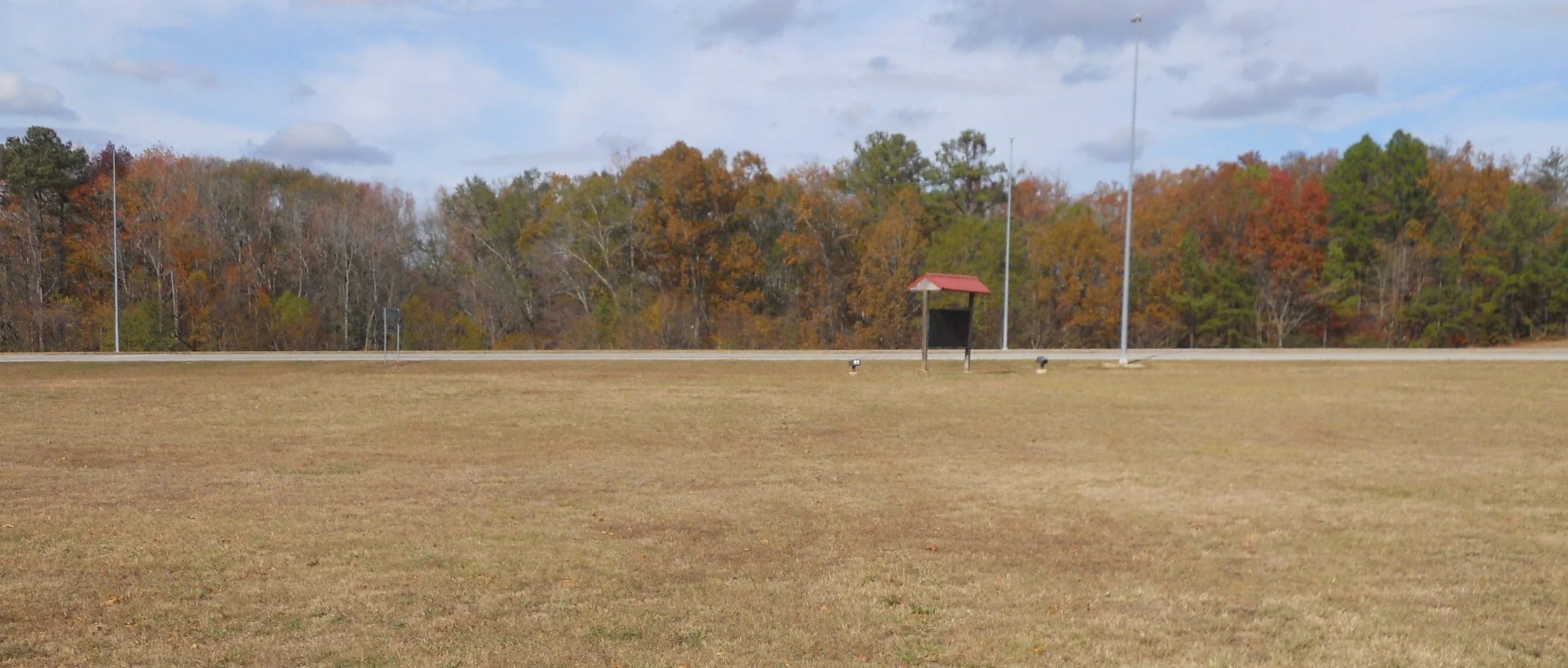
A few miles down the road as the bus was going to Birmingham, an angry mob attacked the bus and burned it. The spot of the attack and burning is along highway 202. Other than the one sign near the road, no other markers to indicate what happened here. The NPS has plans to develop this location (this park was only recently established, in 2017). Back at the bus depot I met another NPTC member, Susan. Yes, us NPTC folks get around this country, seeing all 425 of the parks.
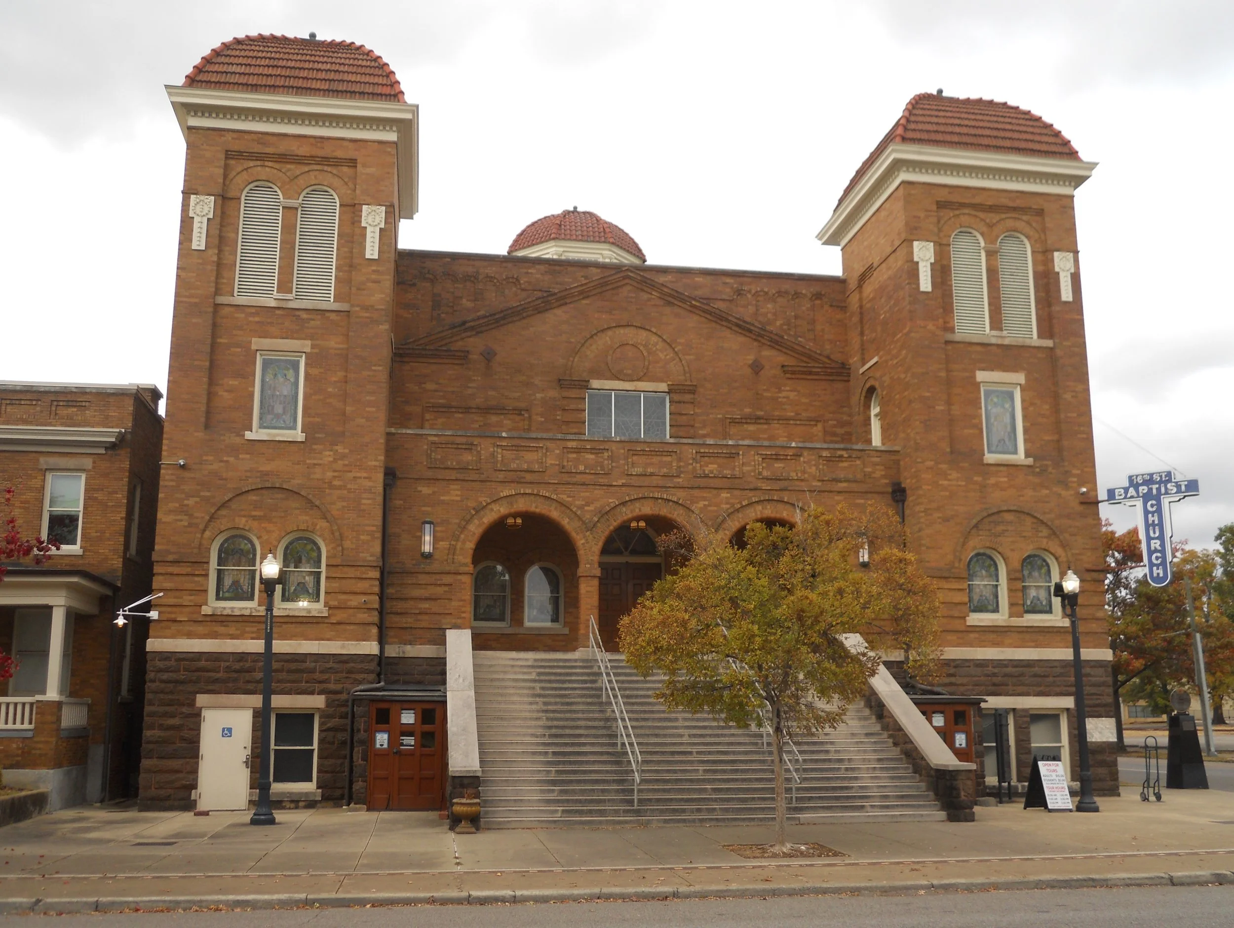
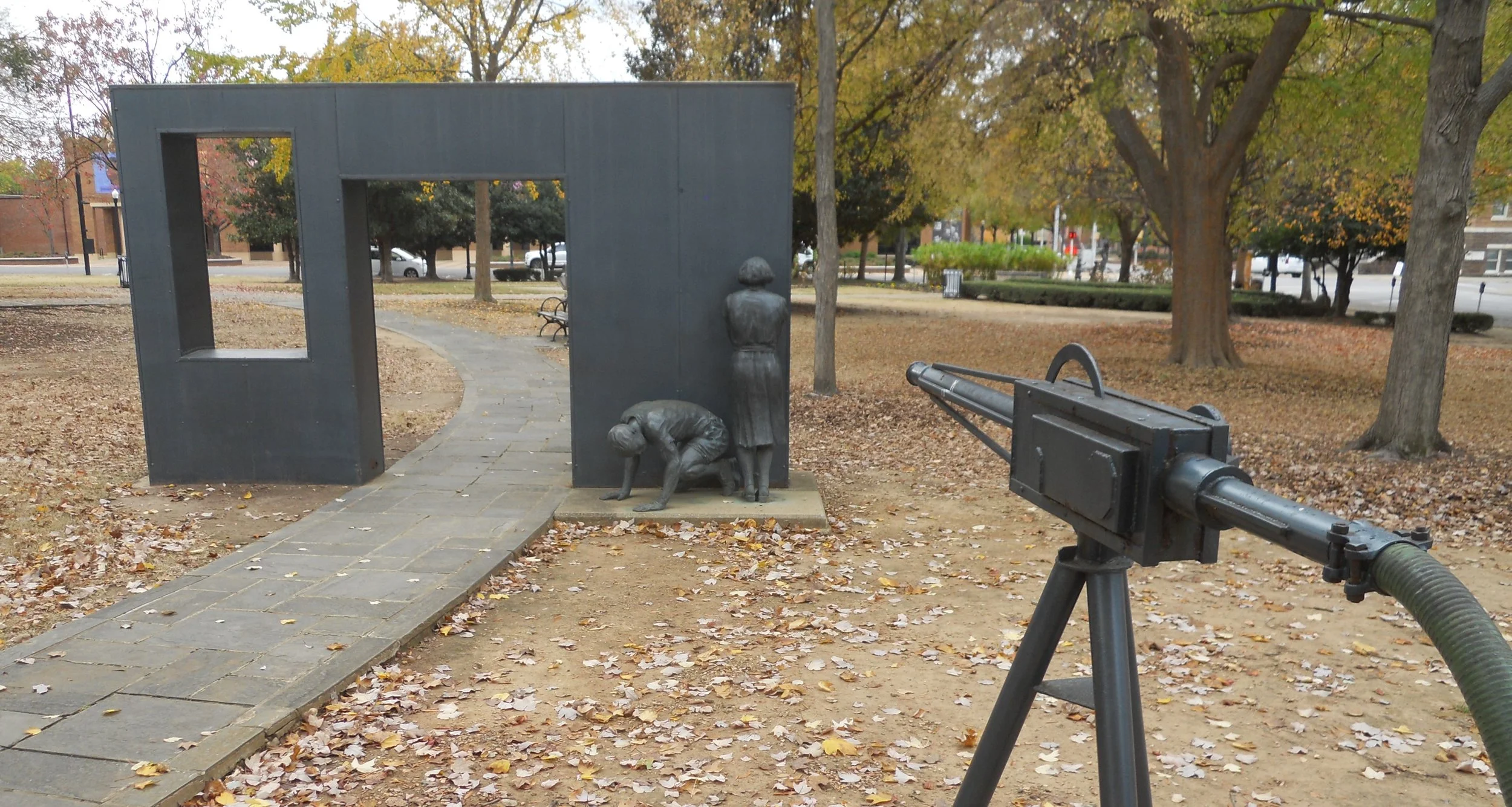
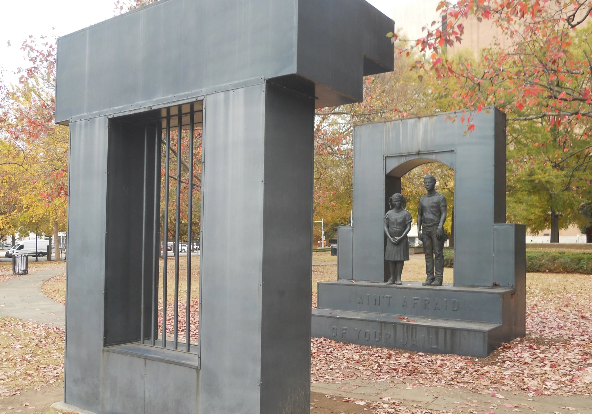
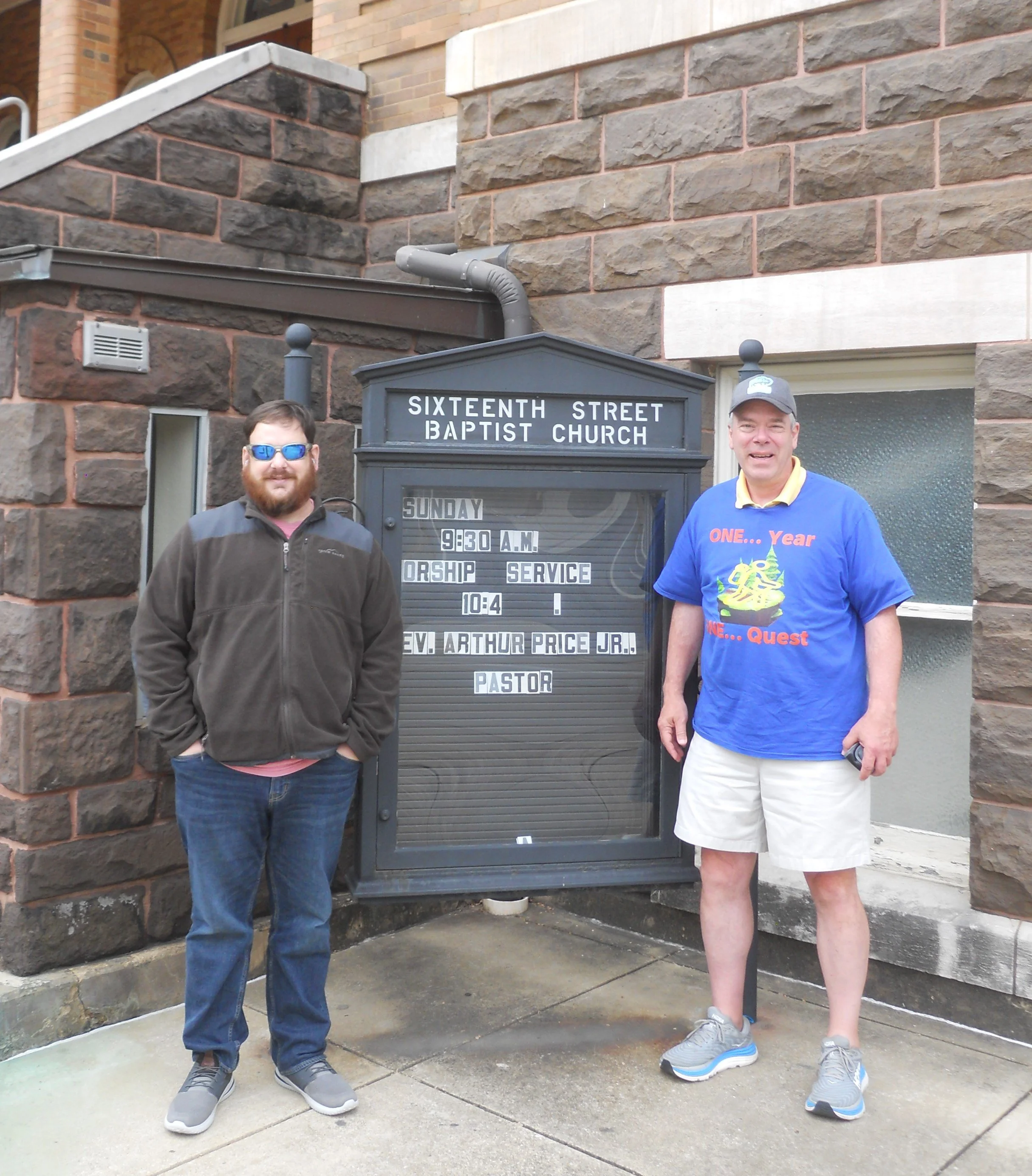
Speaking of Birmingham, that was the next park, at Birmingham Civil Rights NMon. On September 15, 1963, 19 sticks of dynamite exploded on the east side of the 16th Street Baptist Church. Four young girls were killed, many other folks injured. Four members of the KKK were responsible, but not until 1977 were any of them prosecuted. FBI Director Hoover had closed the case in 1968, withholding damning evidence from prosecutors. Eventually, three of the men were sentenced to life without parole, after Alabama reopened the case. The park across the street from the church has sculptures depicting hazards the African-American community had to deal with in the 1960s, such as prison and water cannons. John, a NPTC member, met me at the park.
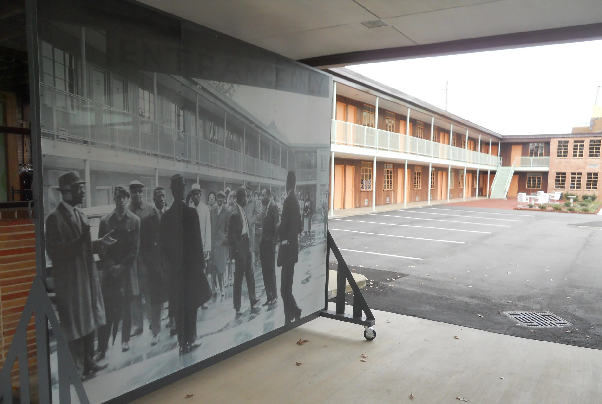
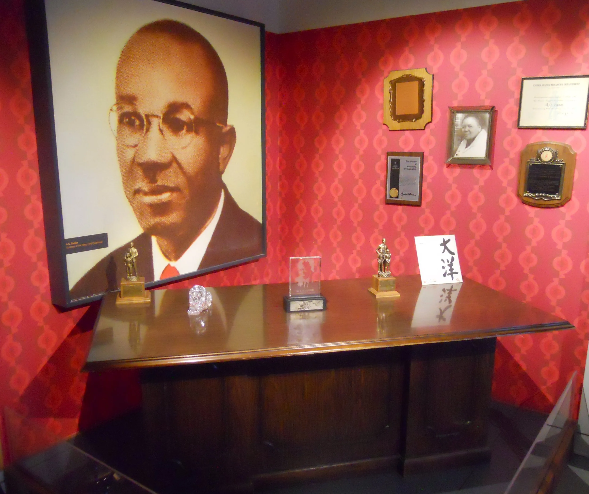
The AG Gaston Hotel was open for touring. The famous photo with Gaston, Dr. Martin Luther King Jr, Rev. Fred Shuttlesworth, and others is in the vehicle entryway to the hotel. The museum in the hotel contains Gaston’s desk. Gaston was a self-made millionaire, using his fortune to support the fight for equality and justice for African-Americans.
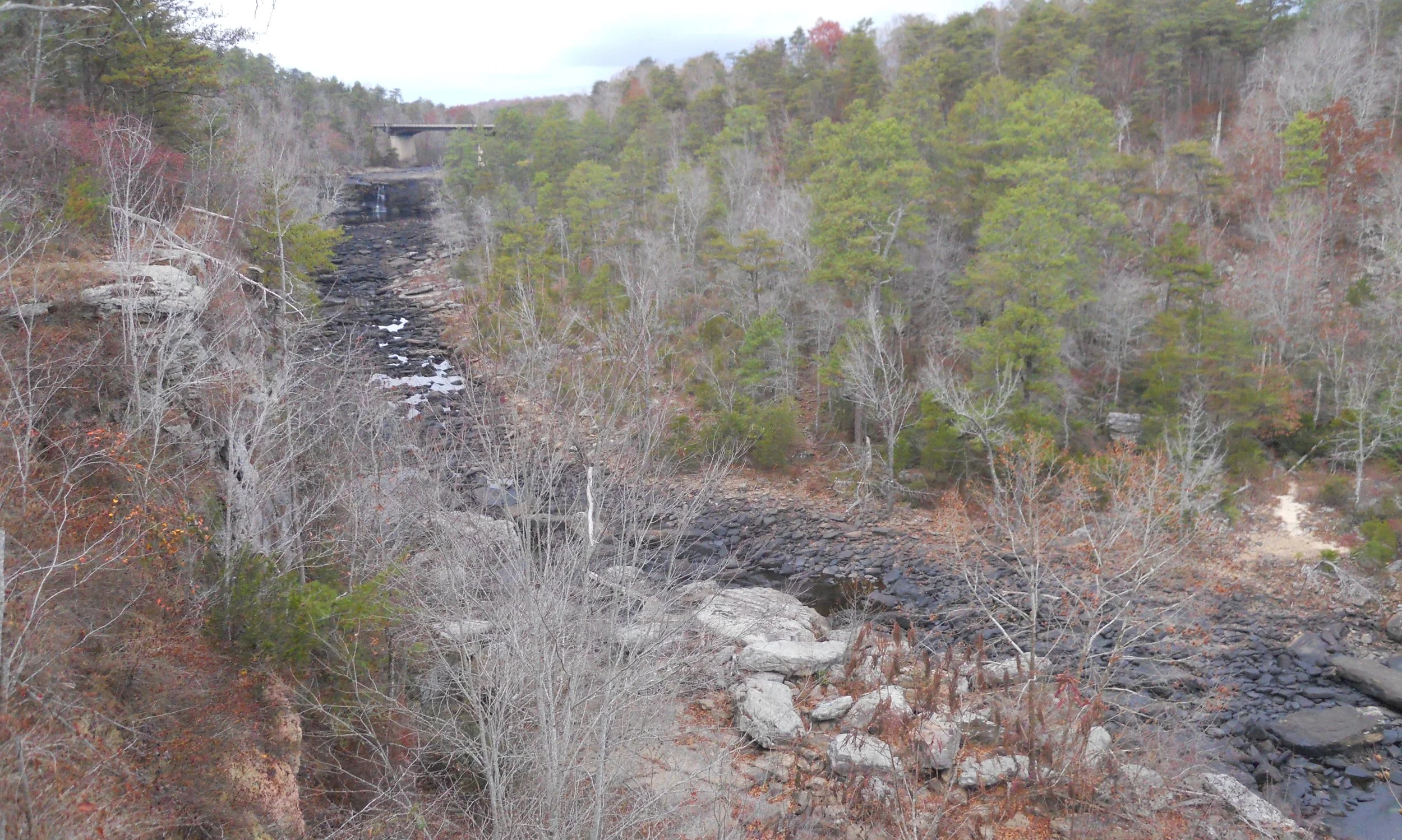
Little River Canyon NPres is unique in that most of the distance traveled by the river’s water is on top of Lookout Mountain. Are not rivers supposed to be on ground-level? The most visited feature in the park is Little River Falls, dropping 45 feet. This being November, there was not much water to see today. Wait until winter and spring.
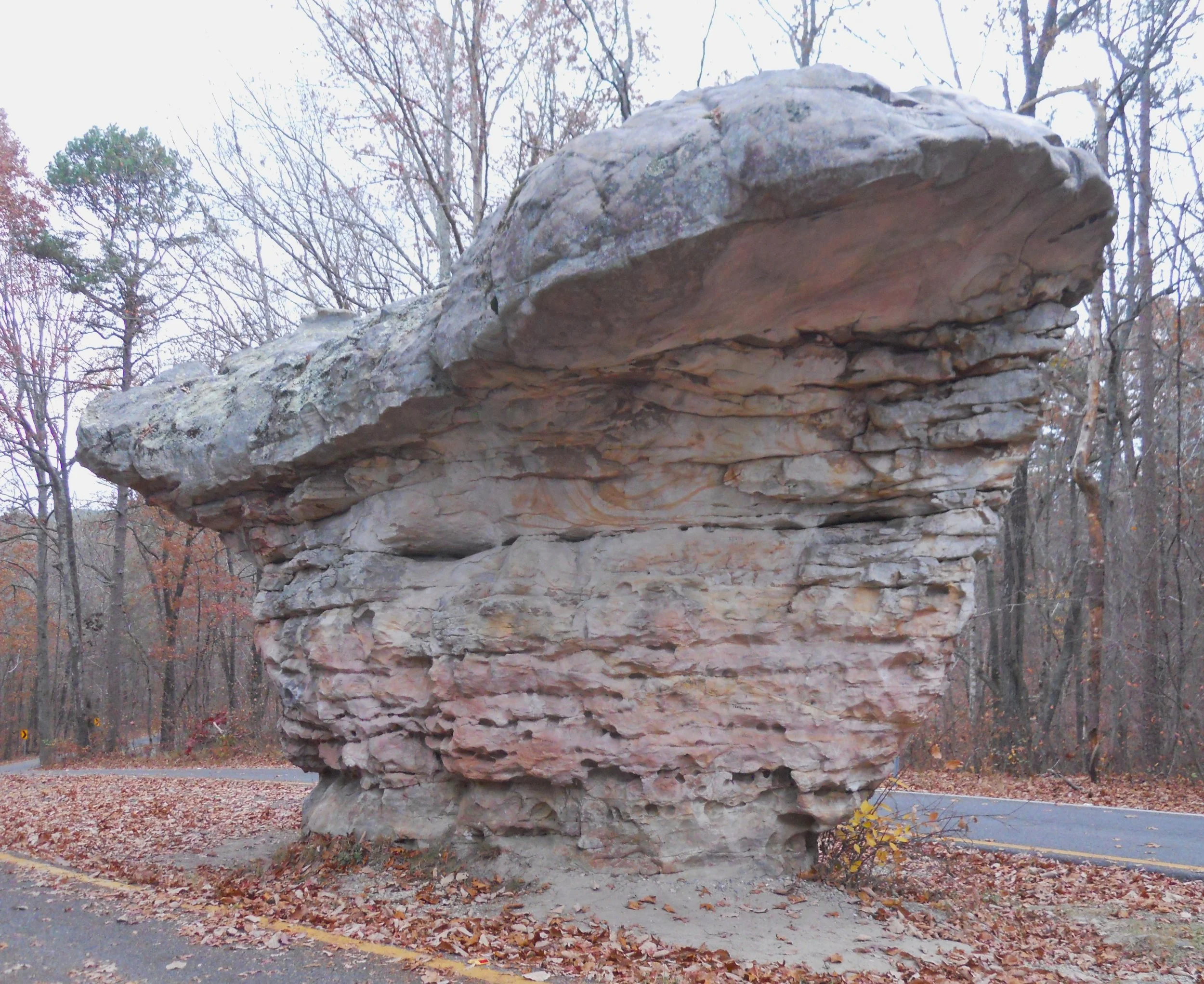
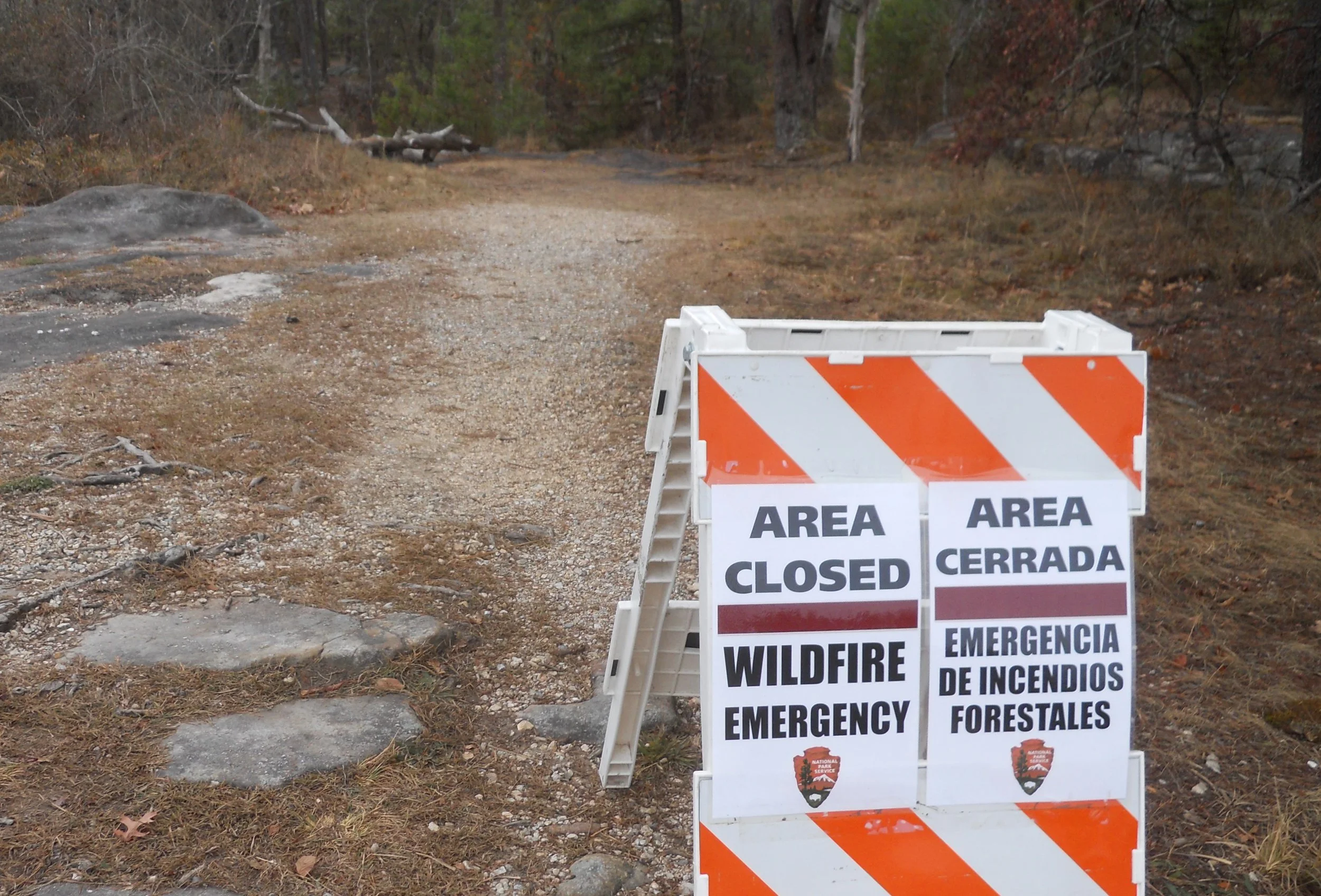
NPS firefighting crews from around the country were helping the park battle wildfires. I met men from the National Capital Region and Olympic NP. The Rim Road has overlooks to view down into the canyon, but it also has some interesting geological features, such as this rock formation.

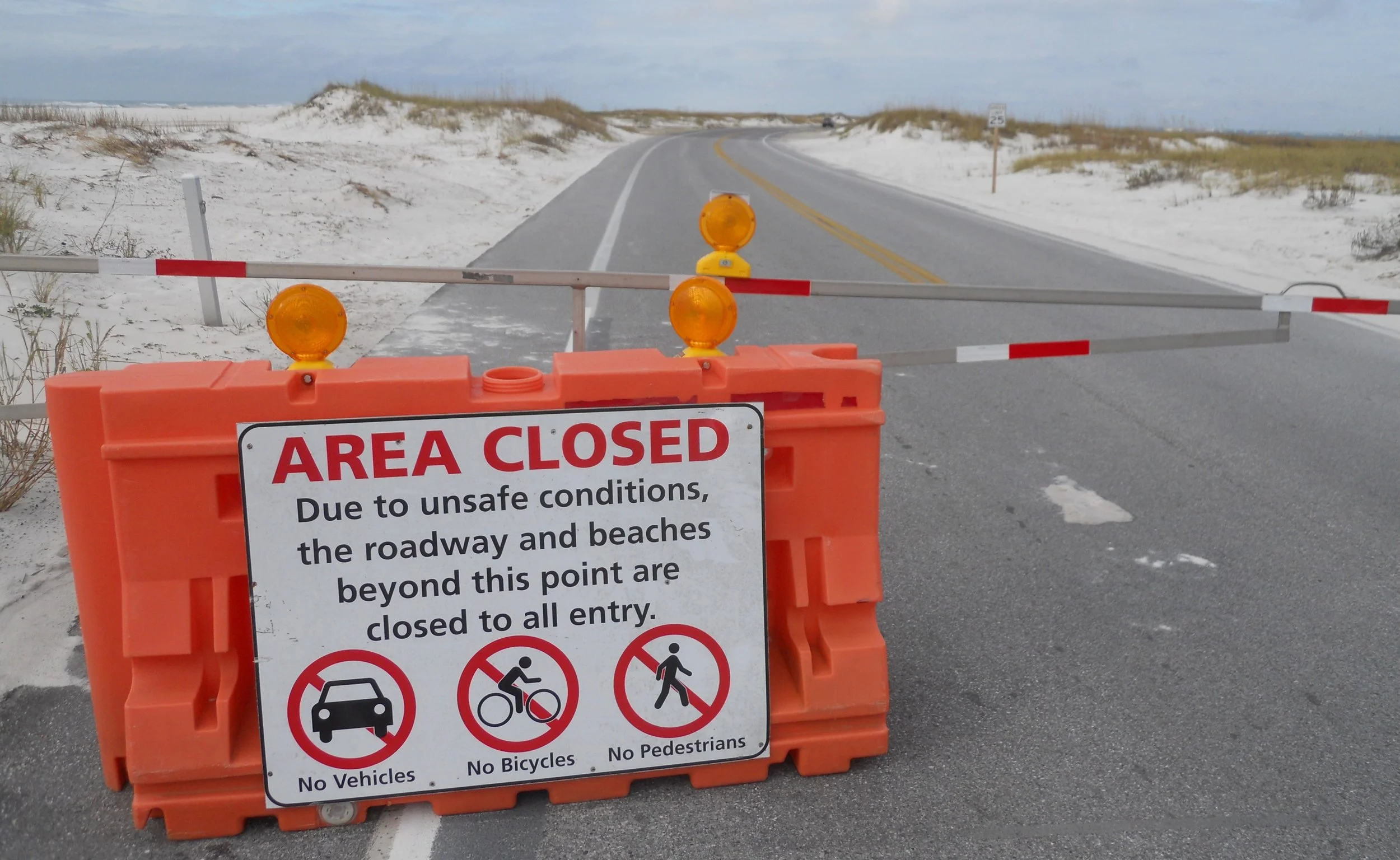
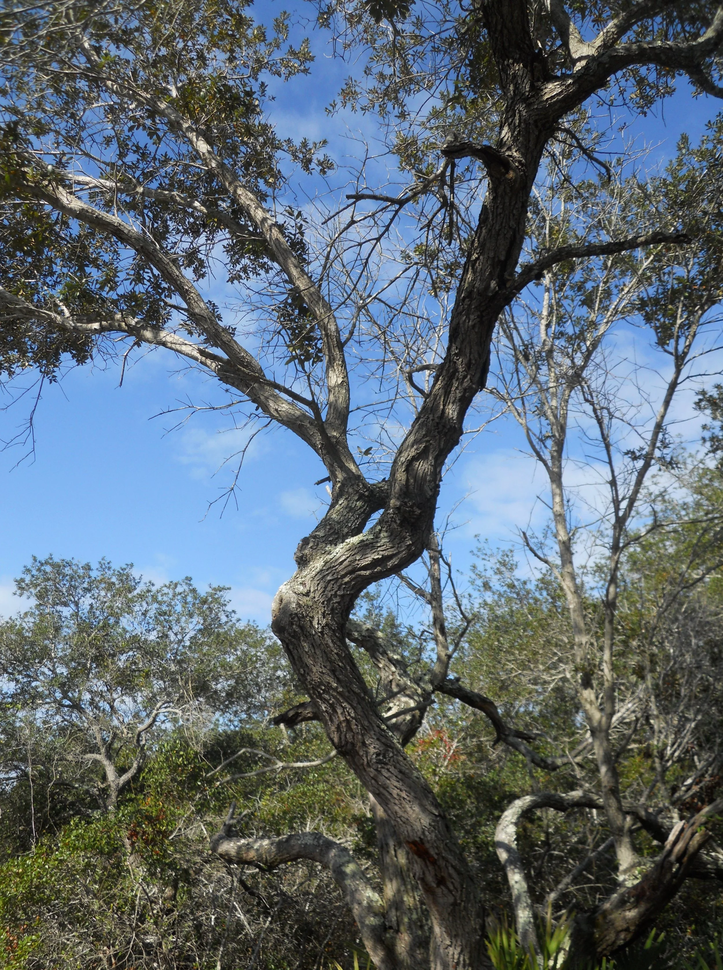
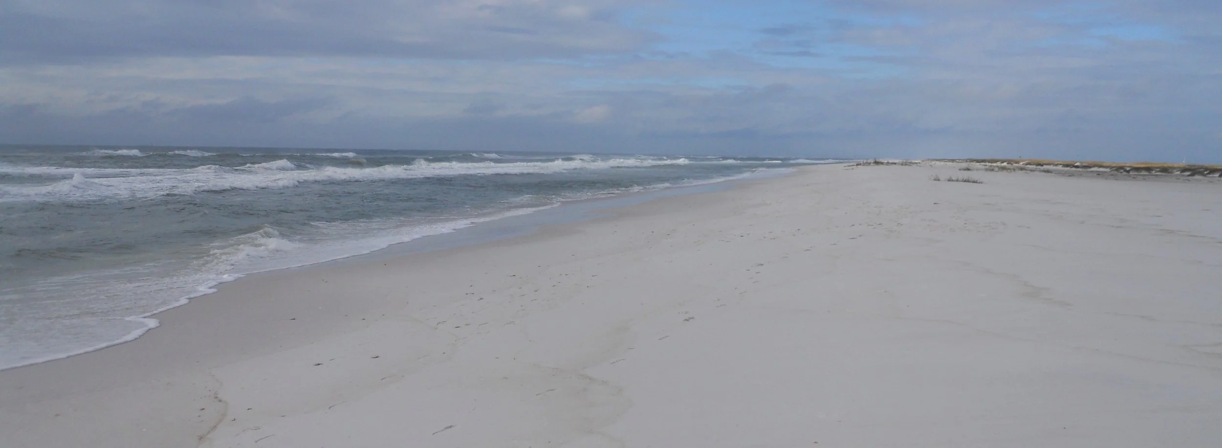
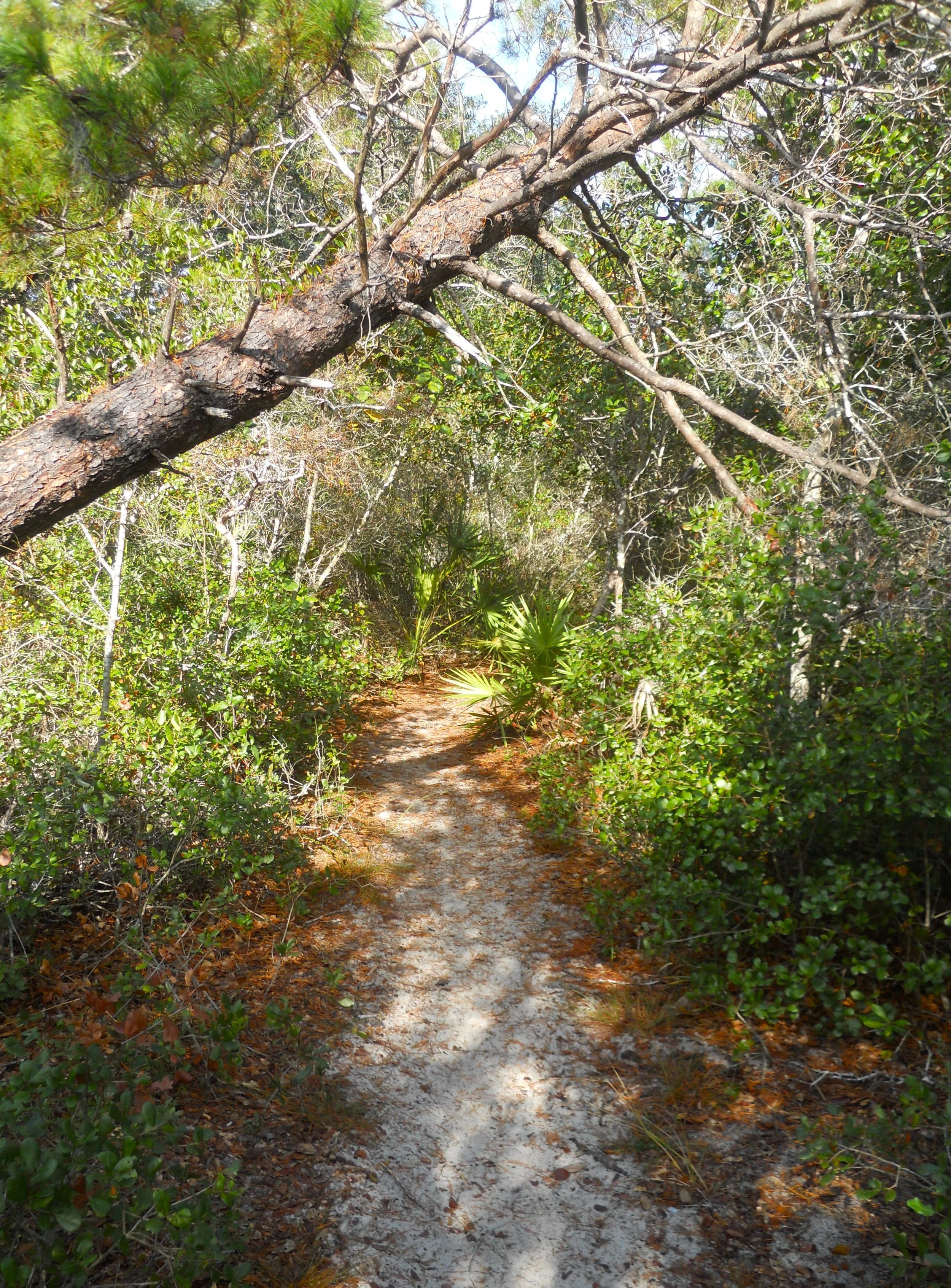
DAY 10 (November 16) - Turns out Gulf Islands NS was still reeling from the recent storms. The Fort Pickens area (fort, VC, trails, beaches, etc.) were closed. I parked the car and walked over to the ocean beach in order to “step inside the park”. Turns out I did not have to do that since the Naval Live Oak section of the park was open. Trails take you through oak and pine forests.
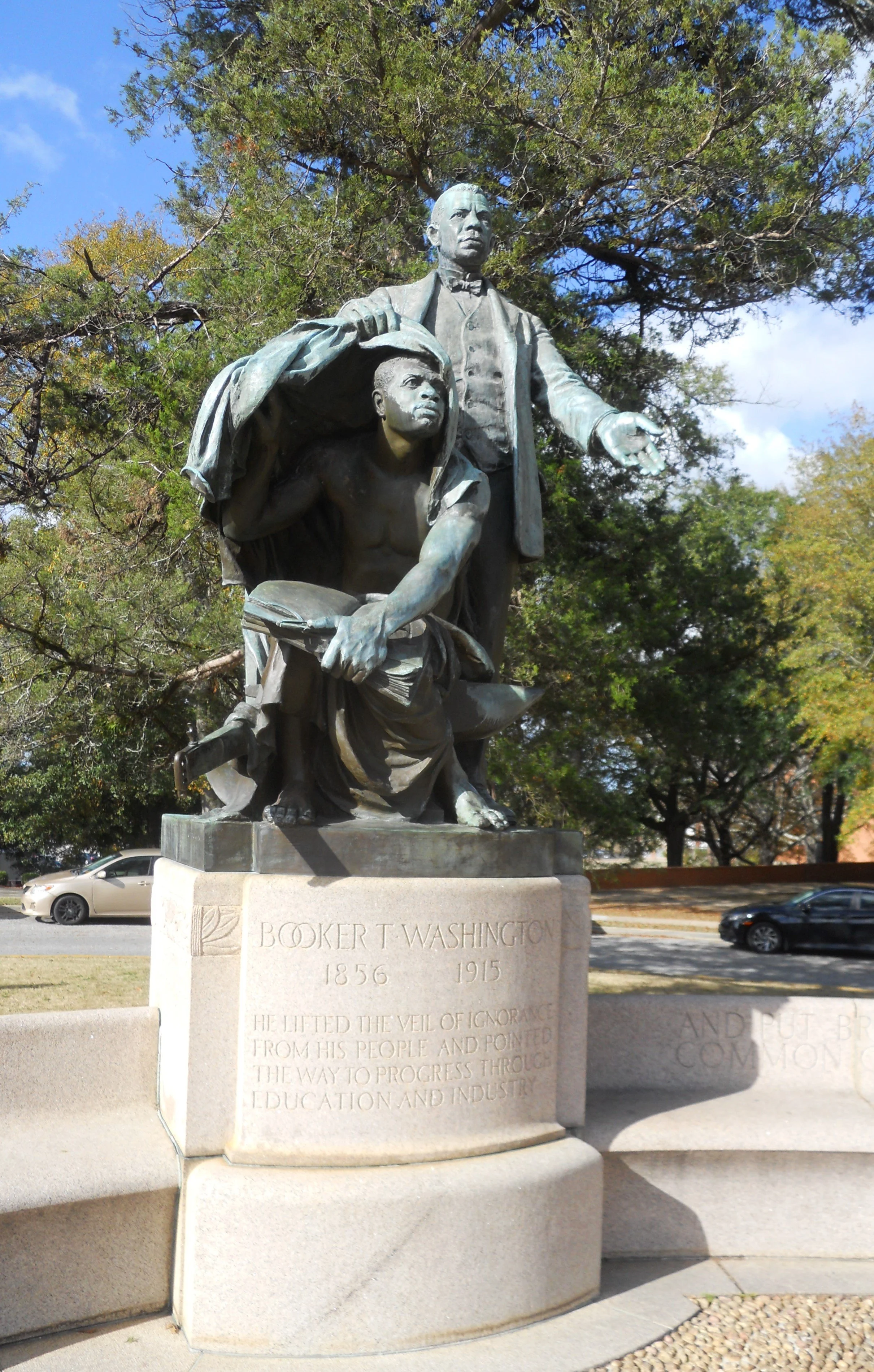
Then a 3.5-hour drive to Tuskegee Institute. This is the school Booker T. Washington built, inviting the brightest educators to help mold the next generations of African-Americans. The most famous of those teachers/researchers was George Washington Carver.
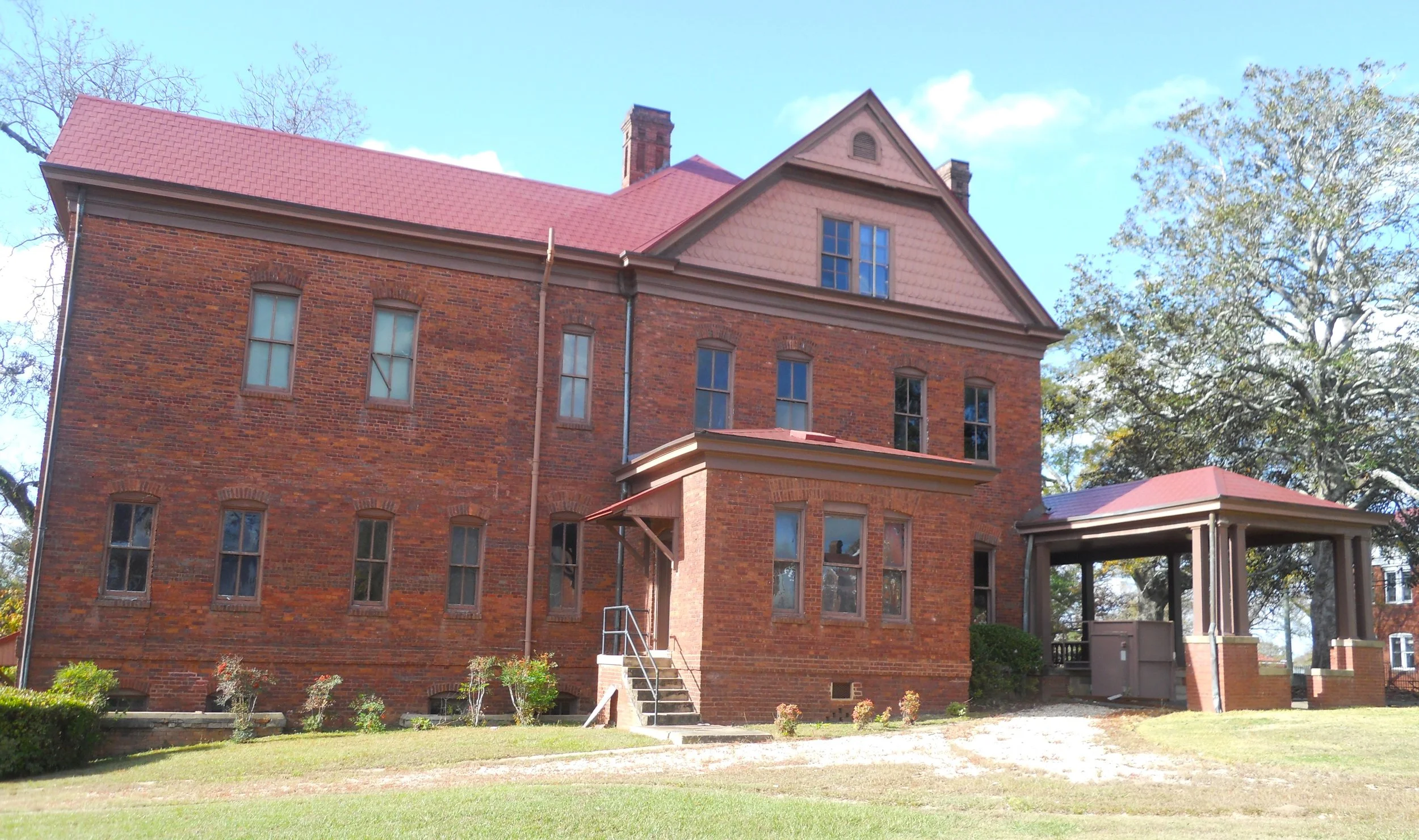
Washington’s home, The Oaks, can be toured by reservation. Across the street is a monument next to Carnegie Hall. I met three young men who are studying at the school. Andrew Carnegie was a large supporter of the school. Near Dorothy Hall (classes in food preparation and hotel management continue to this day in this building) is a sculpture of Washington.
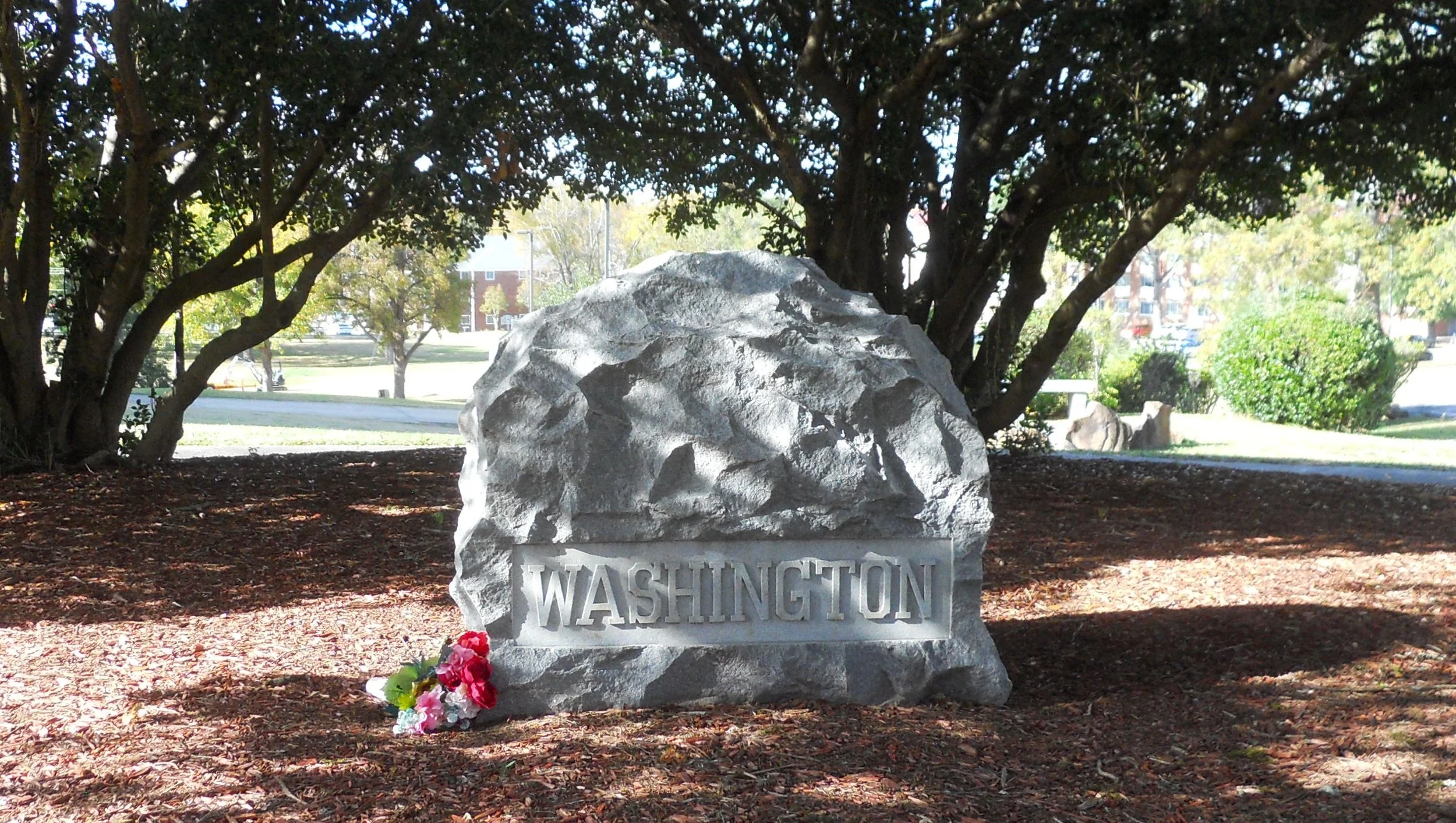
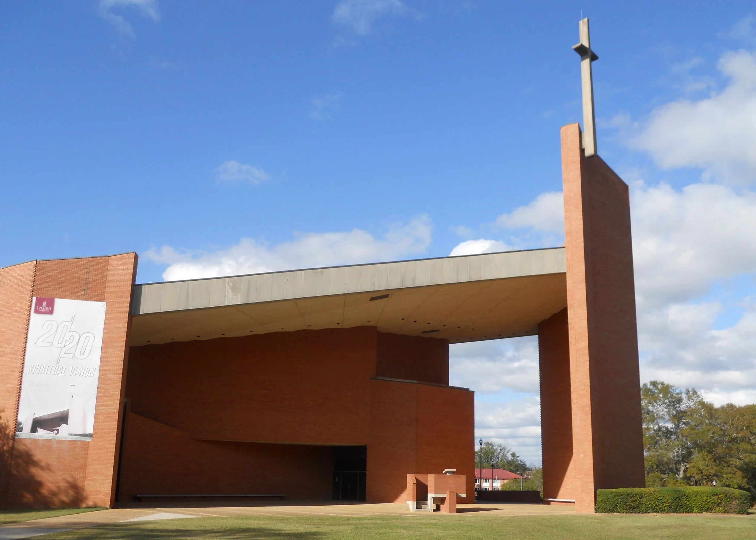
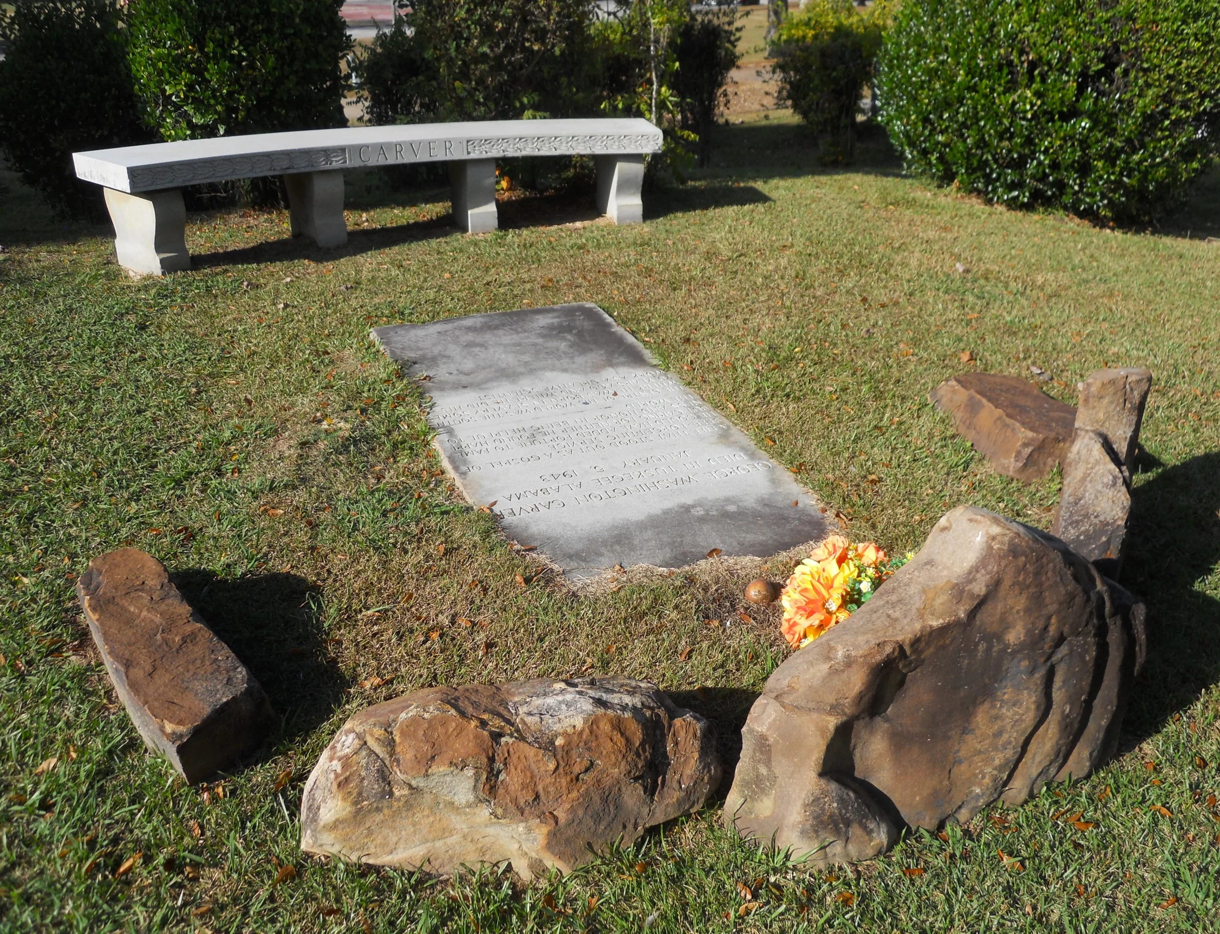
Next to that location is the school’s chapel. The original chapel was hit by lightning in 1957 and burned. The new chapel is renowned for it lack of right angles in the architecture. Further down the road is Tuskegee Cemetery, where Washington and Carver are buried.
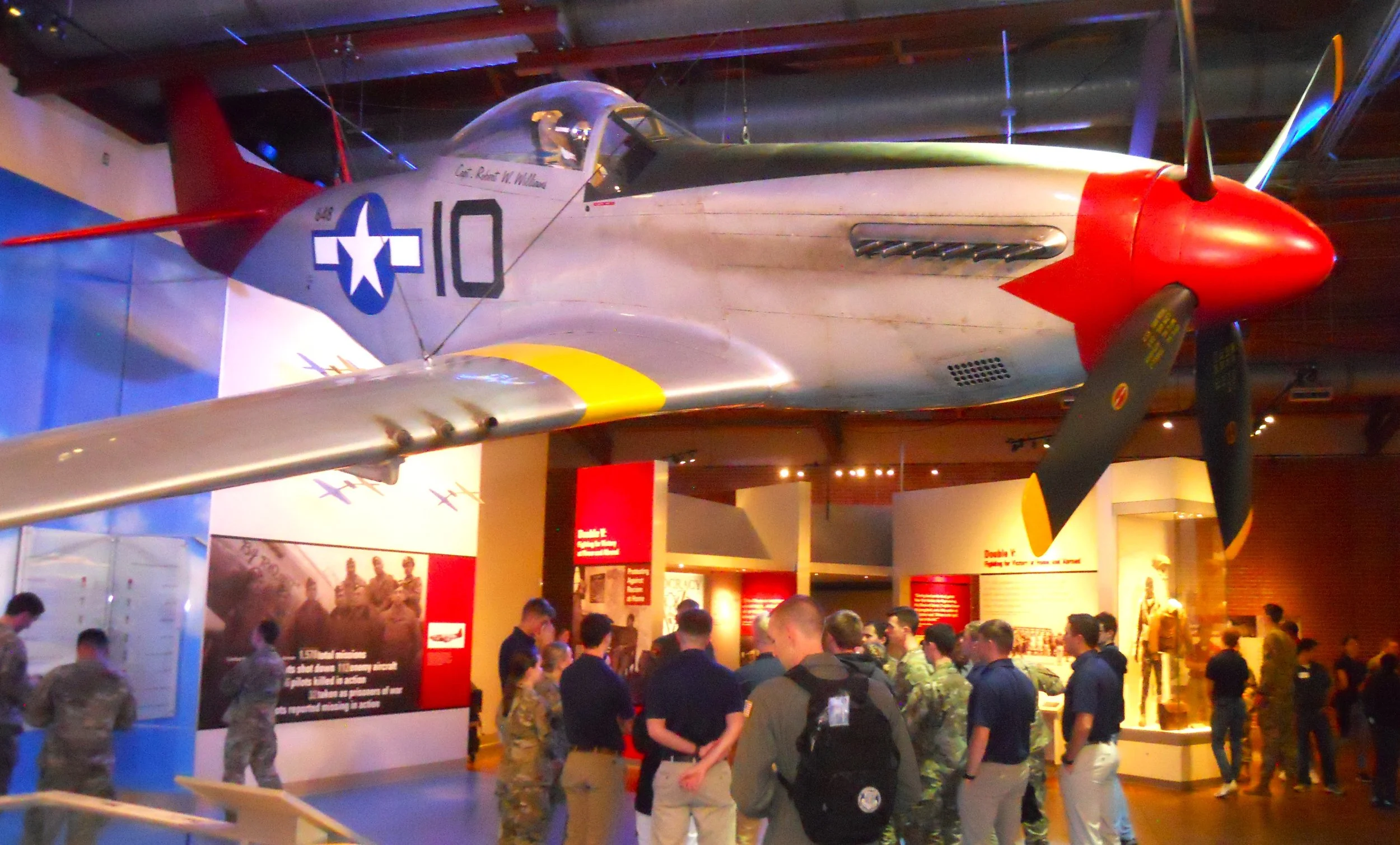
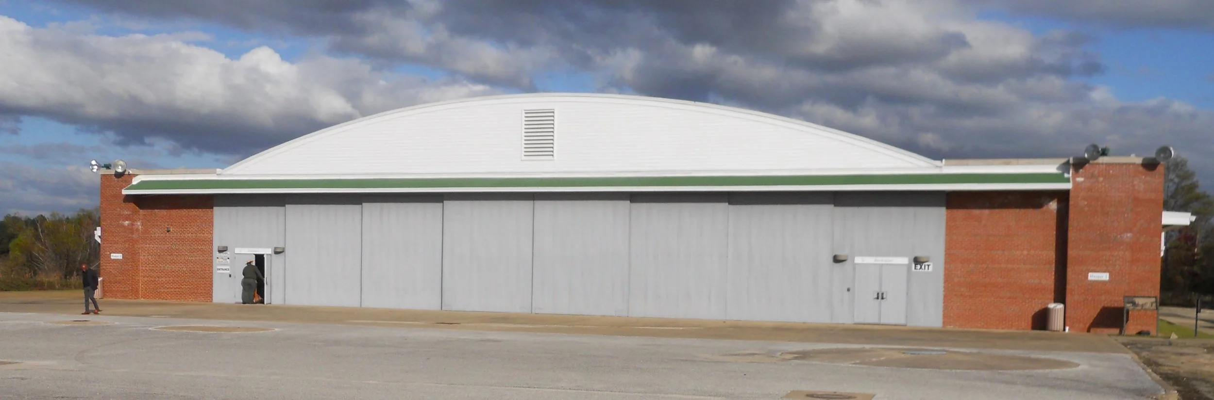
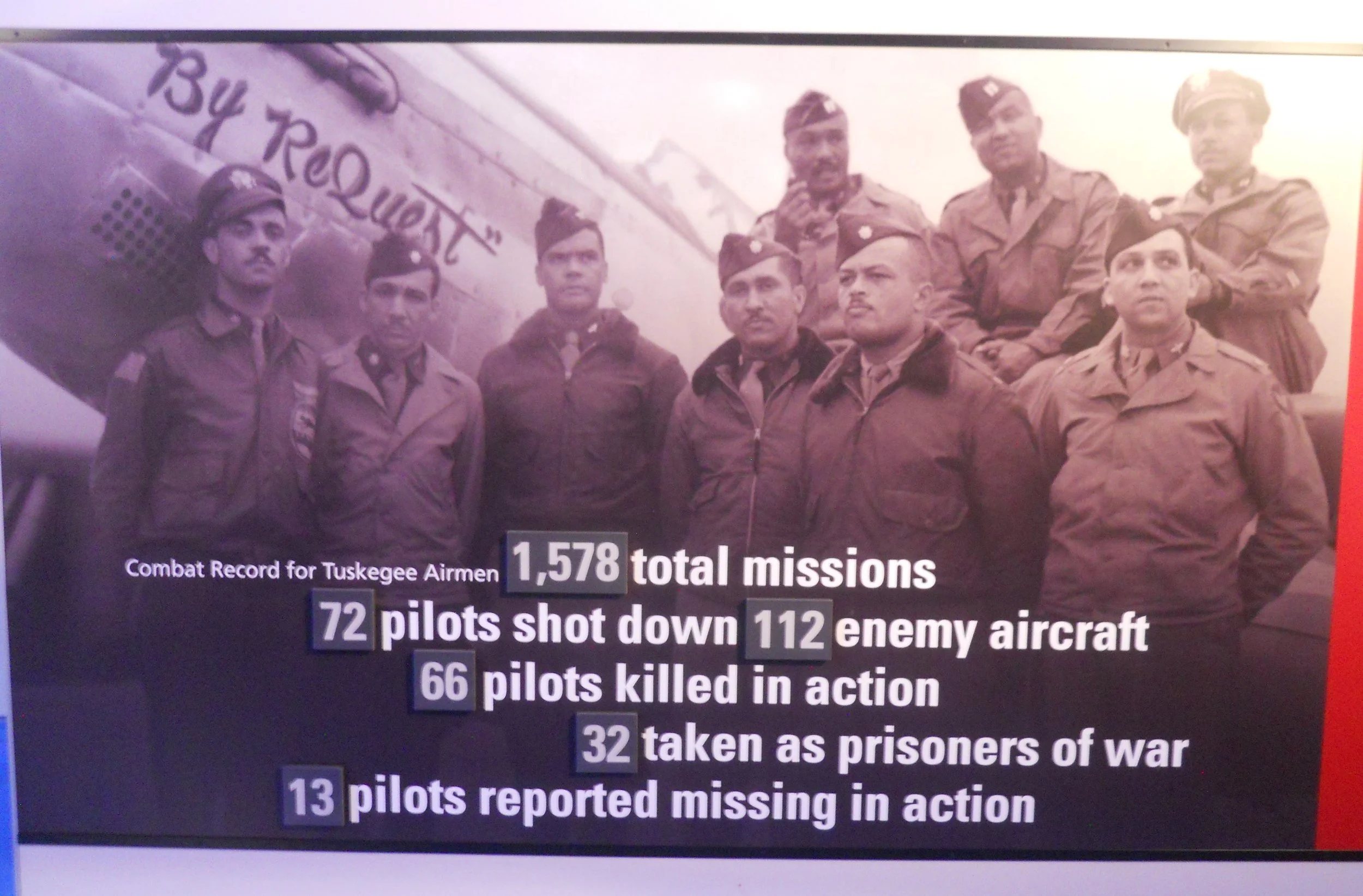
A visit to Tuskegee would not be complete without stopping at Tuskegee Airmen NHS. This is where the legend of “Red Tails” was born. Tuskegee airmen served in WW2. It was at this airfield that the military ran tests with African-American pilots to see if they could perform in combat. And boy, did they ever pass. They were the best fighter protection unit of the 15th Army Air Force, losing only 27 bombers, while the average across all P-51 escort groups was 46.
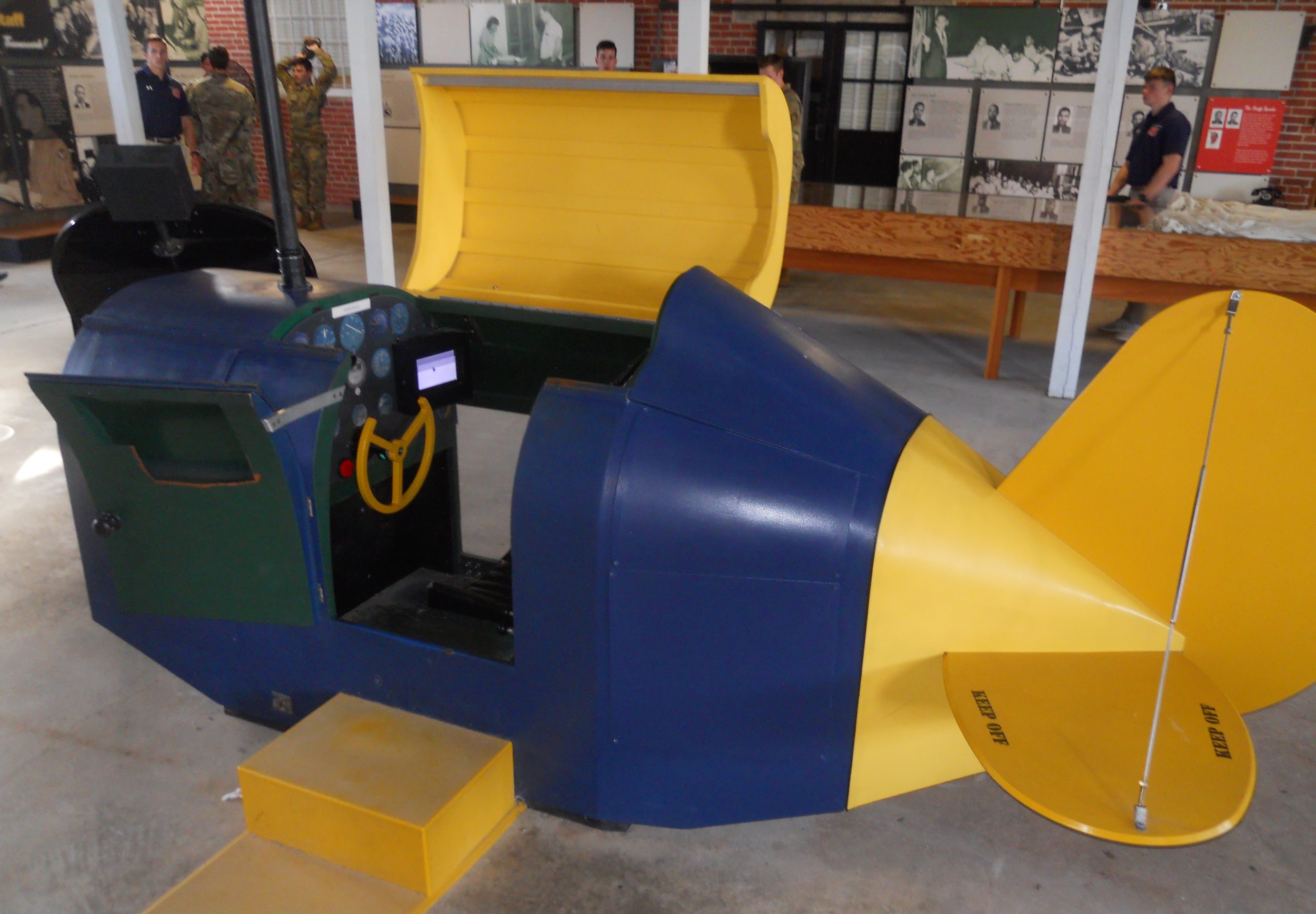
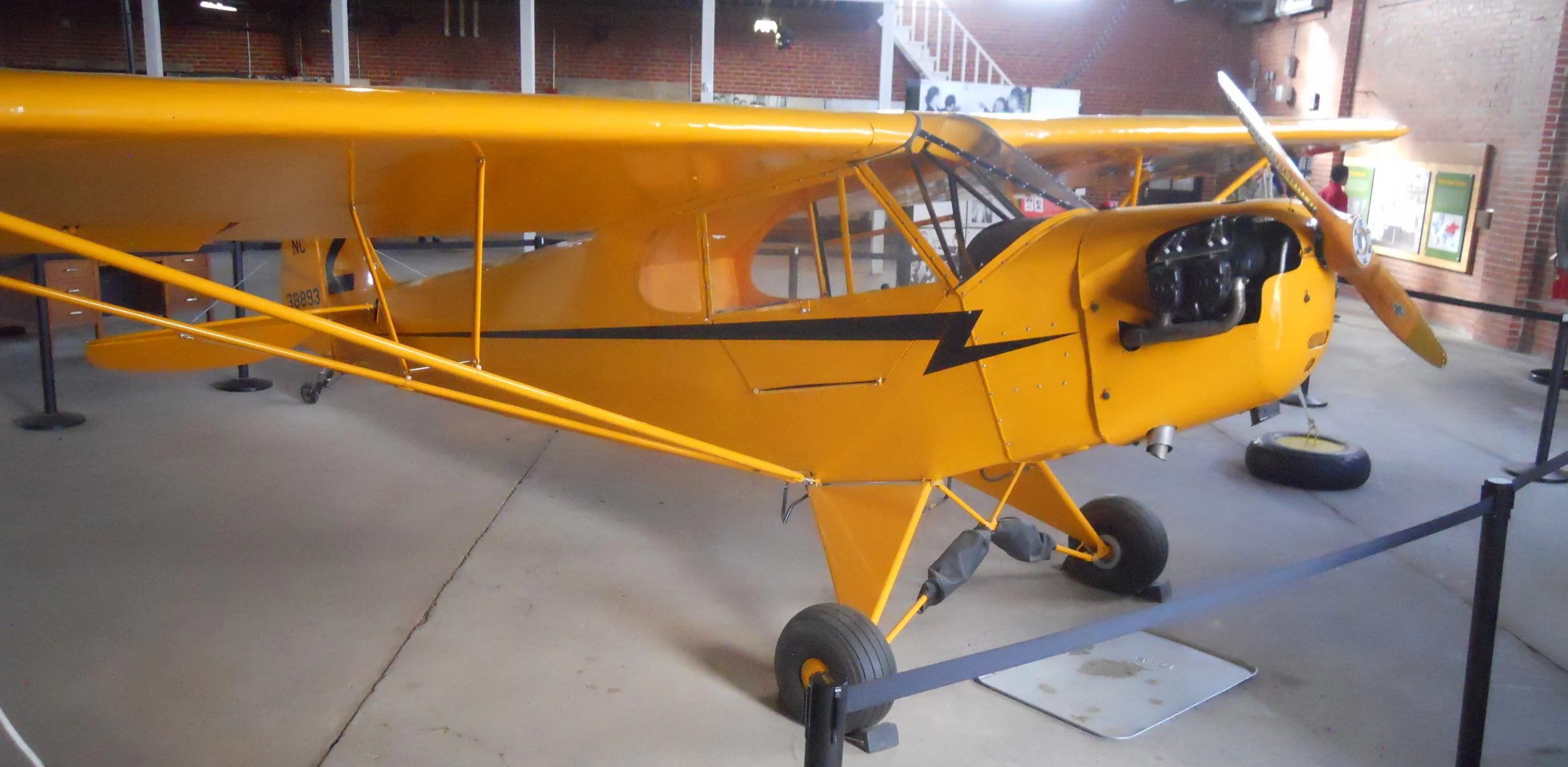
The park has two of the field’s original hangers. Hanger 2 houses a museum, but Hanger 1 has the Link Trainer (1940’s era flight simulator), along with the two training planes used at the field. The larger of the trainers had antique 8.90-12.50 Goodyear tires.
A pleasure for me today was meeting a number of young men from Auburn University. Men and women in the school’s ROTC program were visiting the park. A 4-star General was on hand to talk to the soon-to-be officers in our country’s military forces. A big salute to all the men and women who have served in our armed forces, especially those who gave the ultimate sacrifice in defending our country.

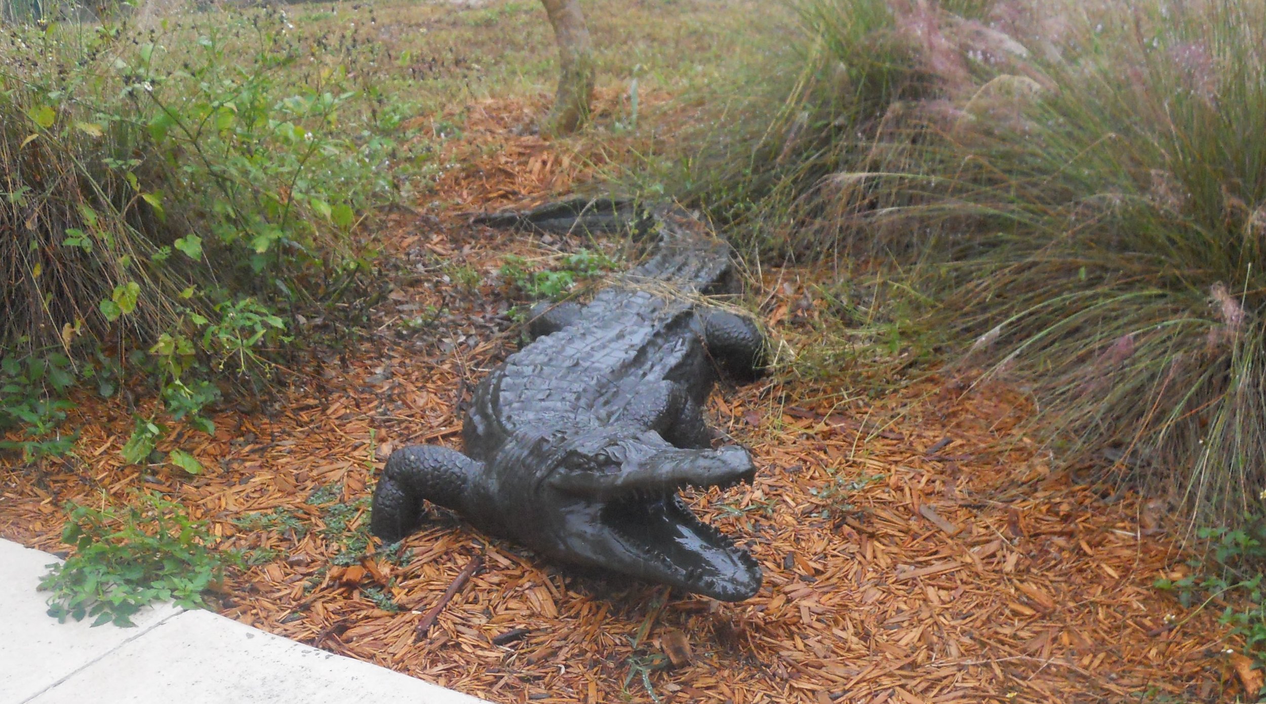
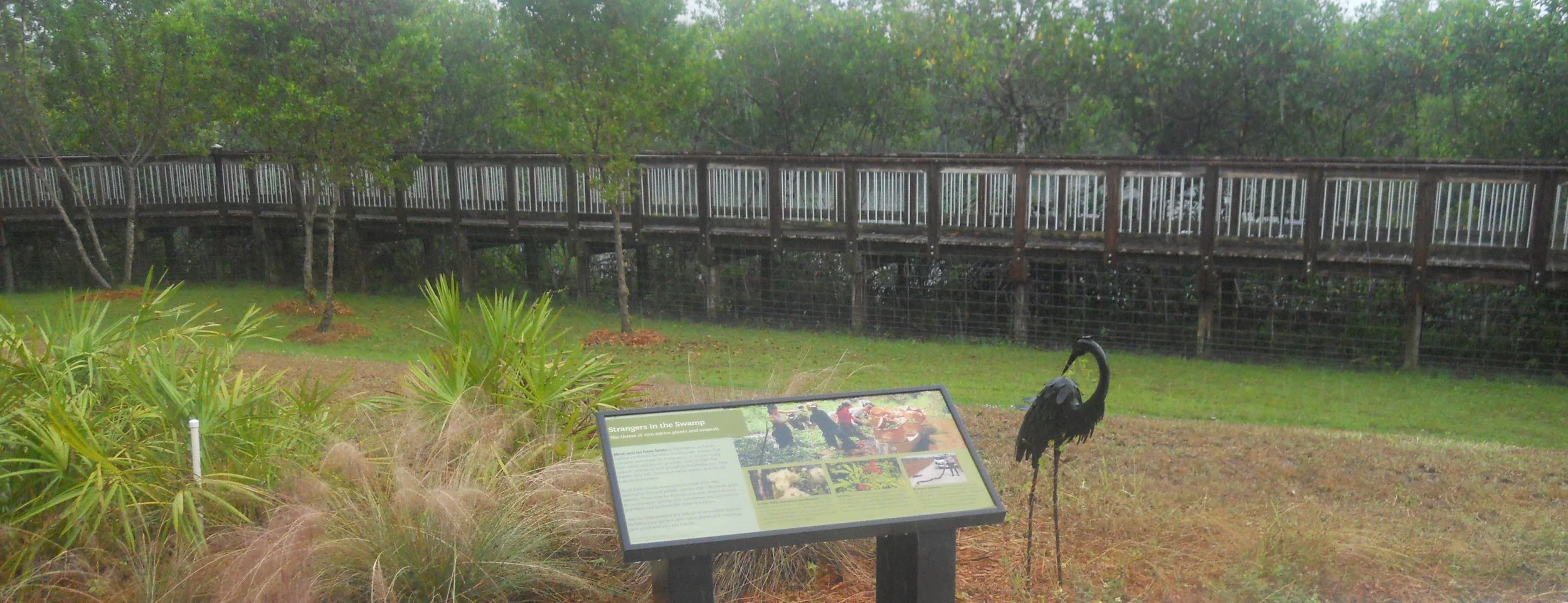
DAY 9 (November 15) - Big Cypress NPres was drenched this morning. There seemed to be more water coming out of the sky than what was on the surface of the park, and this is a water park. I only saw one alligator. No, not the guy in the photo, which is a sculpture at the Nathaniel Reed VC (and the boardwalk photo is at Reed VC). The Oasis VC has a long boardwalk which parallels the canal alongside route US 41. That is where the gators hang out. But I could only see one who poked his head above the water line, and I was not getting out in the downpour for a headcount. The Keys even had a tornado warning this morning. The couple of hikes I had planned will wait for my next visit.
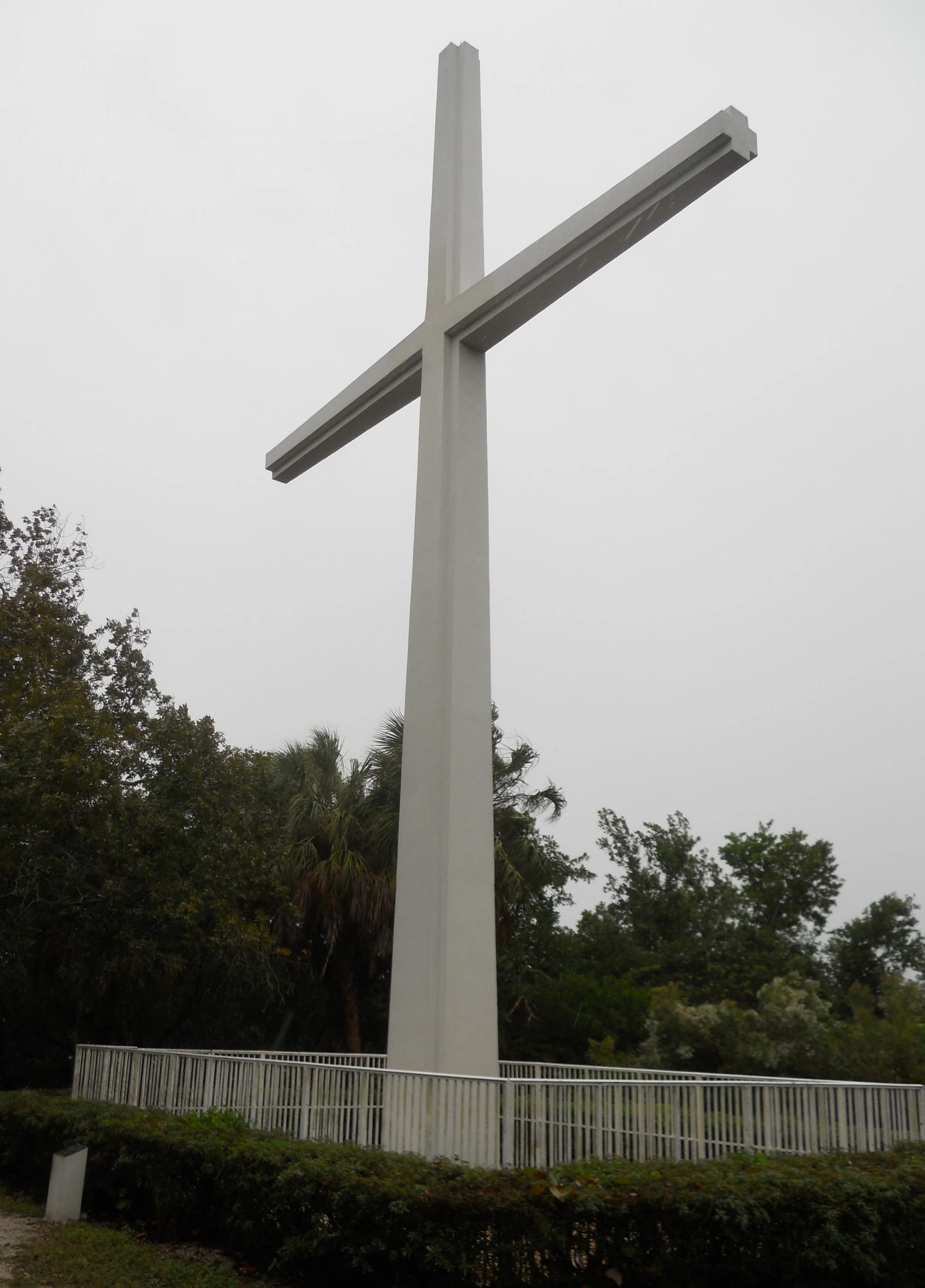
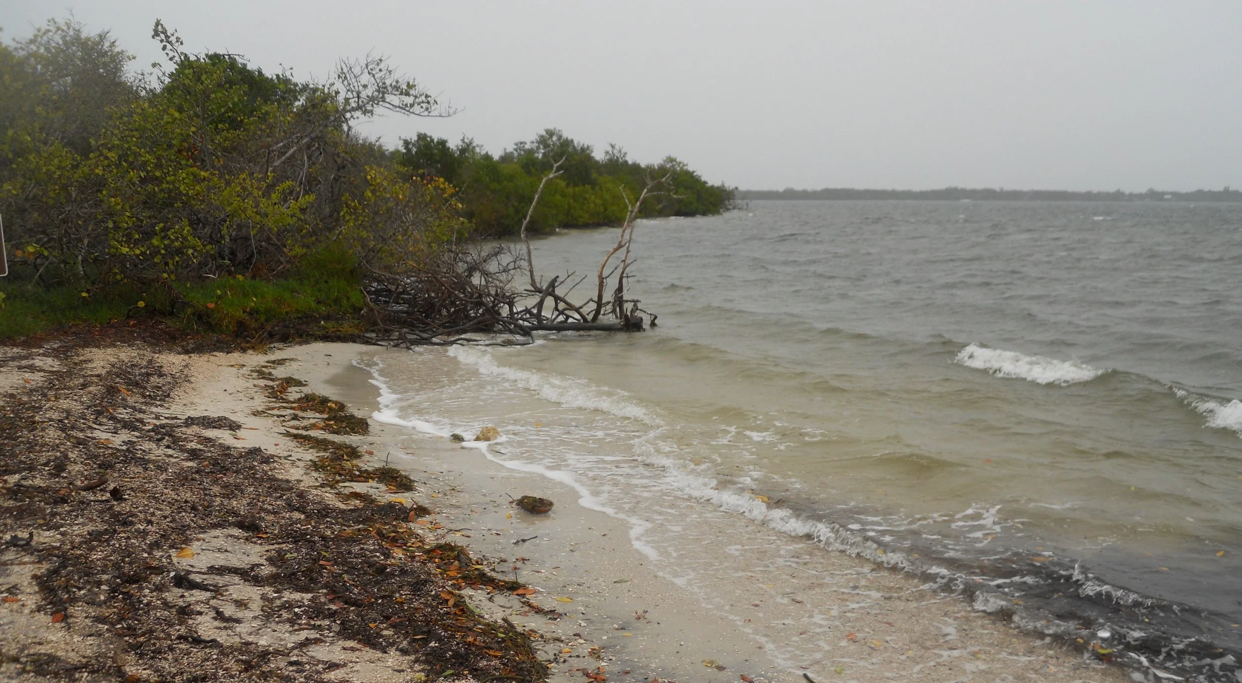
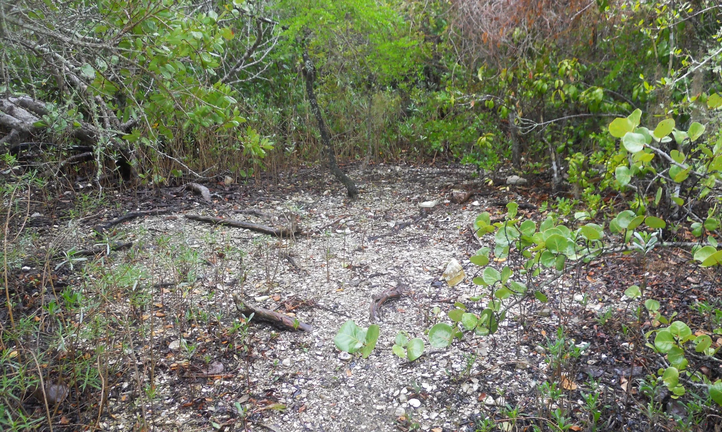
Arriving at DeSoto NMem I was met with a surprise. Tom and Pam had driven down from the Tampa area. They are NPTC members. This park commemorates the spot where Conquistador Hernando de Soto landed in 1539 with soldiers, clergy, and craftsmen. The search for gold began the colonization process of this New World. A large cross was raised to honor the 12 priests who came on the expedition and the native inhabitants. The shore trail passes a “shell midden”, or garbage pile, used by those inhabitants, who were here 2,000 years before DeSoto.
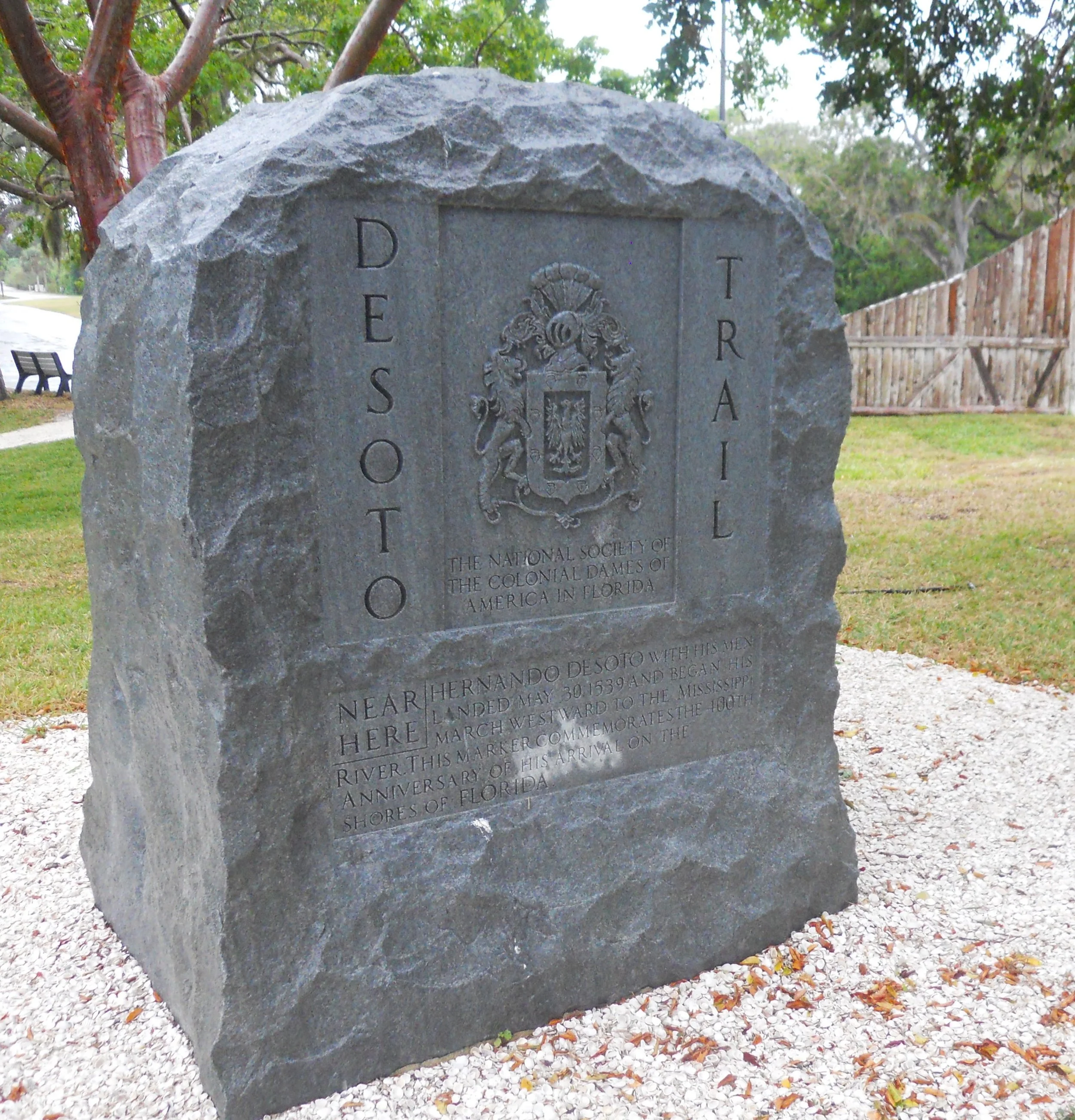
The DeSoto Trail granite monument was erected in 1939, by the National Society of Colonial Dames of America, on the 400th anniversary of the landing.
The reason this National Park has a National Memorial designation is that the exact location of DeSoto’s landing is probably out in the bay, under water. Experts know he landed in Tampa Bay along the Manatee River in this spot, based on documented descriptions. But Nature has a way of moving things around over 480 years.
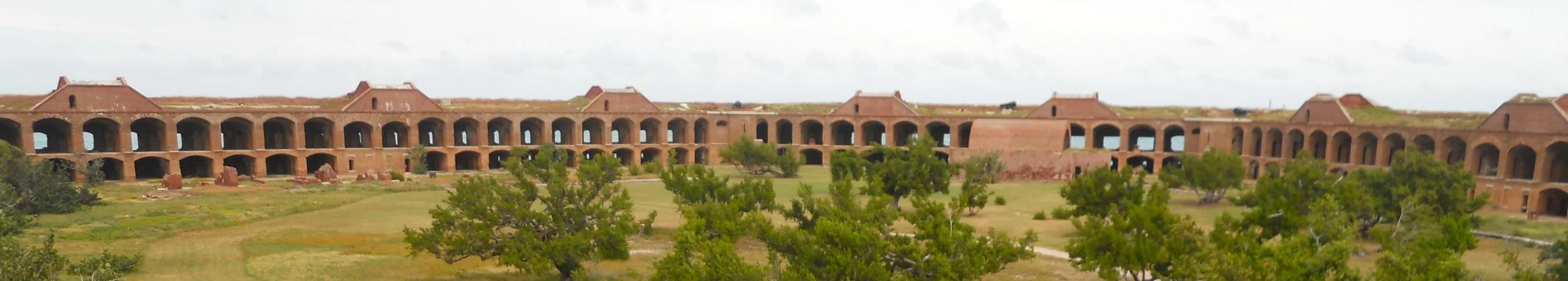
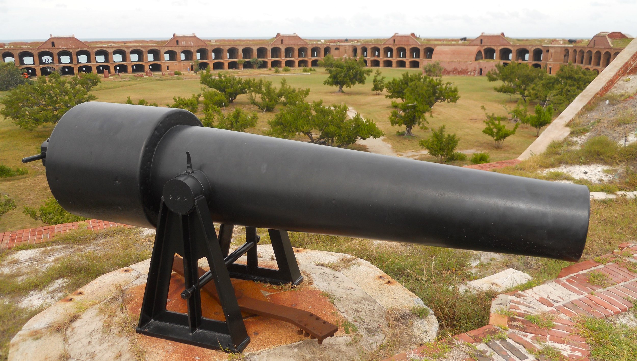
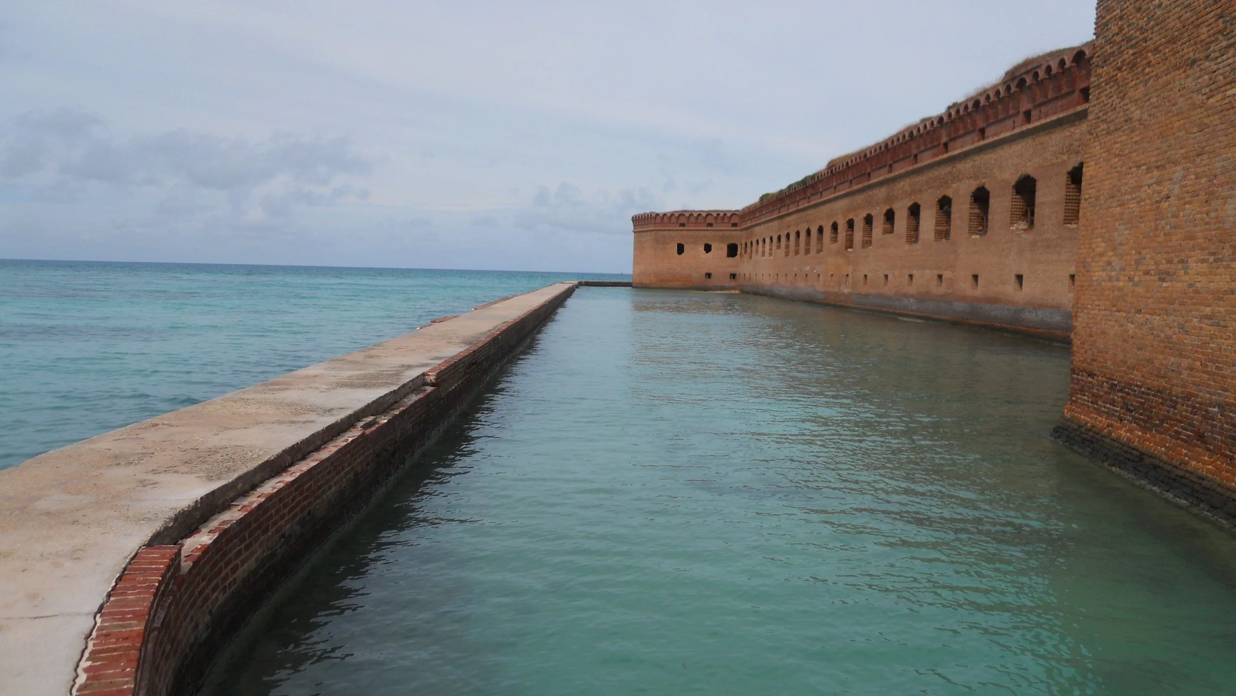
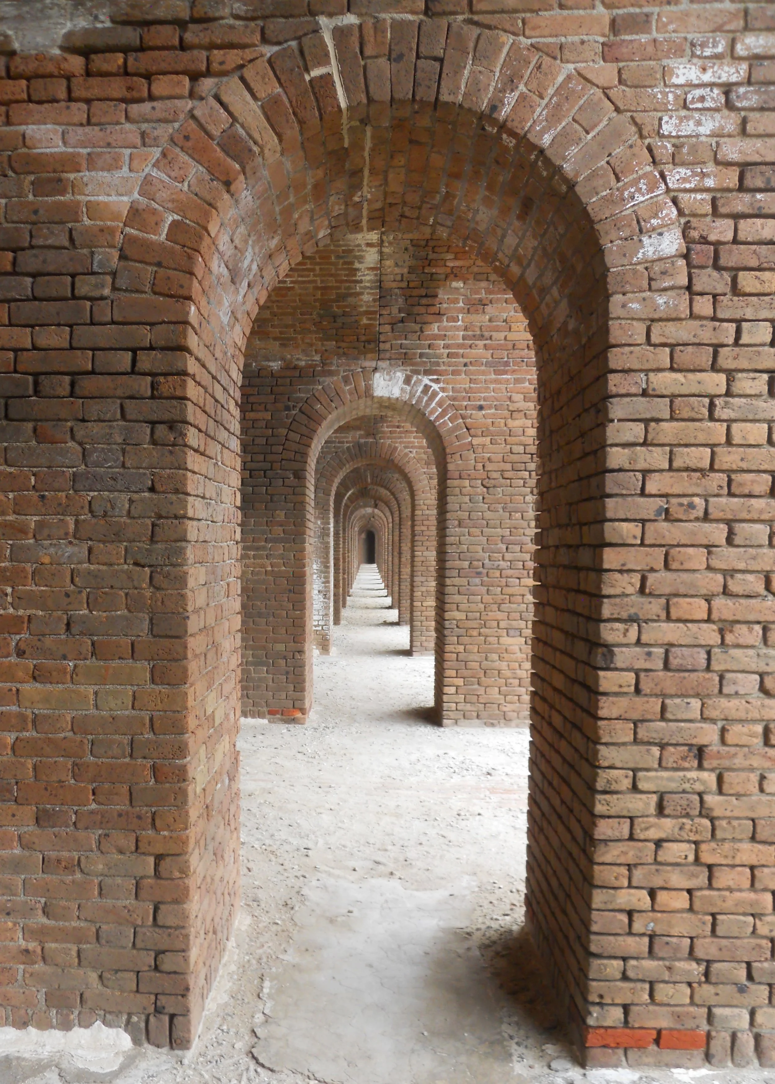
DAY 8 (November 14) - Dry Tortugas NP was today’s objective. The Yankee Freedom III ferried 175 people to Fort Jefferson, the largest masonry fort in the world. The ferry takes 2.75 hours each way. But what a sight as you approach the dock. The fort had over 400 guns, with 125 of them being able to target any specific ship simultaneously. How is that for “firepower”? On the top tier were some 300-pounder Parrott guns, this one being cast at the West Point Foundry in 1864. A moat surrounds the perimeter of the fort.
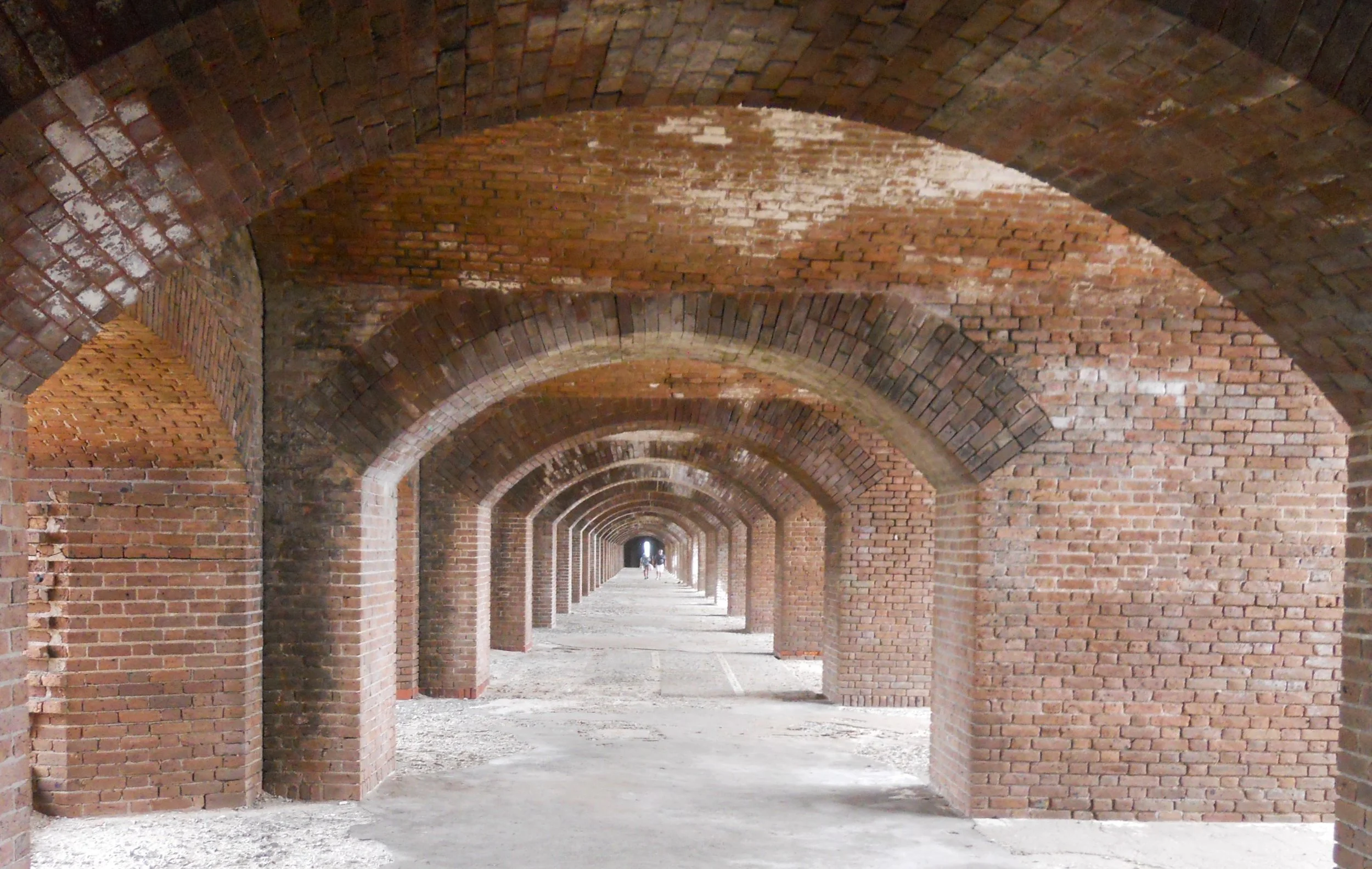
The symmetry is so good on the sides of the fort that one can have fun with a couple of photos. The one on the far right is of the “communications tunnel”… soldiers could transfer orders to the guys at the other guns near them.
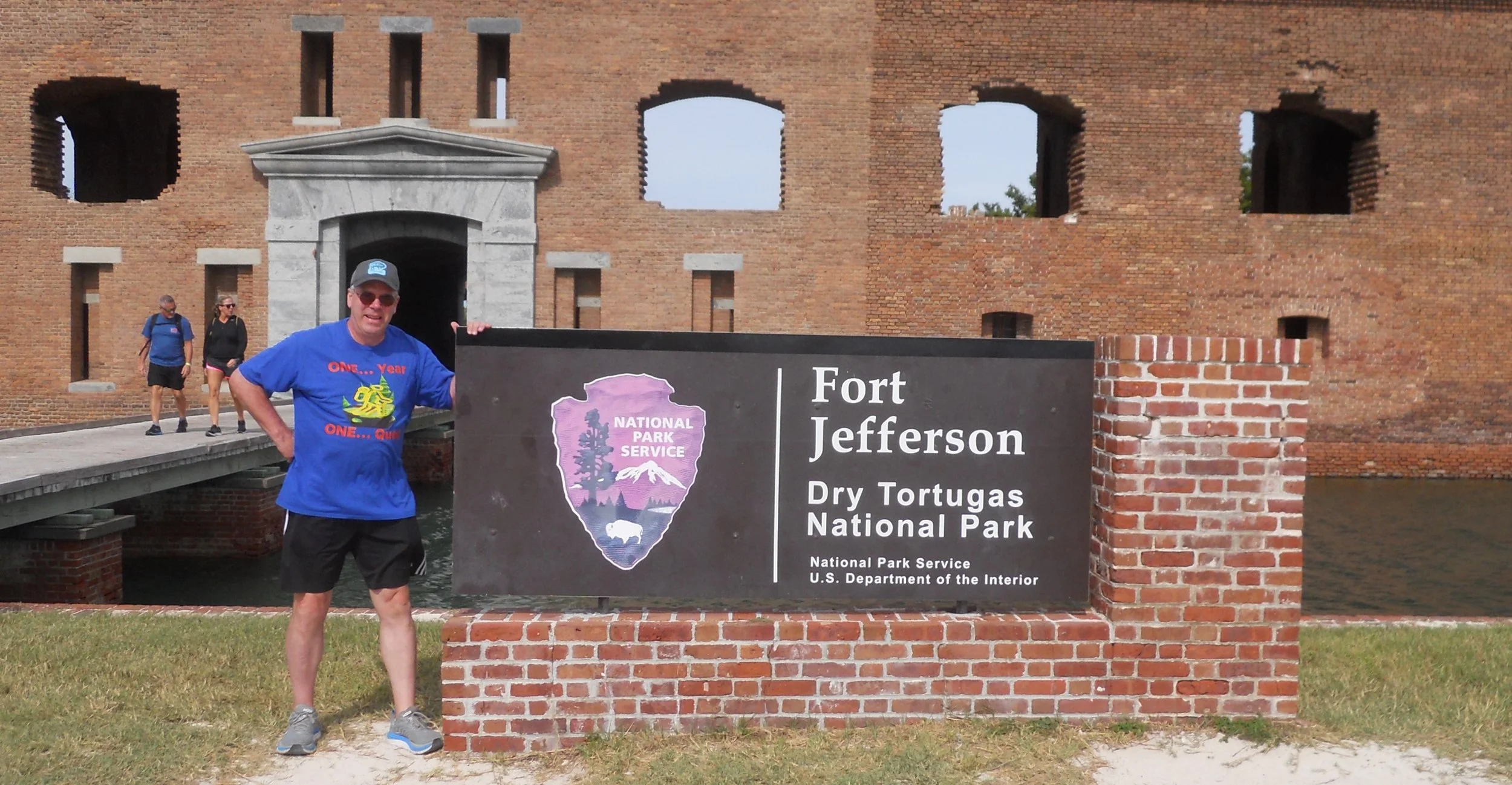
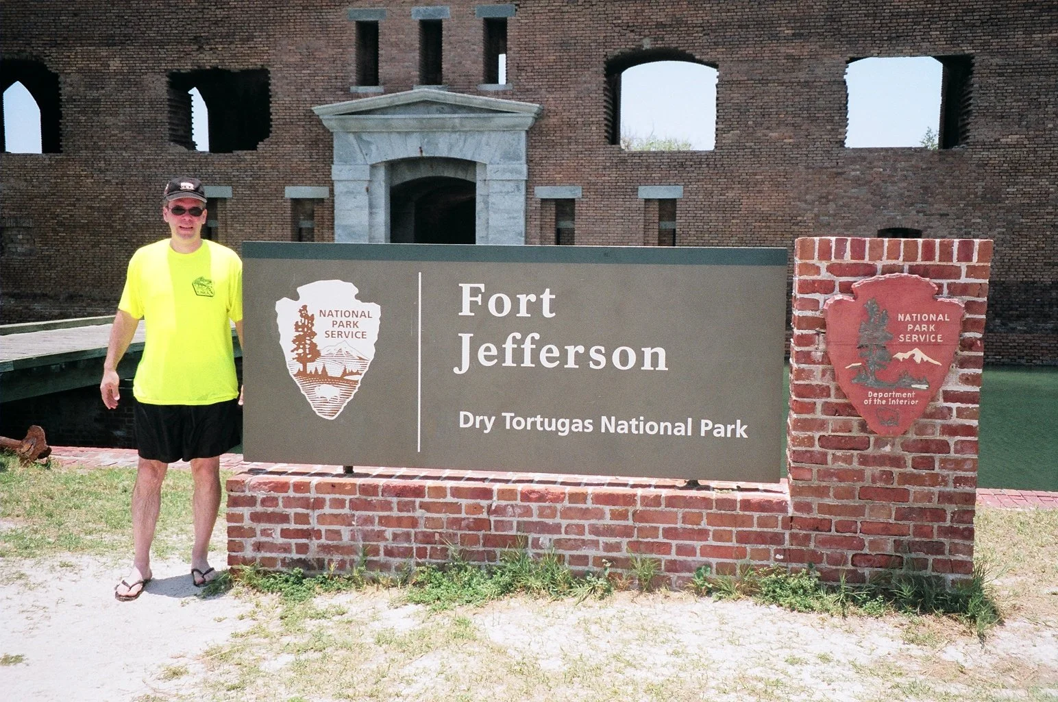
The last two photos are of me at the entrance sign in 2023 and 2009, respectively. Looks like the NPS has changed the sign (any votes as to which everyone prefers?). But the fort itself has not changed much.
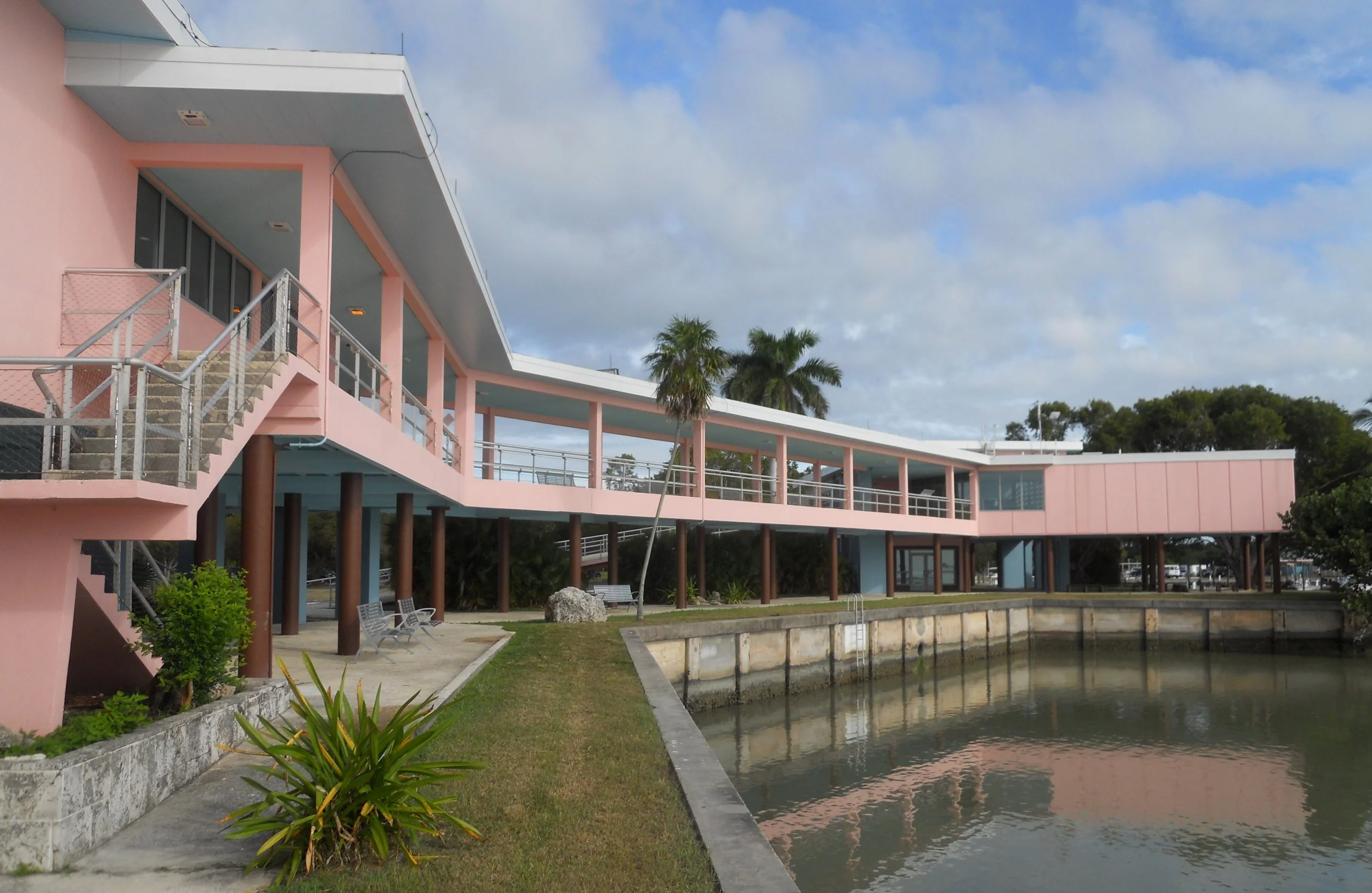
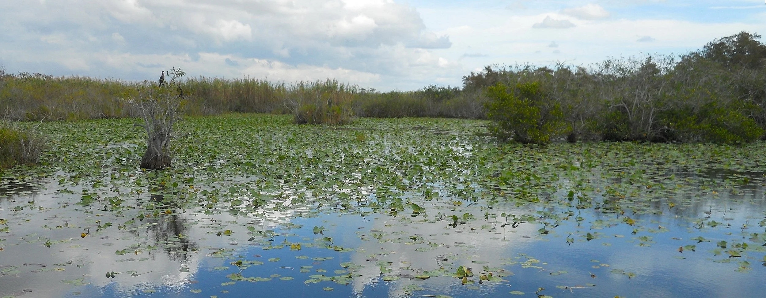
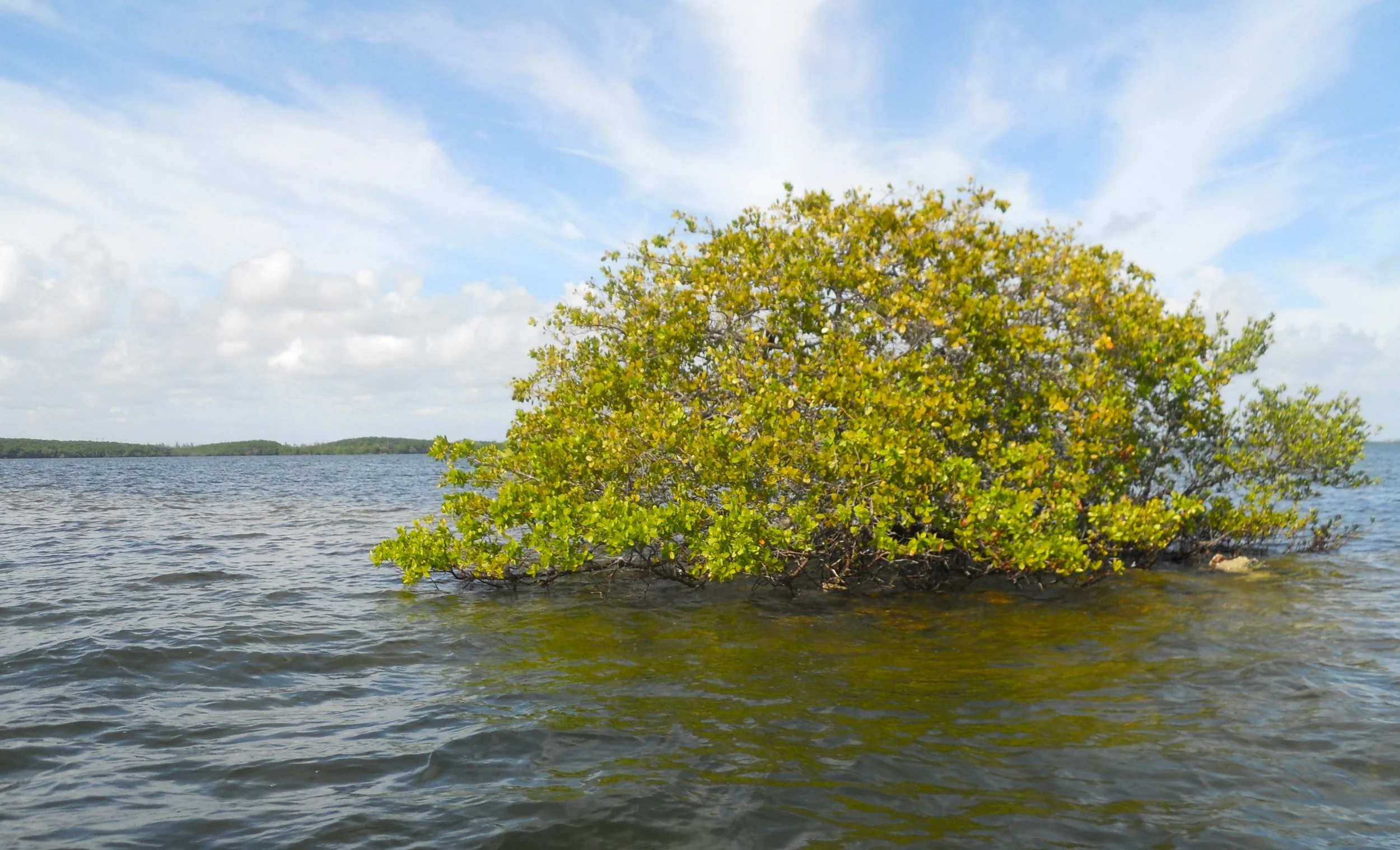
DAY 7 (November 13) - This morning was a reentry to Everglades NP. I stopped at the pink colored VC in Flamingo, which is at the end of the main park road. Along the way is a surreal world of sawgrass and reptiles.
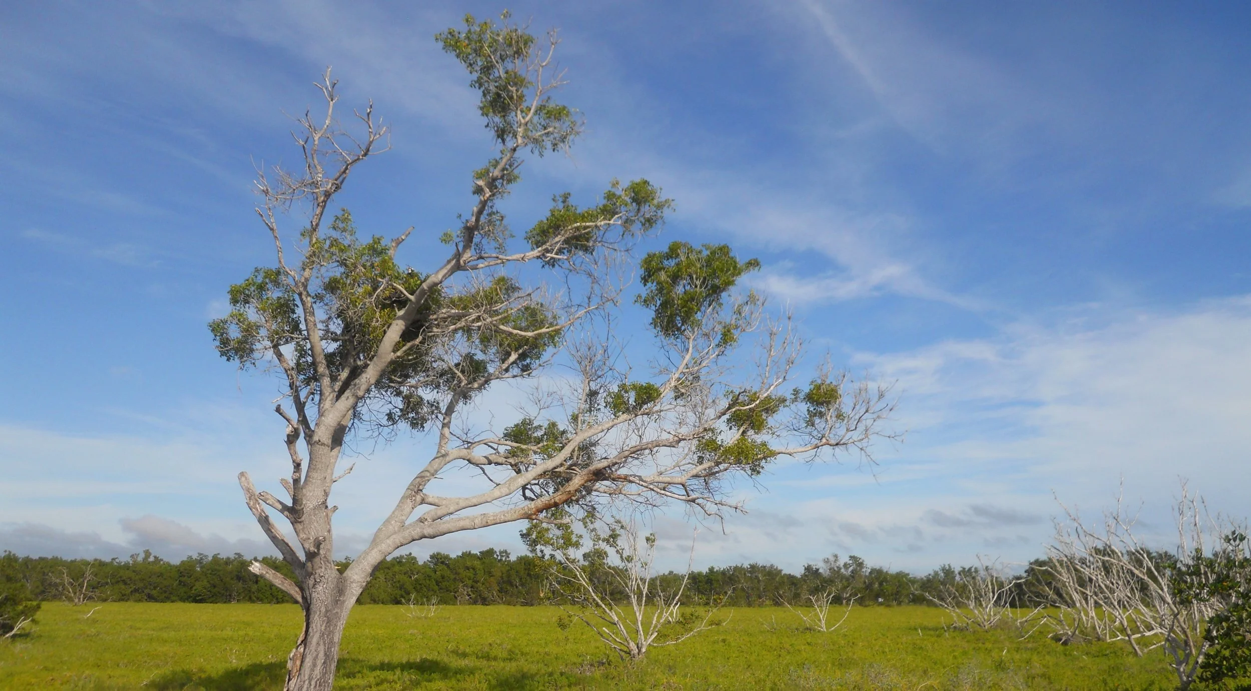
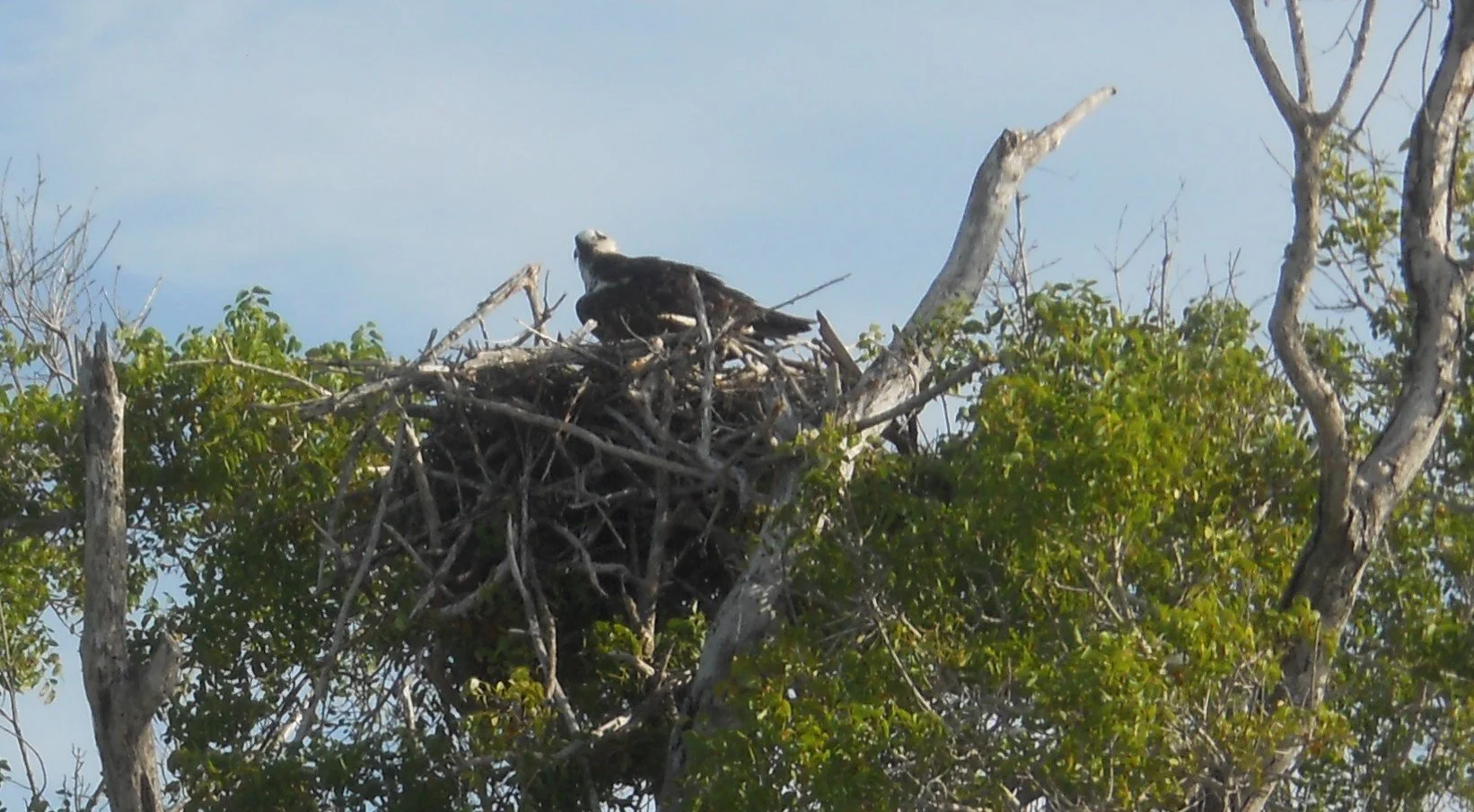
At the campground near the VC was a lone tree, being used as Federal housing for an Osprey family.
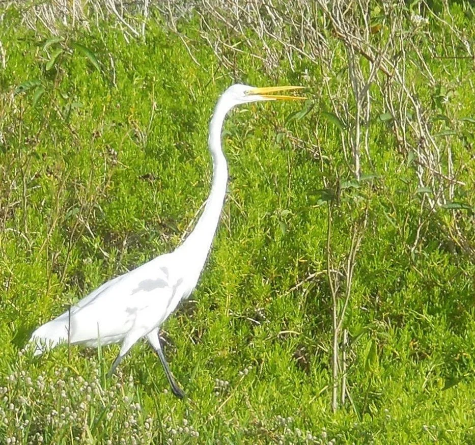
Plenty of Great Egrets were on ground-level. This one had just swallowed a fish.
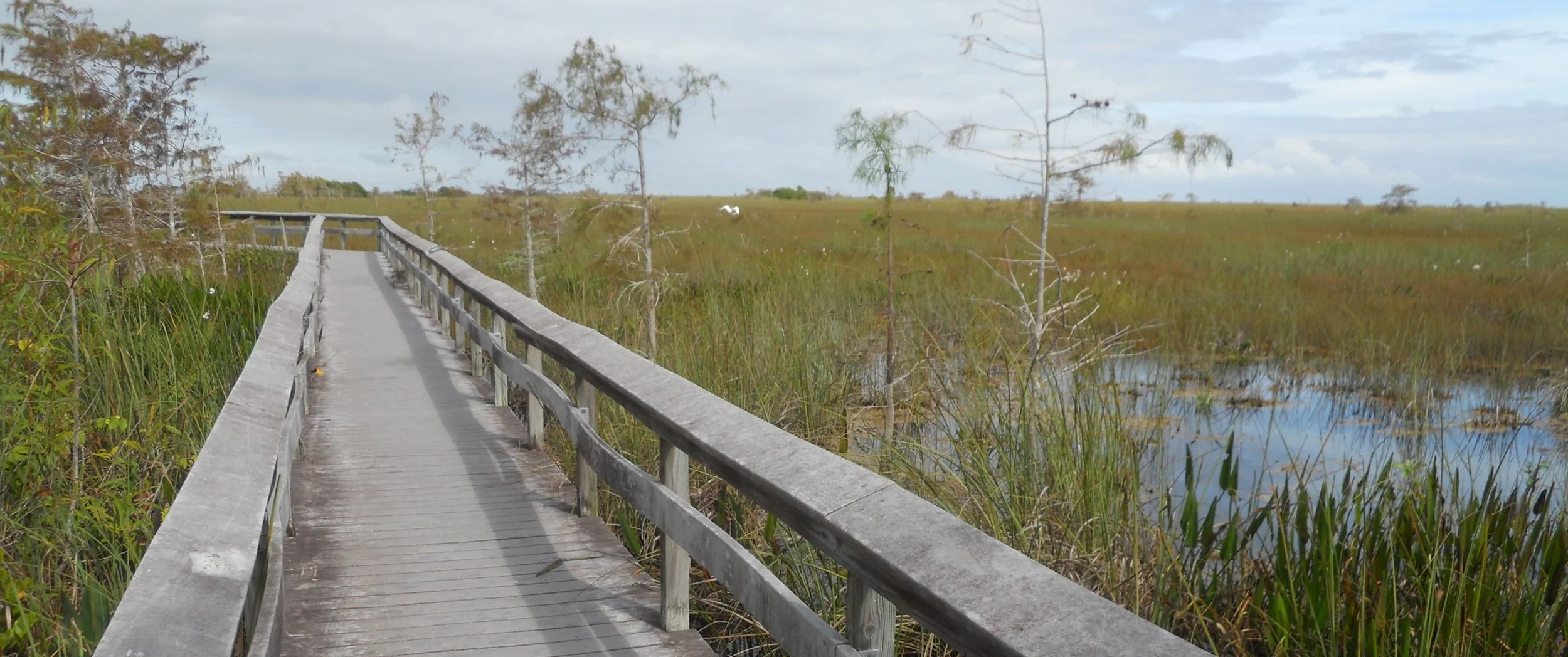
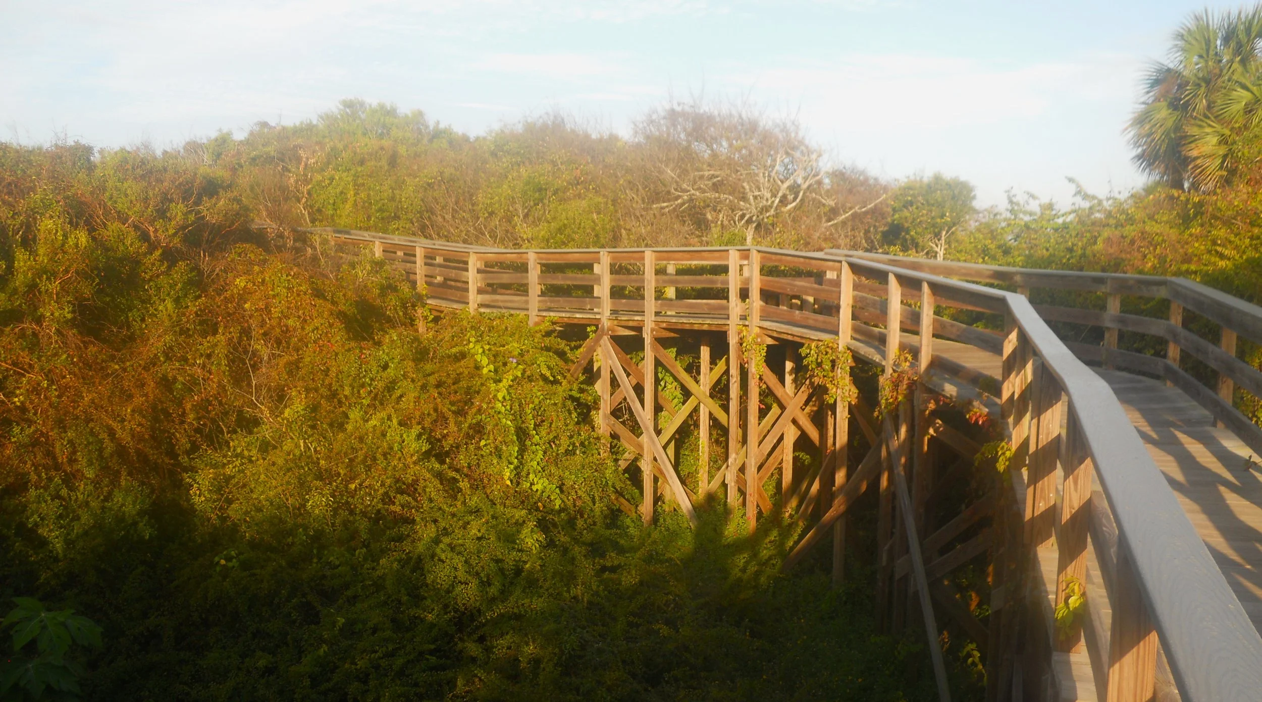
A raised boardwalk at the Pa-hay-okee Trail allows one to get a view of the surface of Shark River Slough, which slowly moves through this area towards the Gulf of Mexico in its 8-mile width.
The Anhinga Trail goes out of the Royal Palms area. It is also a raised boardwalk. As a ranger said to a group of visitors, which I was passing. alligators like to take a break under the edges of the boardwalk. So, good thing a tourist is not at ground level in this area. There were some Anhinga birds along the trail (two are in the photo on the top of the tree to left-center in the water).

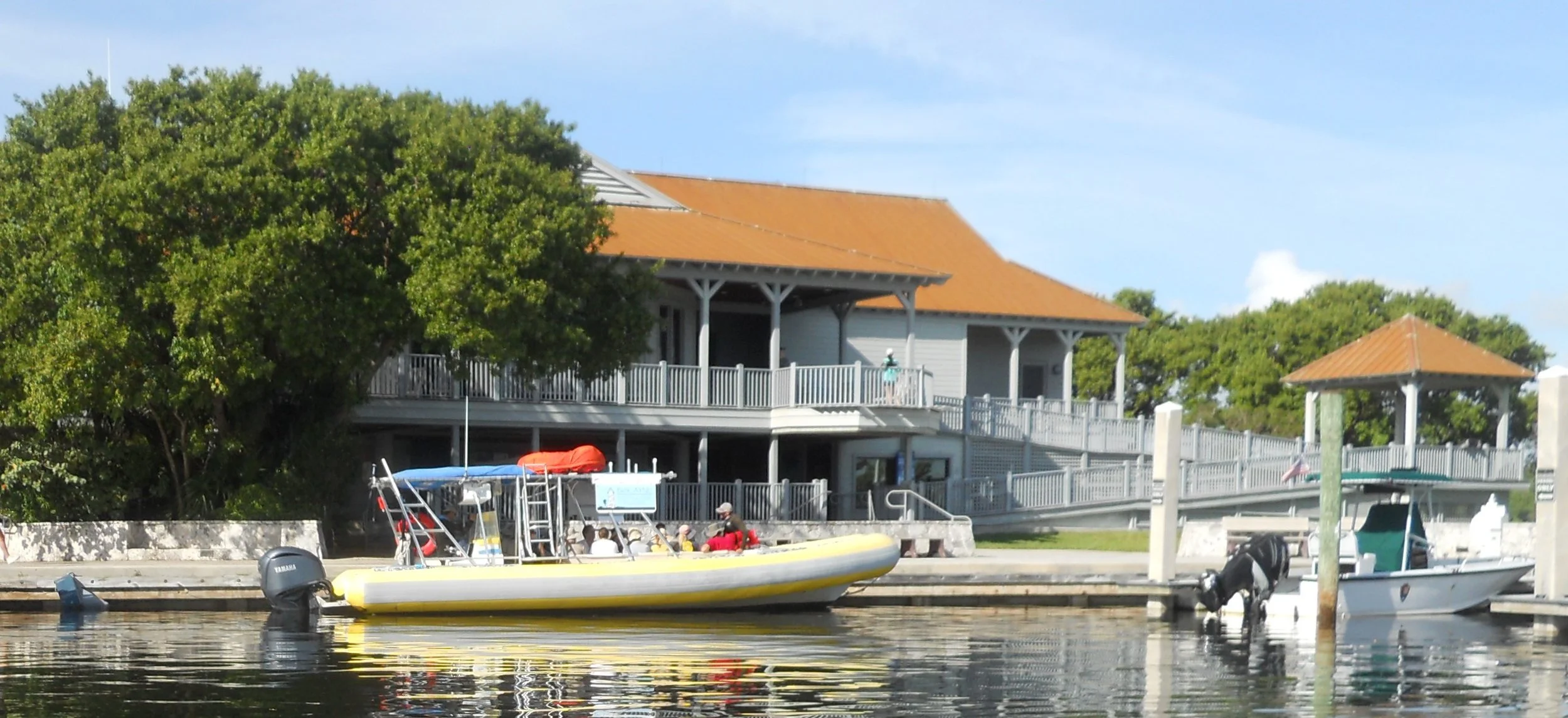
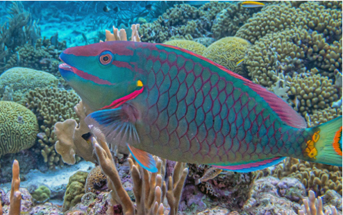
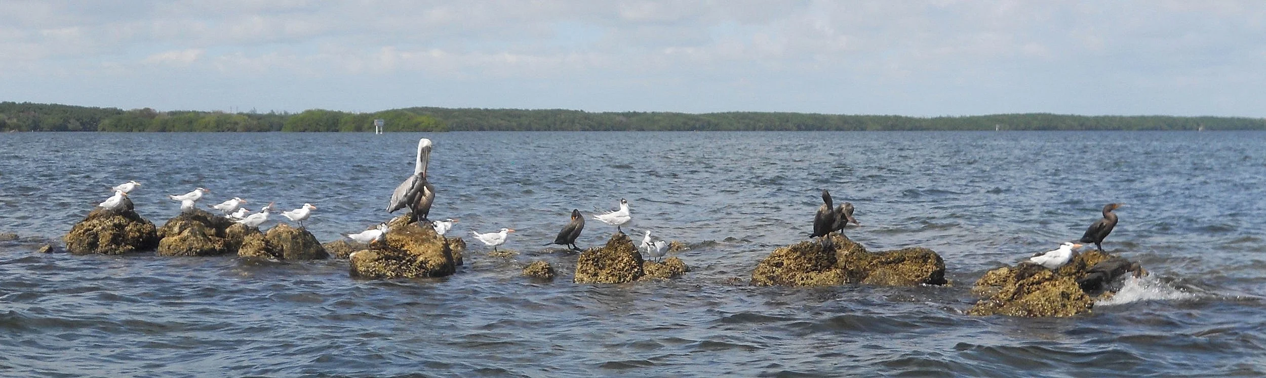
DAY 6 (November 12) - Biscayne NP is 95% water-surface area. Therefore, get out into or onto the water; diving, boating, paddle-boarding, snorkeling, etc. I took a snorkeling tour with the park’s official concessionaire. Most trips (kayak, snorkel, etc.) leave from the Dante Fascell VC (photo). A 10-mile highspeed ride put us at Elliott Key, an 8-mile long island, the park’s main barrier from the ocean. The first fish I met was a one-foot wide Moon Jellyfish. He was gigantic. Then there were more Great Barracudas than you could count. Dave and Juan, the boat operators, said the bay side of Elliott Key is basically a nursery. All of these keys were no more than a foot or so long. Not until I was getting ready to board the foot after the first snorkel did I see one that was easily 3-feet long. Plenty of Stripped Grunts, easily recognized by their yellow and blue colored body streaks. The most colorful species was the Rainbow Parrotfish. The lips are translucent blue. Maybe my favorite was the Scrawled Cowfish, because of the two horns on the front of his head.
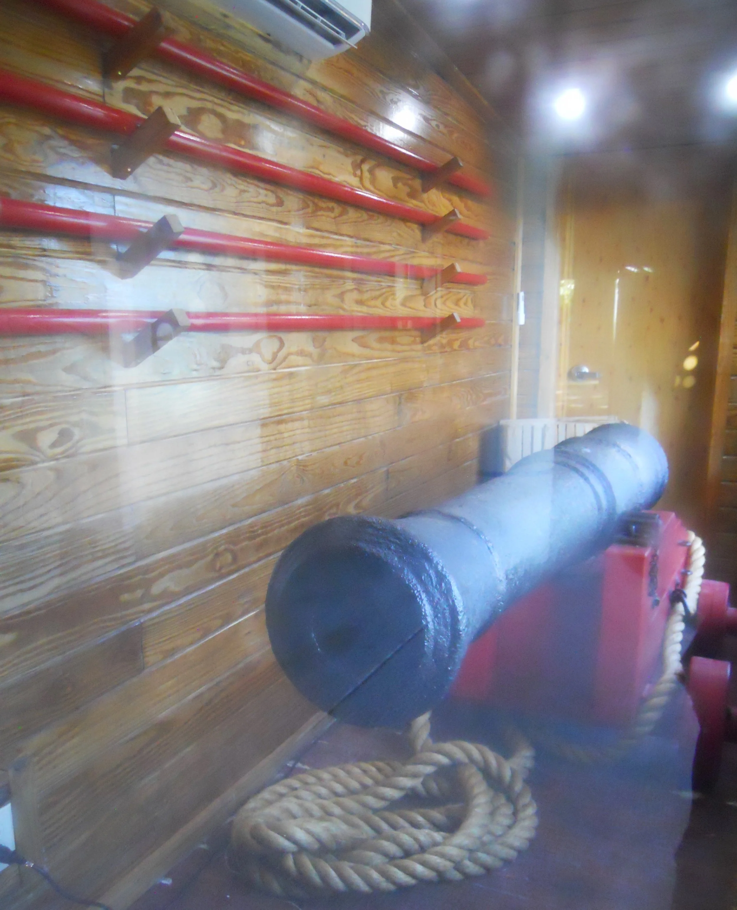
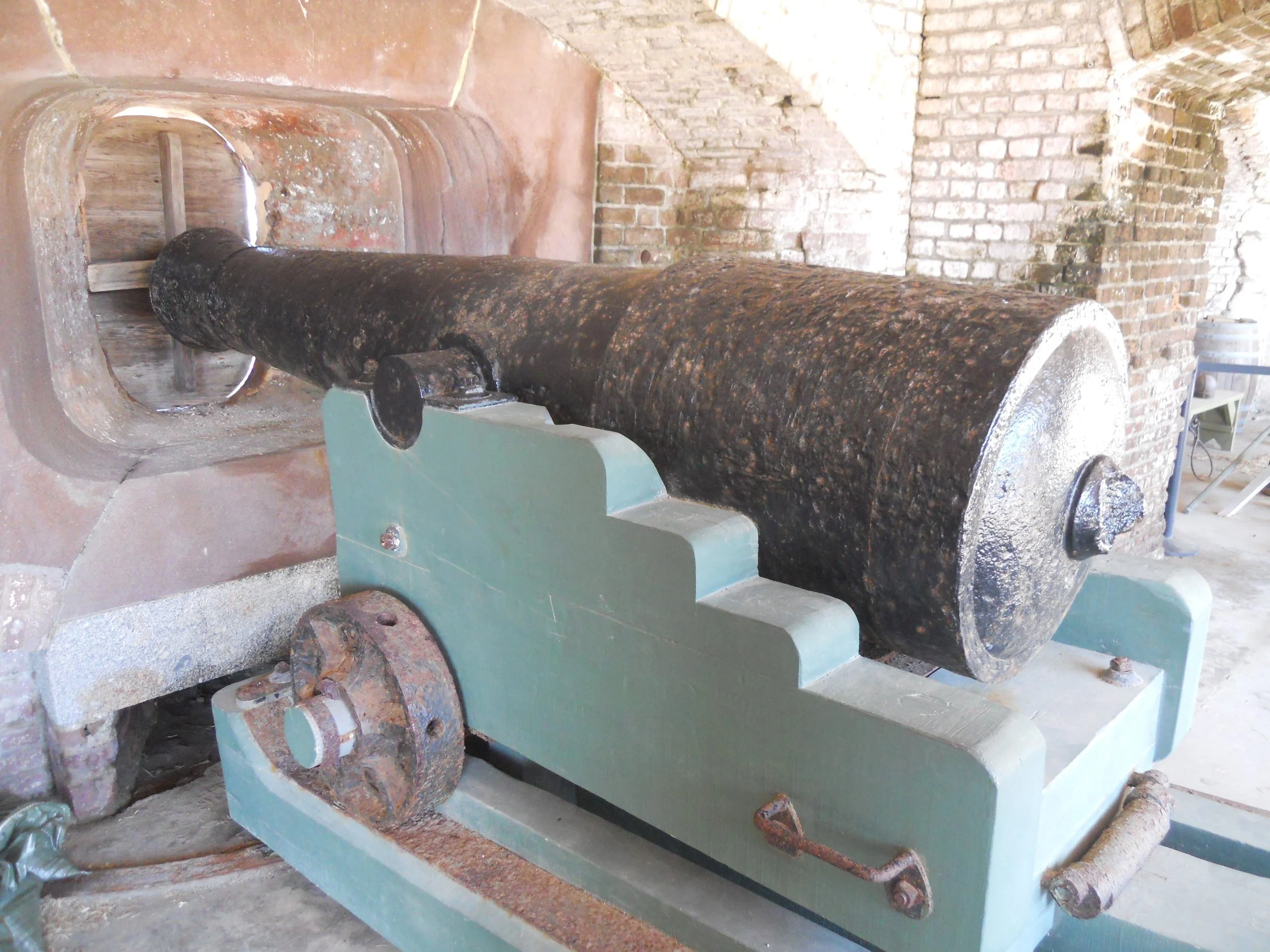
The British warship HMS Fowey sank 13 miles east of the VC, in 1748, when it hit a shallow reef, in what is now Biscayne NP. Dive teams recovered this one iron cannon in 1983 (there had been 44 on the ship). It now sits in an environmentally controlled room at the VC.
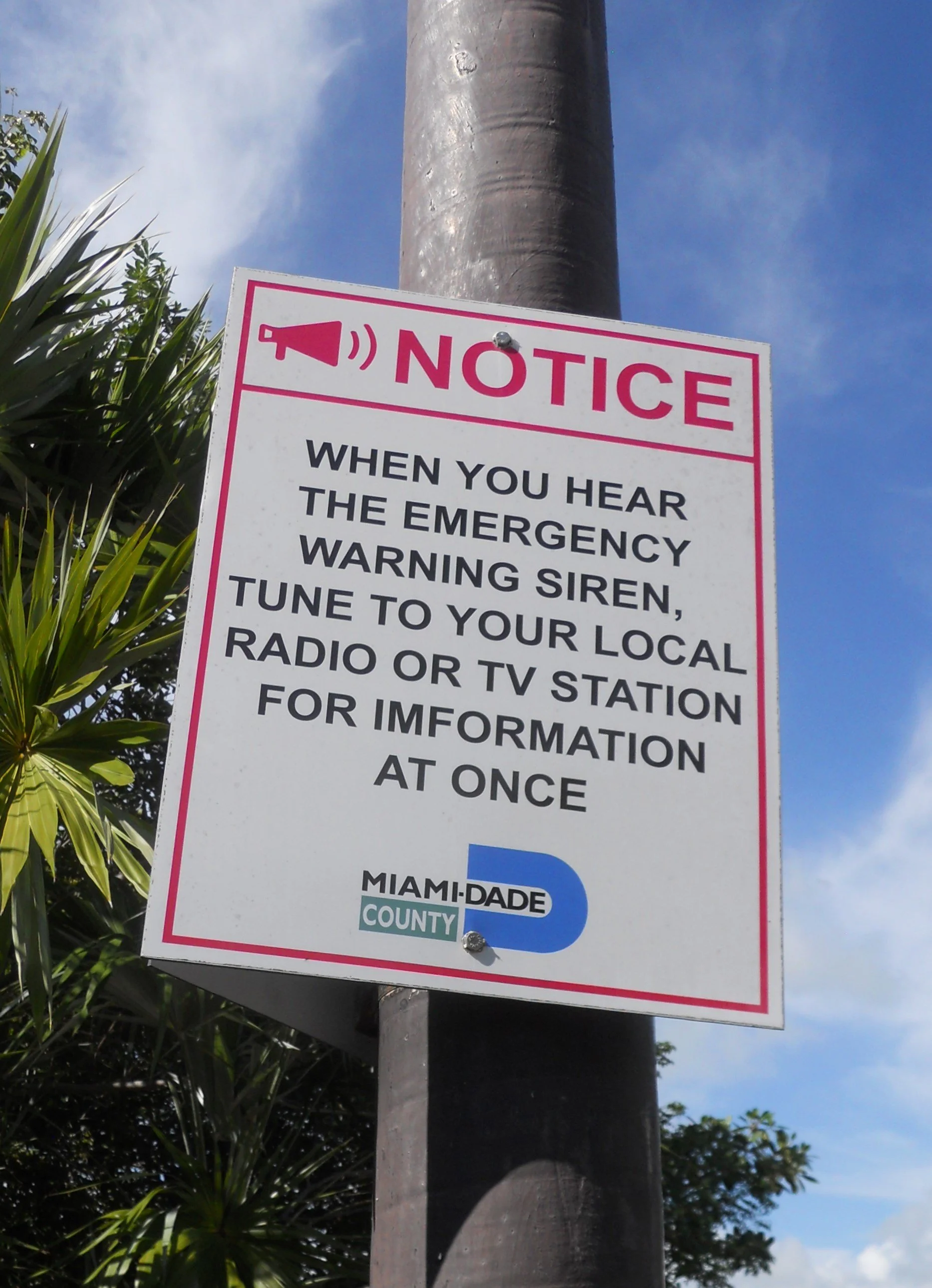
As with all of us, the NPS does not get everything right 100% of the time, including the English language. They do a very good job, but at times a slip up is found, such as on this sign in the VC parking lot. Hurricane Andrew came through this area in 1992, the most destructive storm on record in South Florida, with a recording of 16.9-feet surge at the VC. Hopefully, if another storm hits while forks are at the VC, they will listen for broadcast “information” instead of “imformation”.


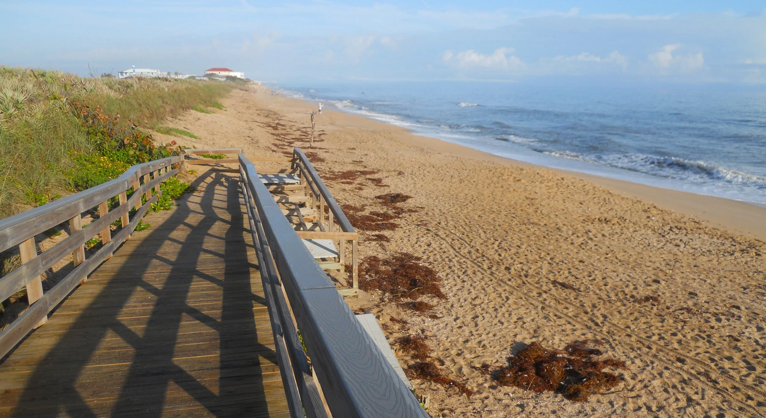
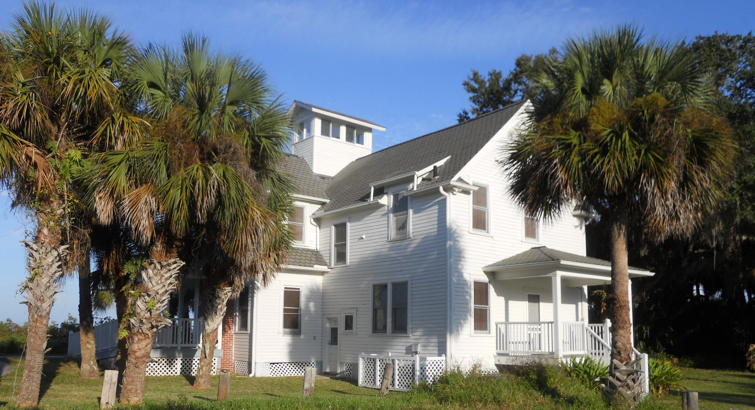
DAY 5 (November 11) - First, hats off to all the men and women who have served in America’s Armed Forces. Today is Veterans Day, every year on November 11. We should never forget our veterans. The sun came up today on the shores of Canaveral National Seashore, just like it does every day. This photo is at the Apollo Beach section of the park, where I have not previously visited. On the Indian River side of the park, Turtle Mound has an elevated boardwalk trail. The Eldora area has a short hike to the Eldora “State House”, built in 1913 to support the small village of Eldora. That village has now disappeared.
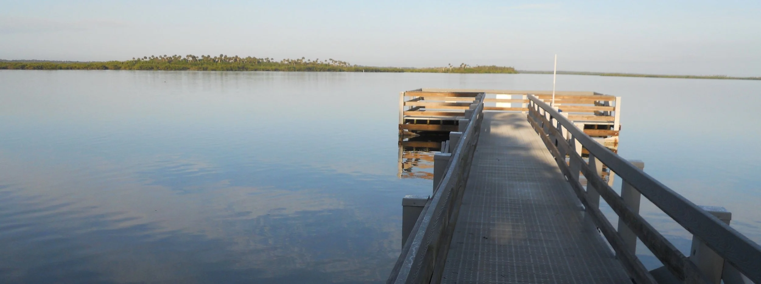
There were plenty of people fishing this morning, on the beach, on the river, everywhere… except this one pier which had a sign saying “no fishing”.
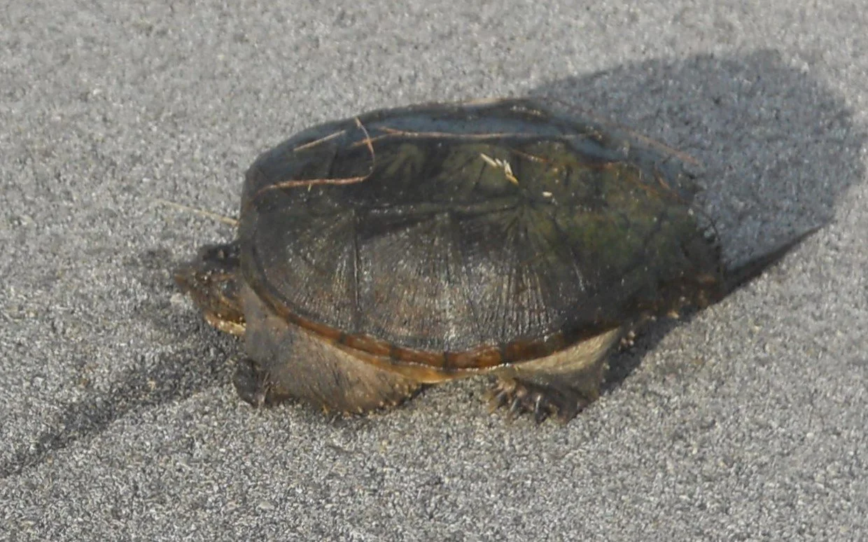
One guy, or gal, who was not fishing was this tortoise. I will leave it to reptile experts in the audience to say what species.
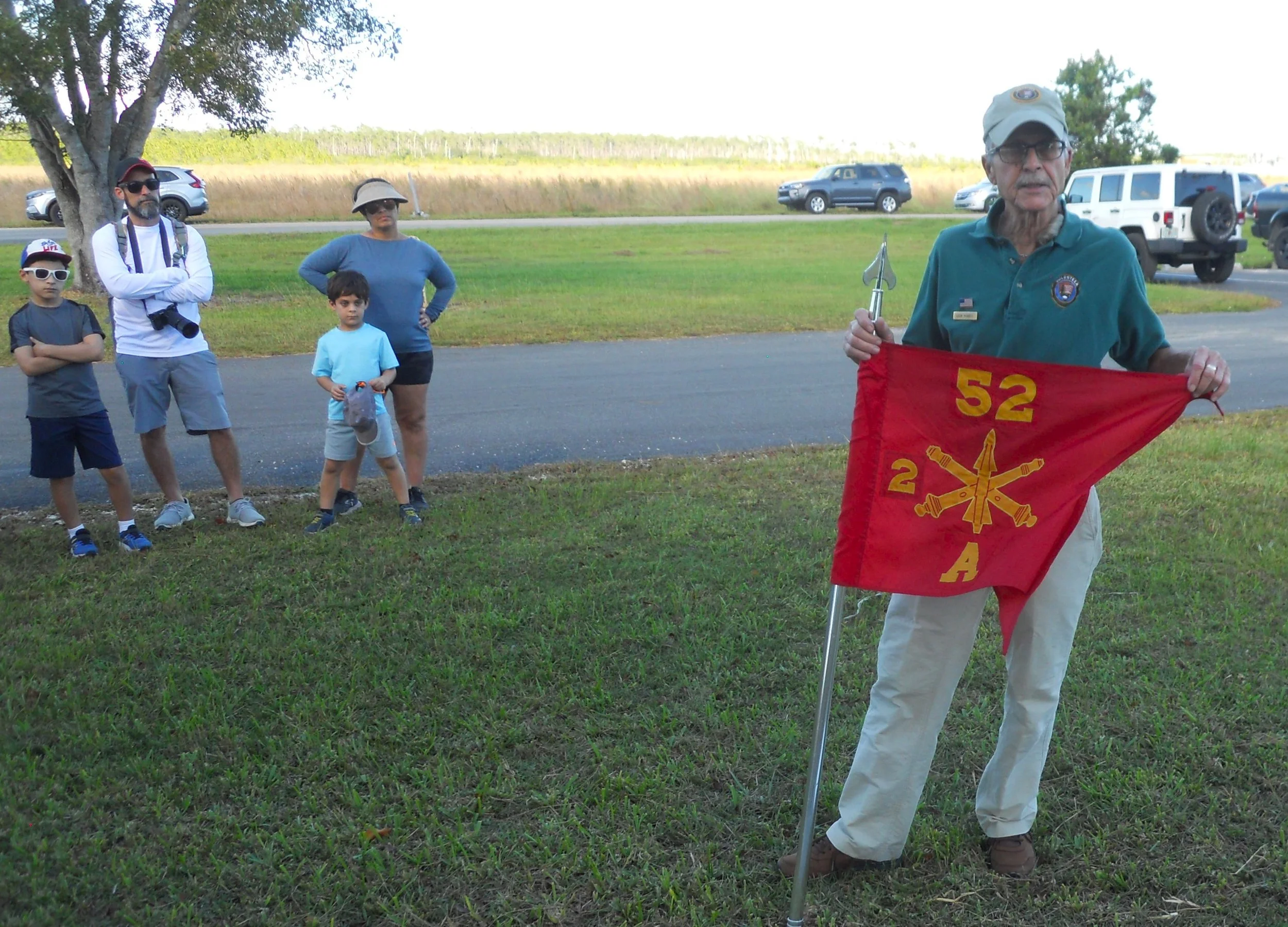
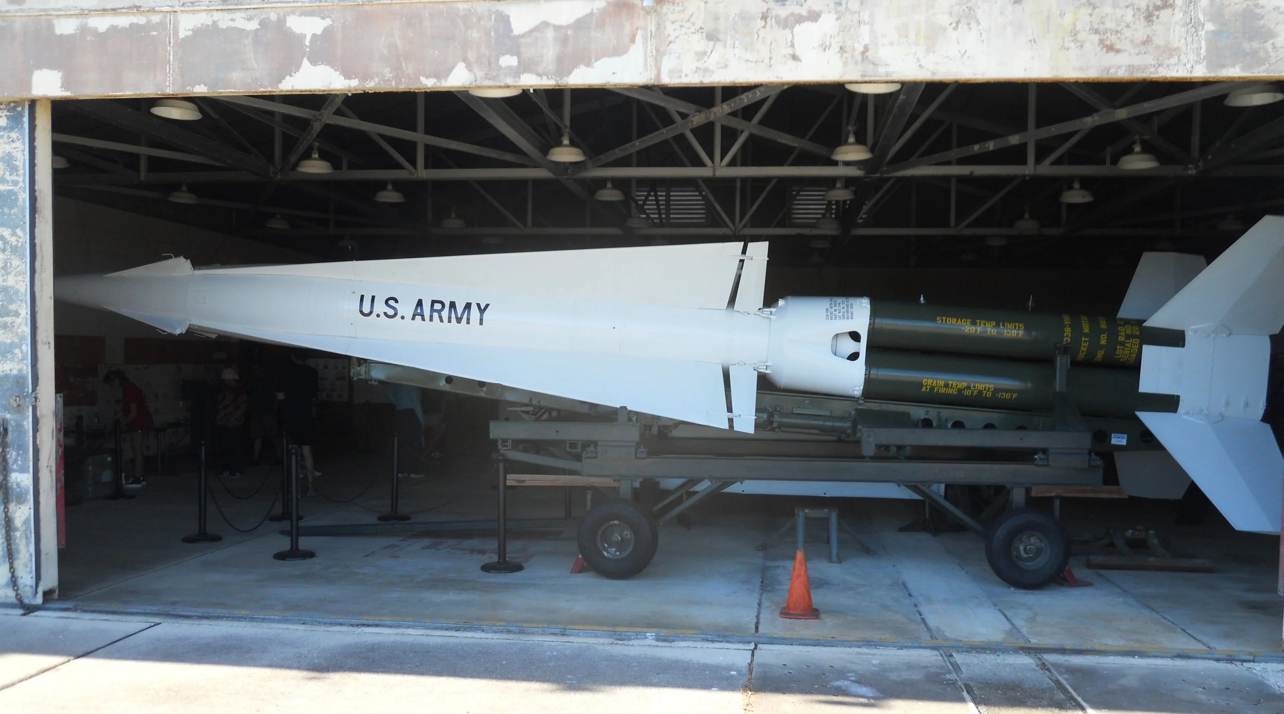
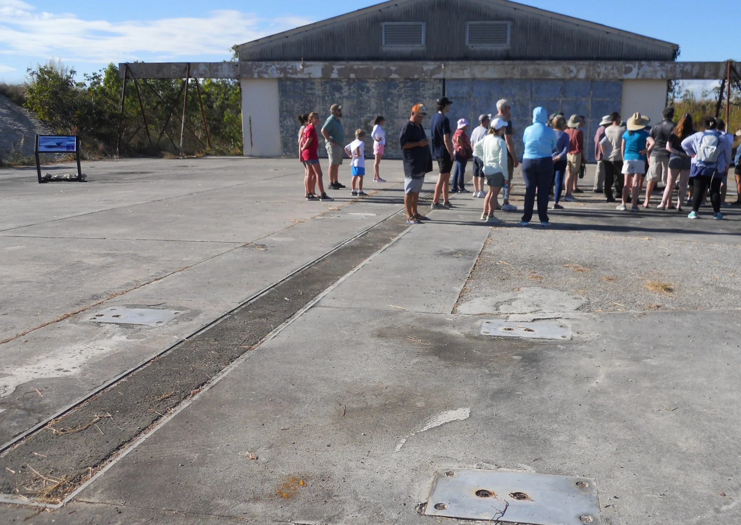
Next stop was Everglades NP, for the 2 PM ranger program of the Nike Missile Site. Volunteer Leon led the event. He served in the Coast Guard and reminded everyone about today’s significance. This was the location of Battery Alpha, 2nd Battalion, 52nd Air Defense Artillery. Four Nike missile sites were located in South Florida due to the Cold War events, with Cuba just 90 miles away from our coast. One of the “barns” is open to visit. The one photo shows the two parallel rails on which a missile would be brought out of the barn, and one of the launch pads. Then the door is opened for all to see a real Nike missile. This specific one was not based at Battery A, rather obtained years later.
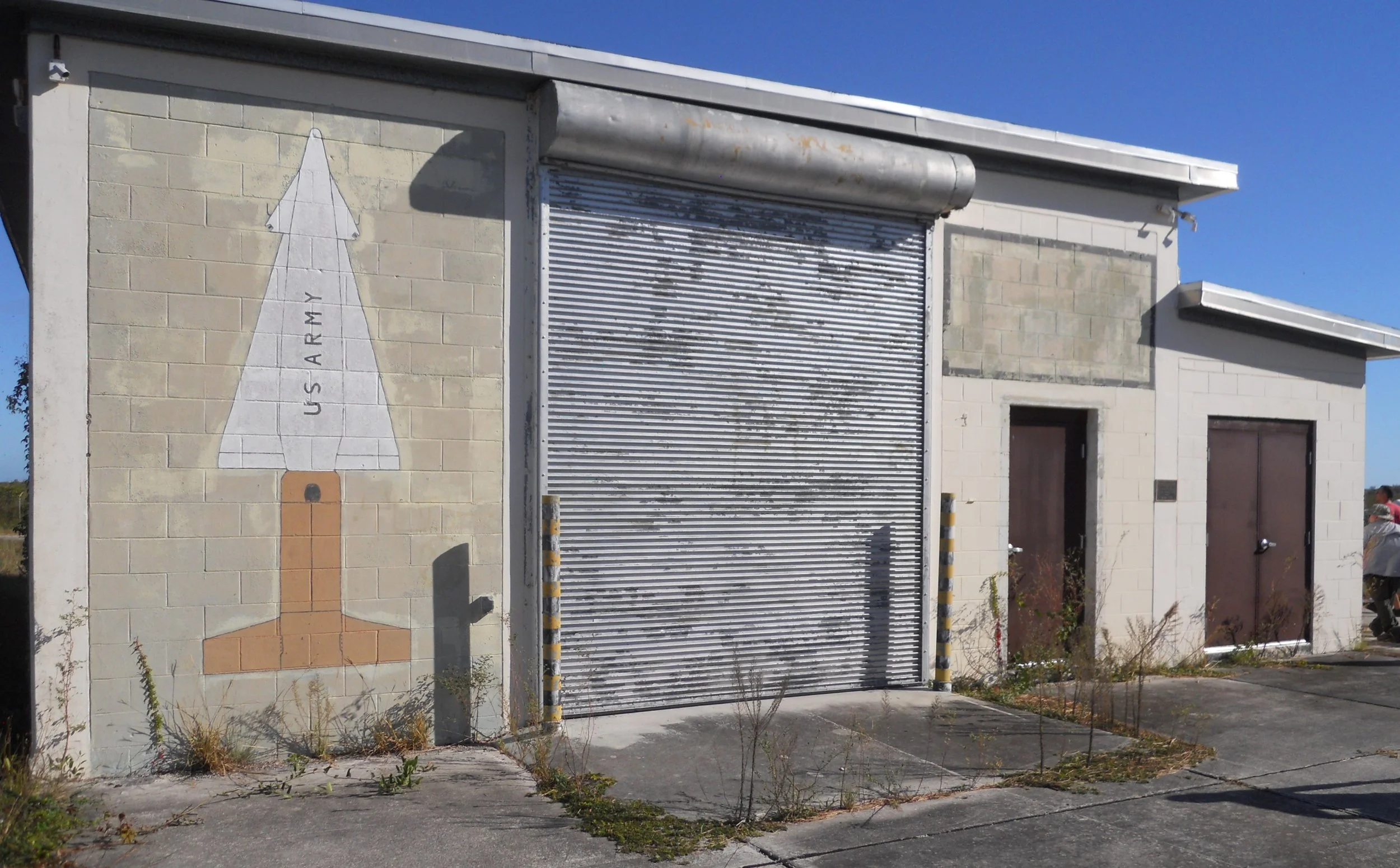
Before a missile could be stored in the building, it had to be assembled. That was the purpose of the one structure with a painted missile on its one exterior wall.
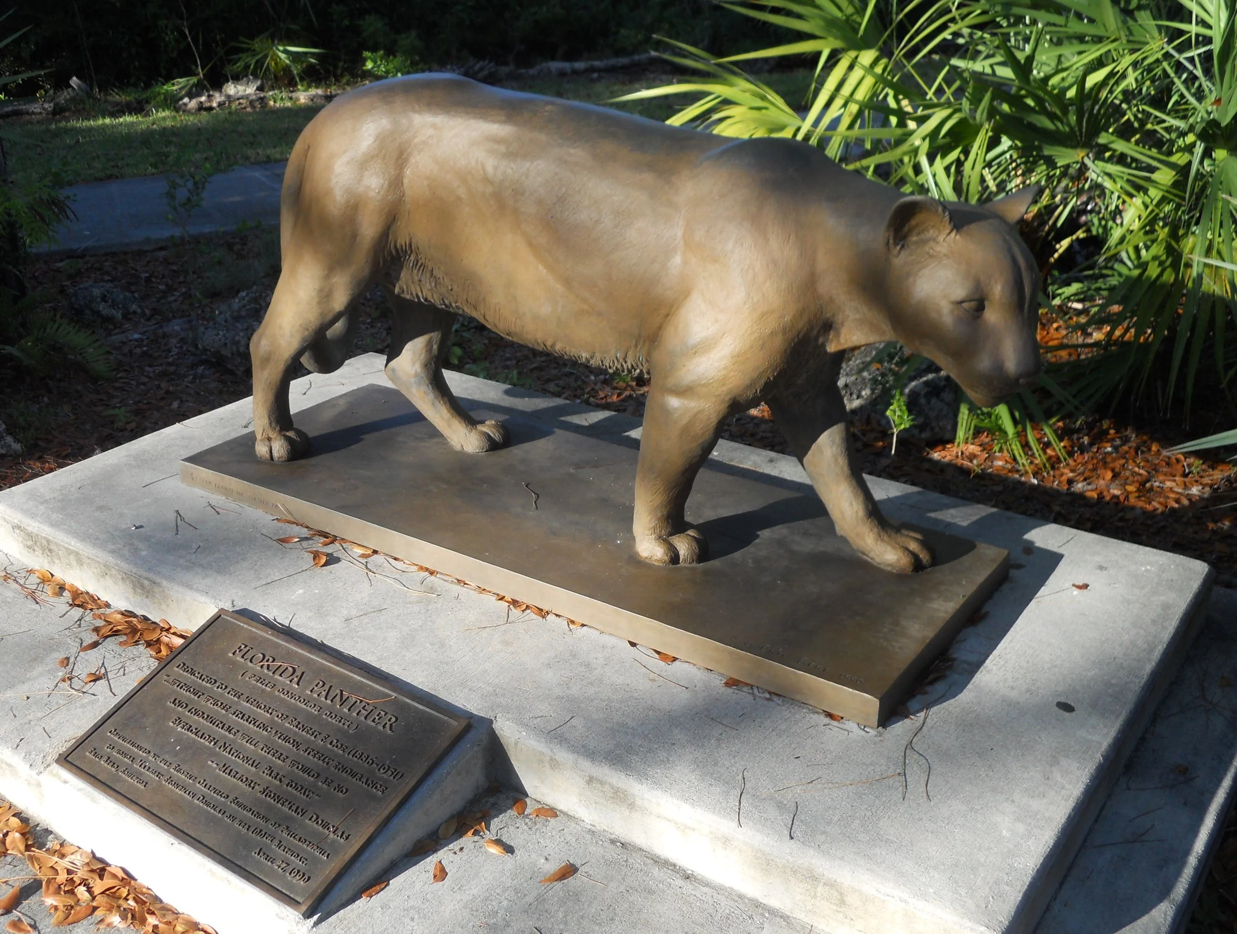
At the Coe VC, a statue of a Florida Panther is on display. About the rarest wildlife sighting to be had in the Everglades is with one of these magnificent animals (that is why I am showing the sculpture, and not a photo of a real one).

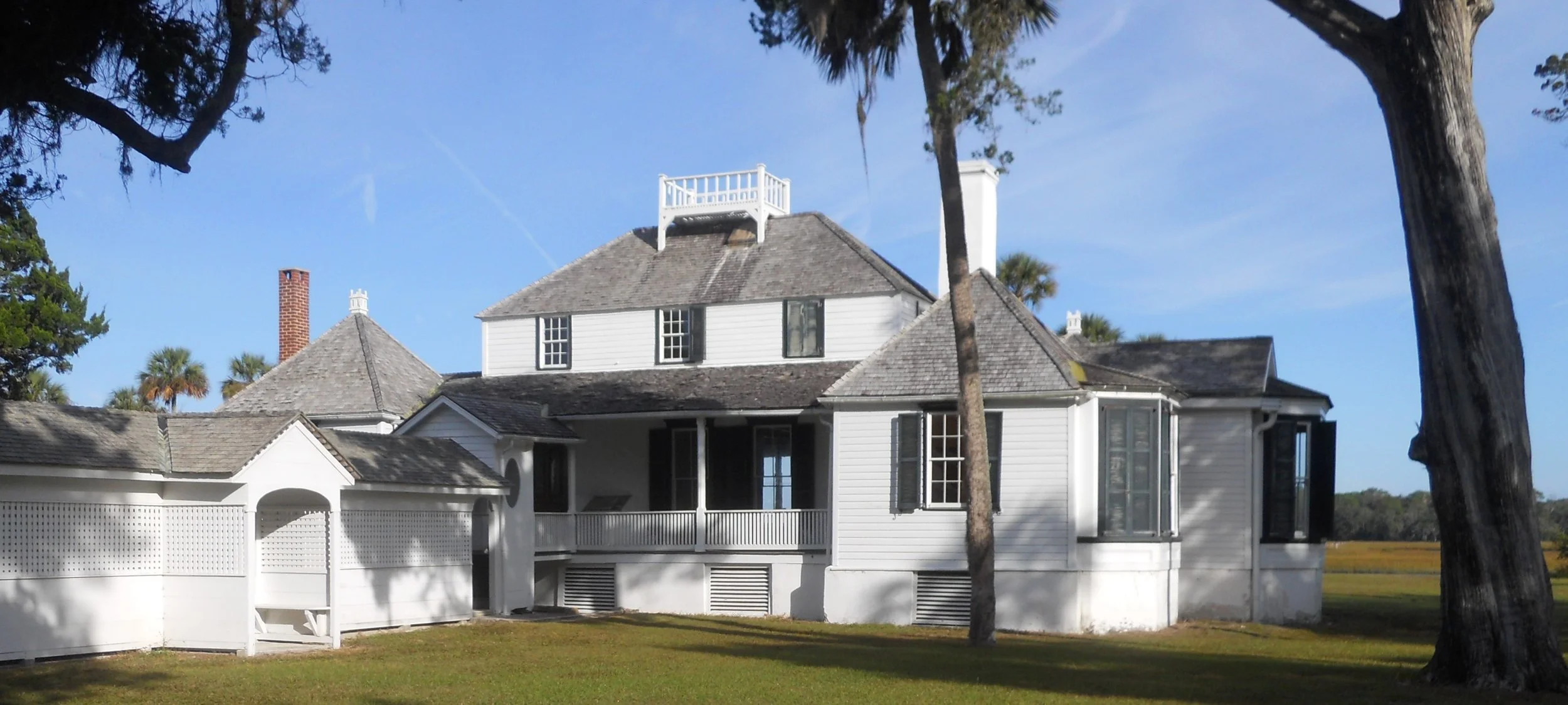
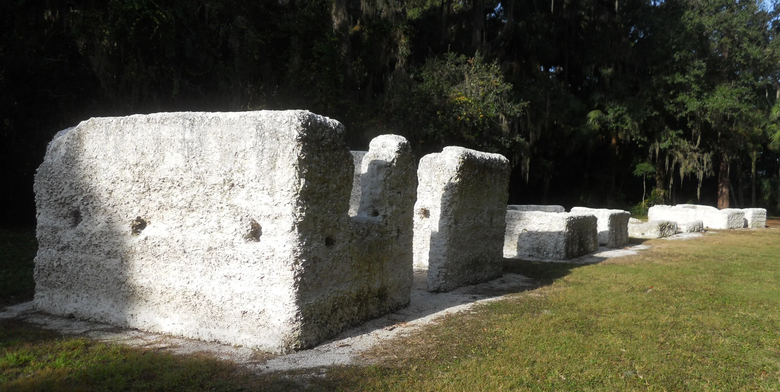
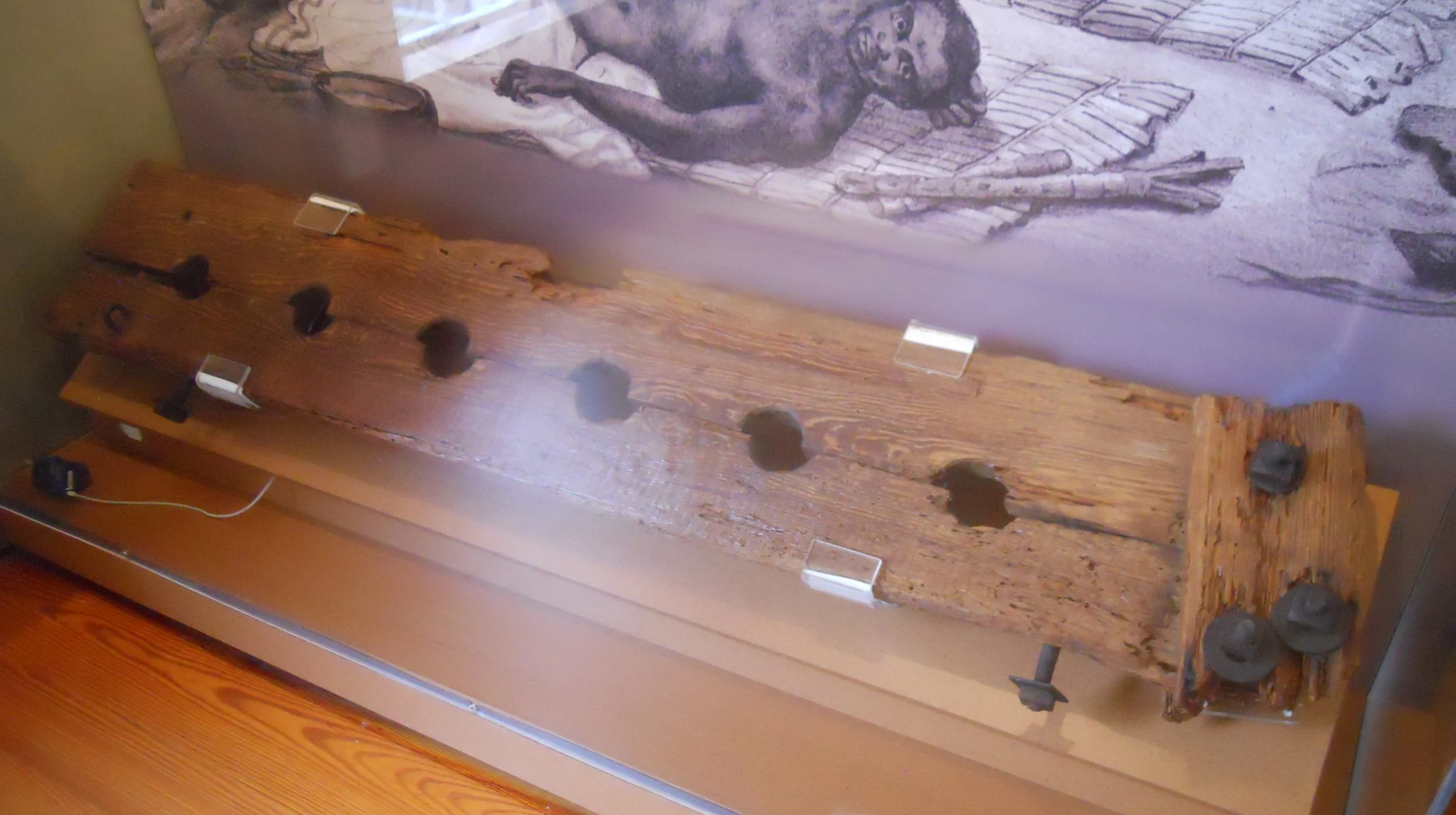
DAY 4 (November 10) - Timucuan Ecological and Historic Preserve covers a coastal water wetland region in northern Florida. Quite appropriate for water and Florida to be in the same sentence. I stopped at Kingsley Plantation. The “rich” side of the property has the oldest standing plantation house in the country, built in 1798 by John McQueen. To help preserve this artifact, tours are given only two times a day on Saturdays and Sundays. On the “poor” side of the plantation are ruins of slaves’ cabins, over 200 years old. Conditions were horrible for the enslaved here, and the mass of mosquitoes in the moist environment did not help. This site is named after one of the plantation owners, Anna and Zephaniah Kingsley. Anna was a free African-American, living here from 1814 to 1837. Since this was Spanish Florida, Anna could own slaves and a plantation. That would not have been the case if she had lived in the American colony of Georgia. She was a powerful symbol for her people, eventually owning 32,000 acres and 200 slaves. One of the buildings associated with her contains artifacts from that era.
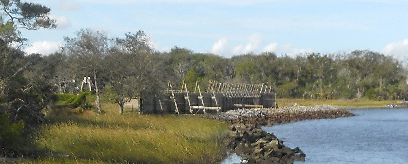
Within the Preserve is Fort Caroline NMem, its own unique NPS park. This park preserves the area on which the French tried to establish their hold on the coast of the new world. A small fort was built on the banks of the St. Johns River.
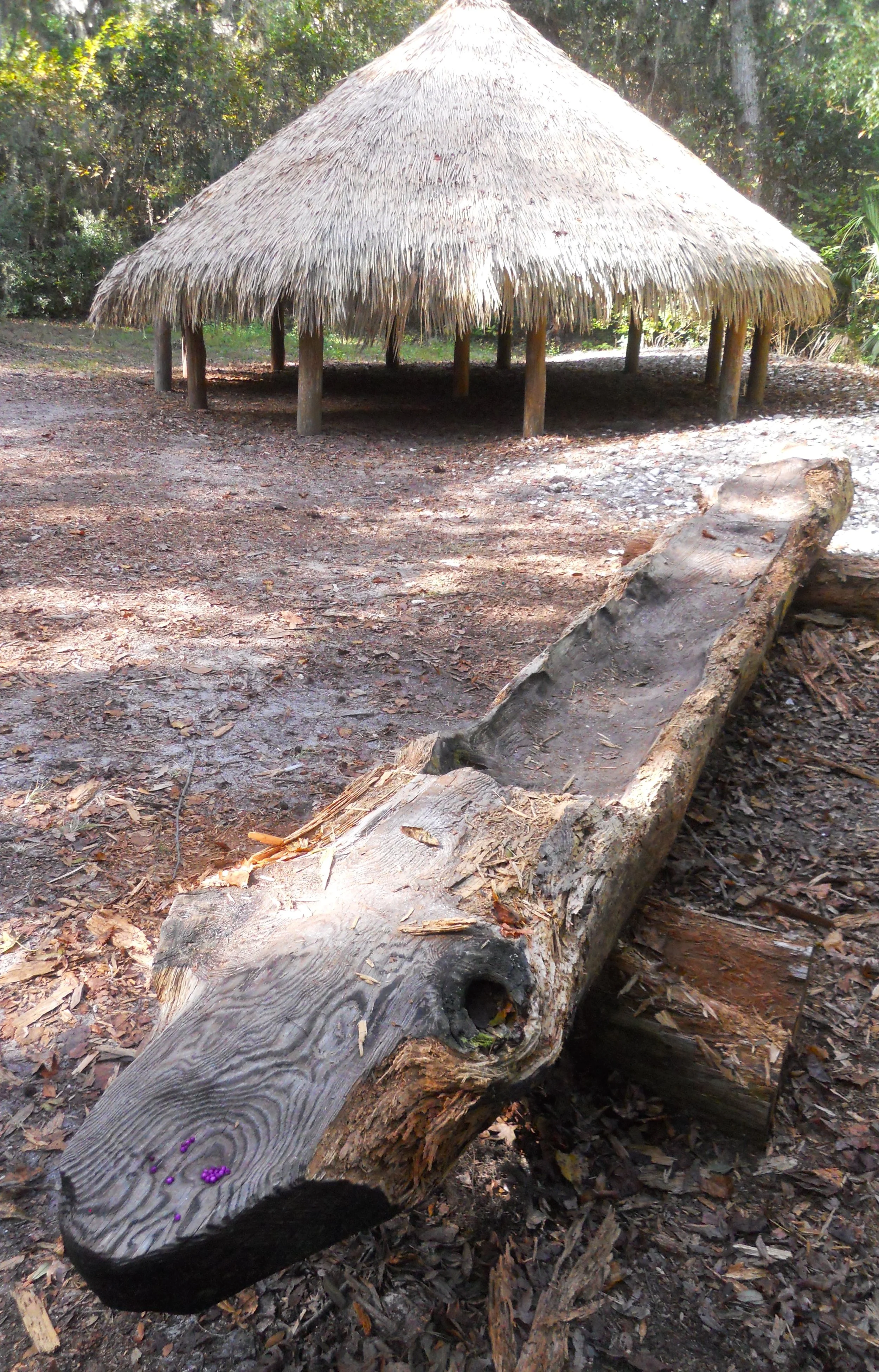
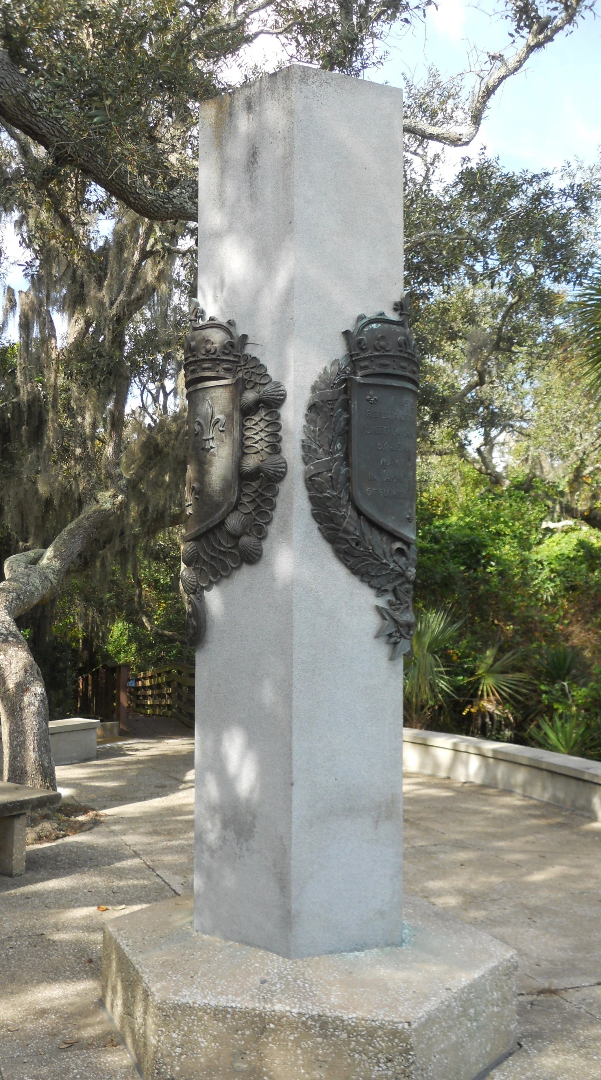
A log canoe and fale-type structure which are examples of what the Timucuan peoples would have used are in a clearing by the recreated fort. A couple of French guns are positioned in the fort, pointing out to the river. A replica French flag flies above the fort. May 1, 1562 is the date Jean Ribault first saw this land as he sailed his ship and men up the river. They erected a stone marker on a cliff. A replica of that stone column has been placed on that spot, complete with the coat of arms of France. Three years later the conflict with Spain in this region ended with the massacre of Ribault and his French soldiers at Fort Matanzas, 15 miles south of St. Augustine.
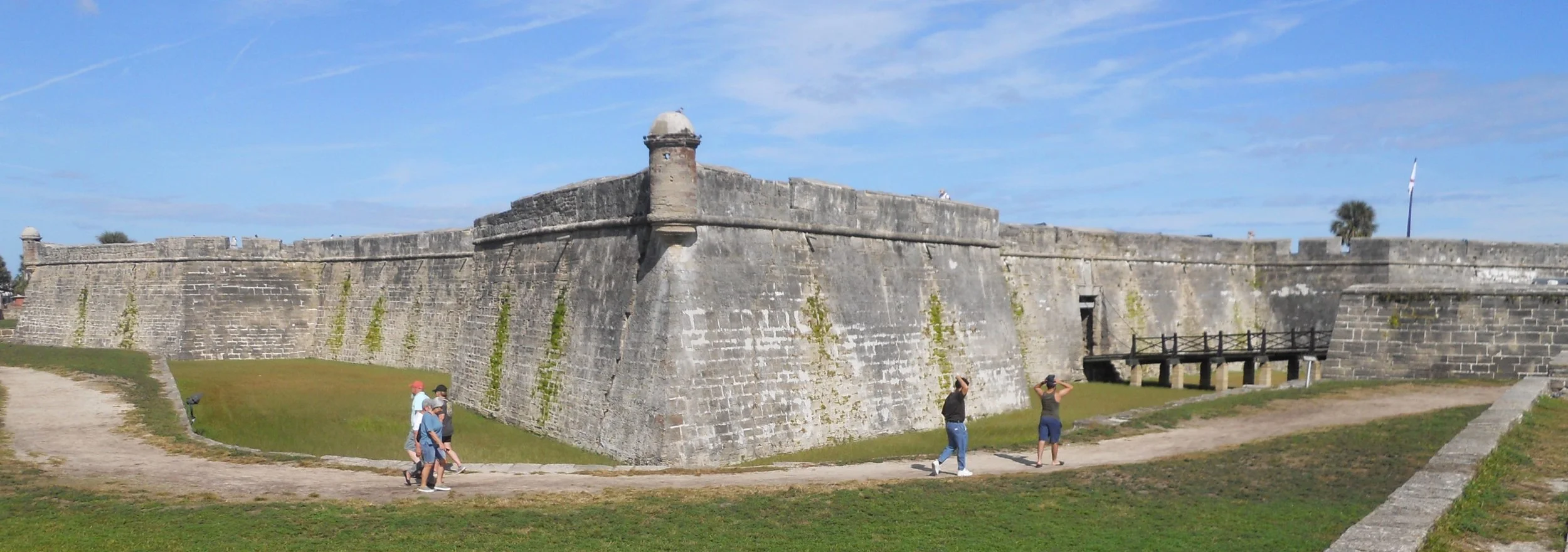
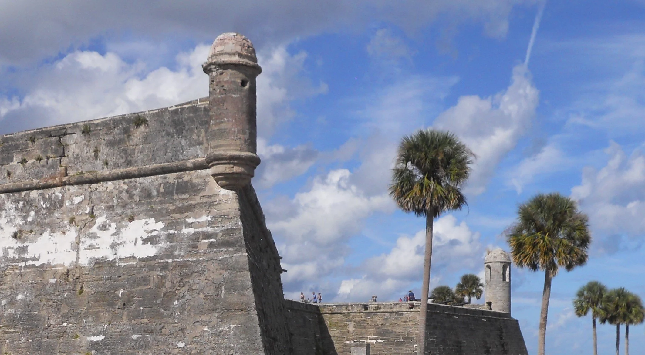
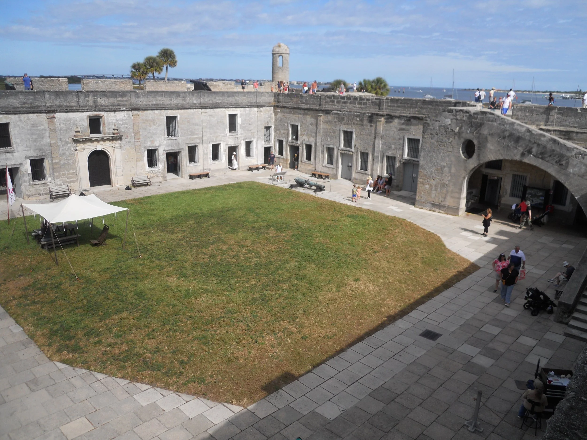
St. Augustine was the sight of Spain’s grandest fort in Florida, Castillo de San Marcos, today a National Park unit. If you like to look at old cannons, mortars, and guns, this is your place. There are so many guns in the fort that the NPS printed a document with details and location of each armament for visitors to use while touring. The dates range back to the late-1500s, up to guns captured during the Mexican-American War (one such 16-pounder gun was made in 1743 in Barcelona, captured at Vera Cruz in 1847).
Rooms on the ground floor of the fort had information displays and artifacts. A stone staircase (on the right) allows visitors to climb to the top tier to look out over St. Augustine, and to view the inventory of guns.
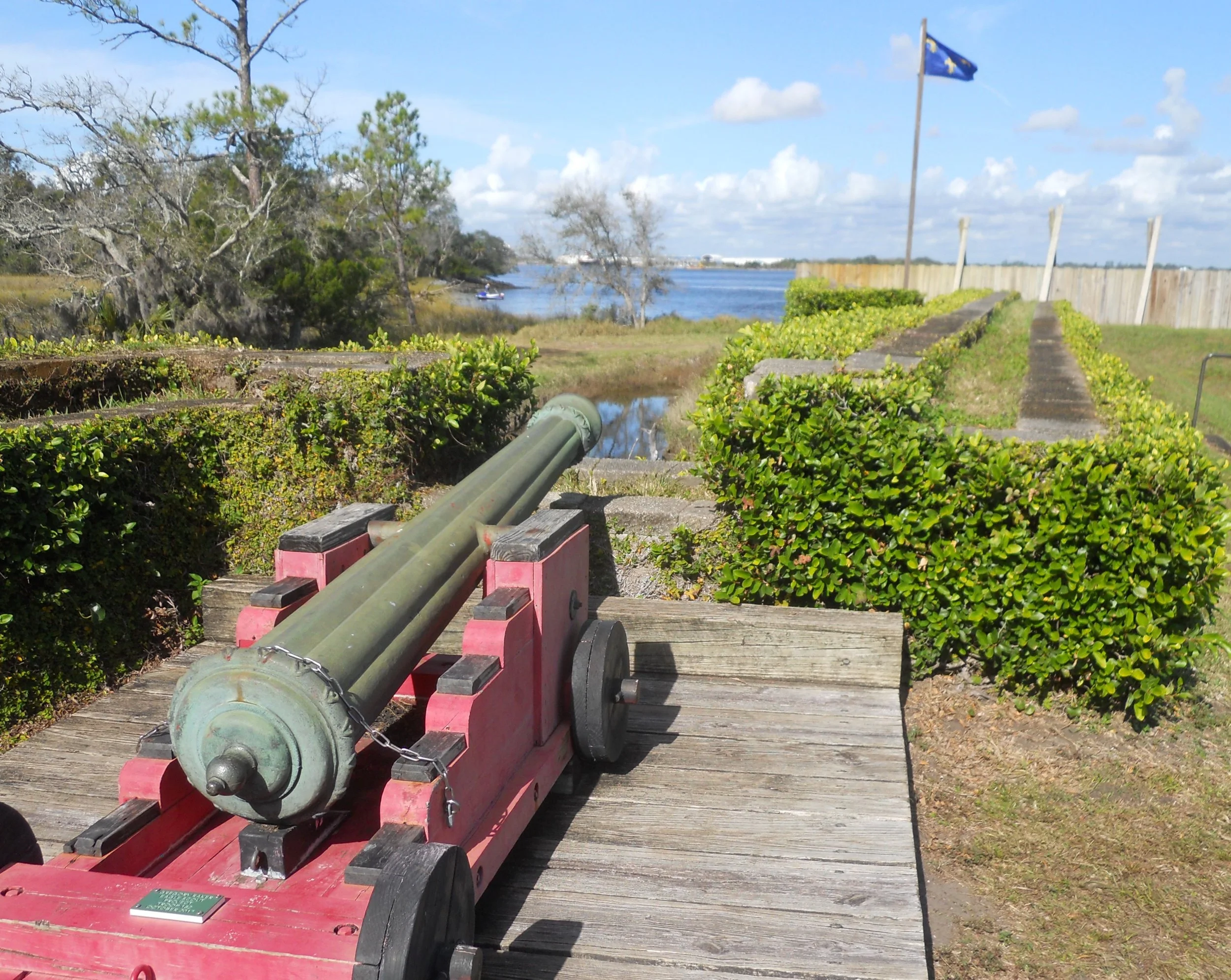
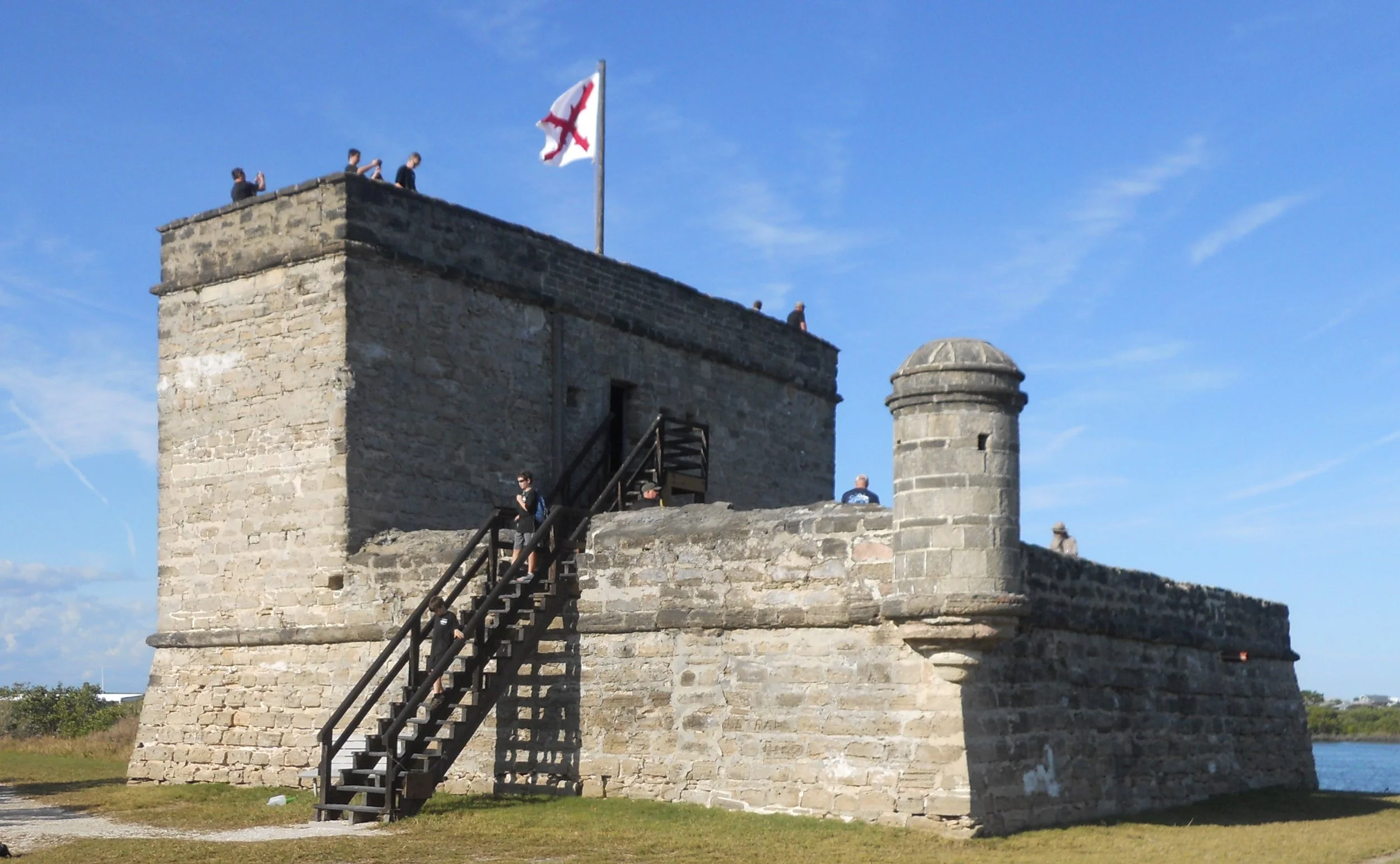
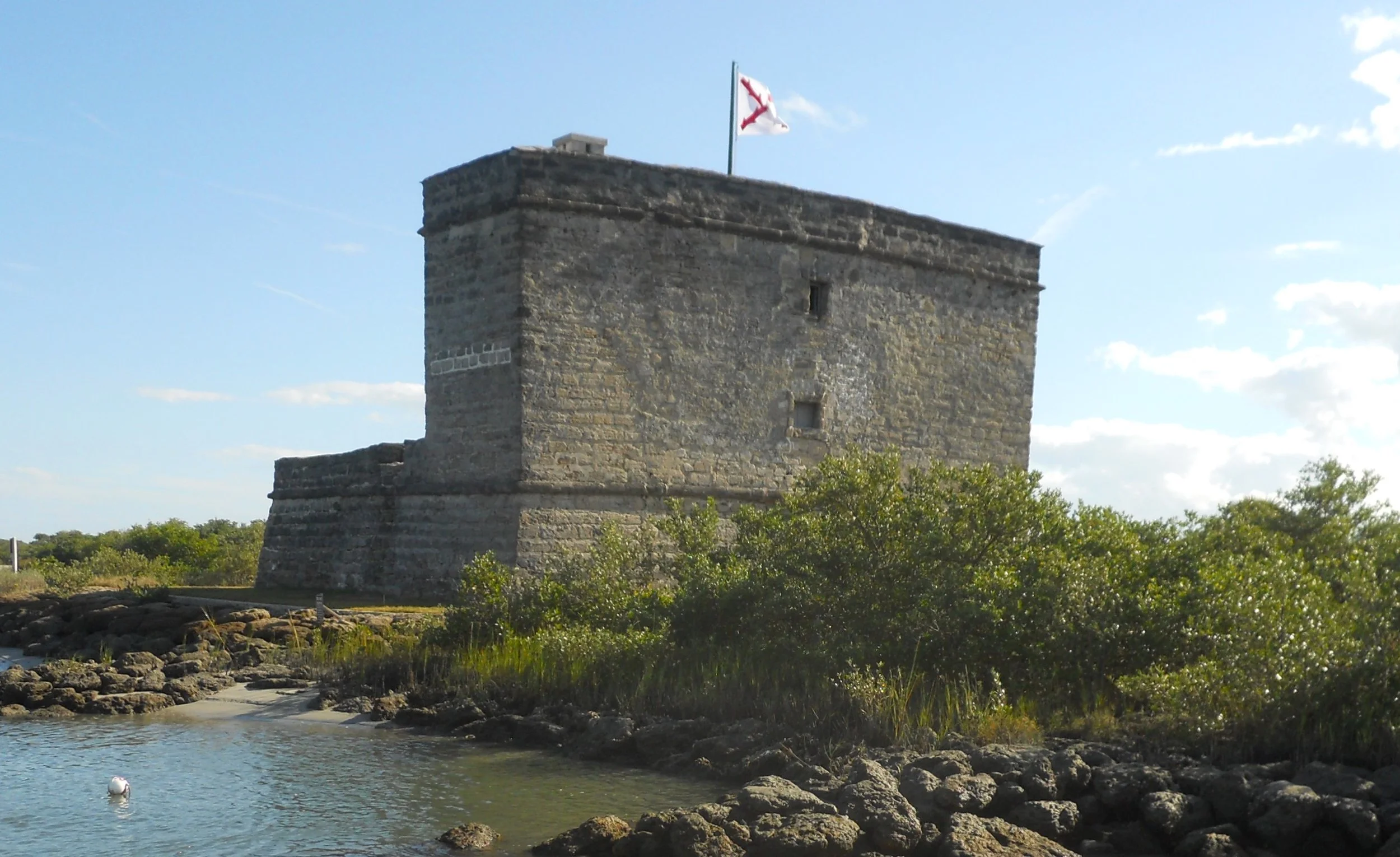
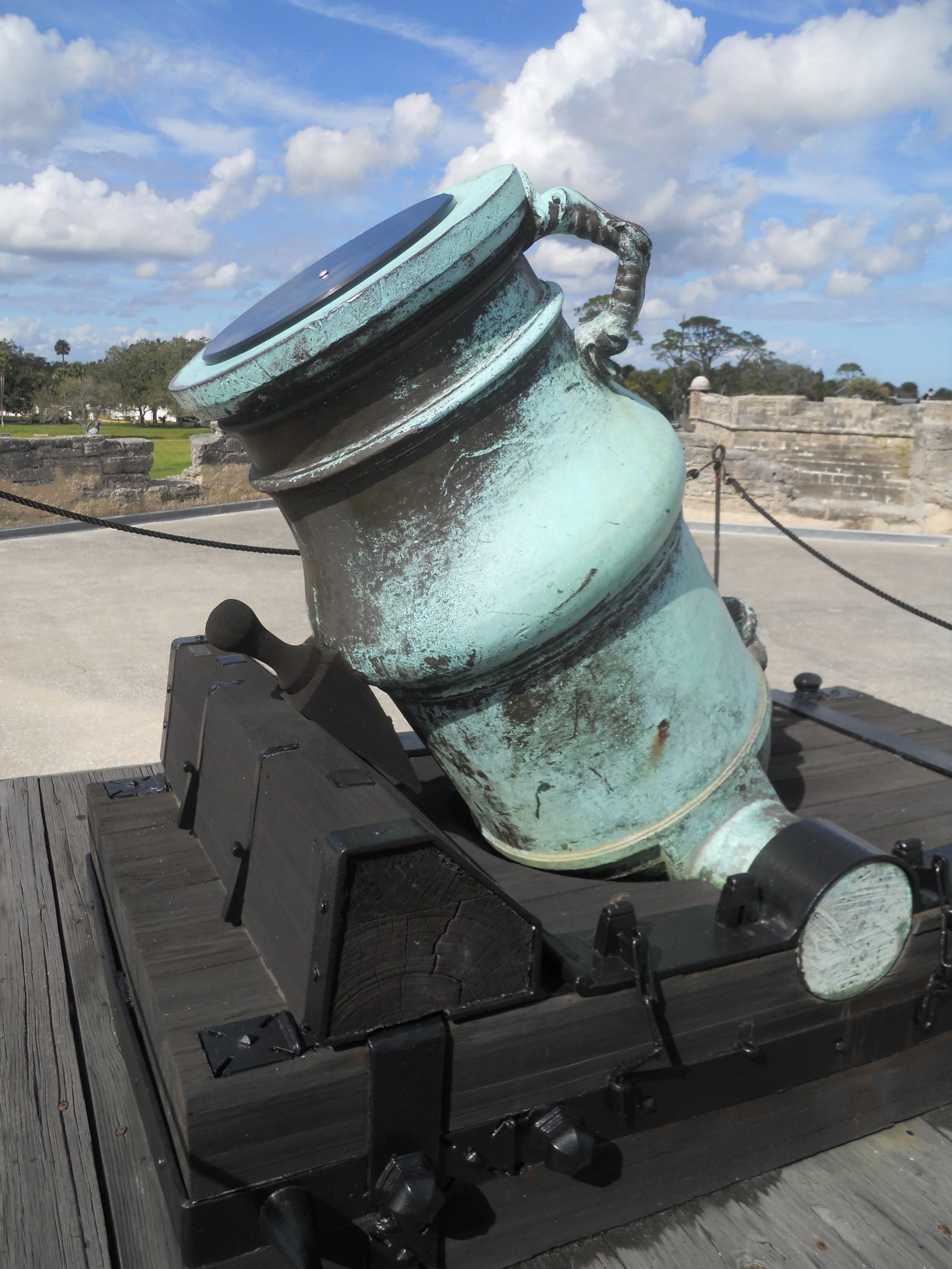
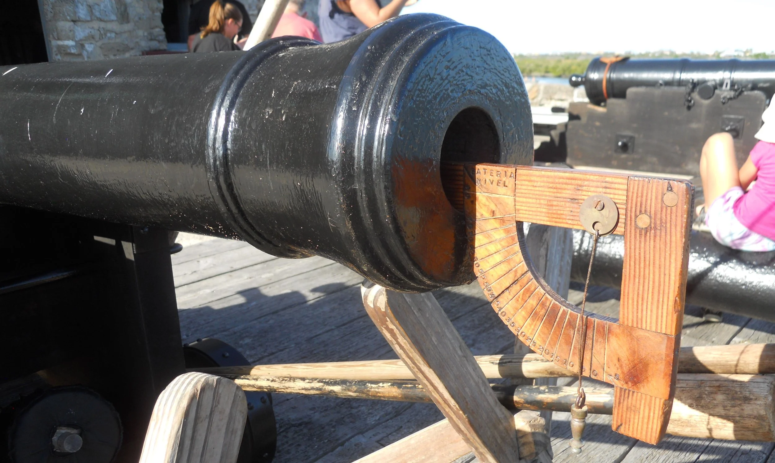
Since the Spanish had bet all their marbles on St. Augustine, they needed guard posts to be positioned along the river which came up from the south, which separated the mainland from a long barrier island (today which route A1A traverses). This is how Fort Matanzas came to be, as the means to protect the water-approach to St. Augustine. 6-pound and 8-pound cannon were mounted in the fort. The two 8-pound guns (one in the photo) on the main level of the fort are original. The two 6-pound guns are replicas, but the NPS uses them for firing demonstrations (a protractor-device was used by the Spanish, and today’s rangers, to set the angle of fire).
A colony of Fiddler Crabs had taken up residence along the pathway from the boat dock to the fort.


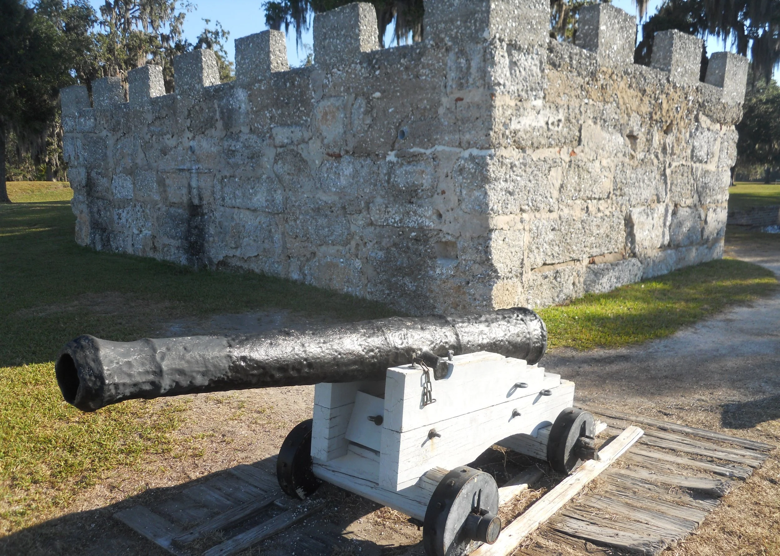
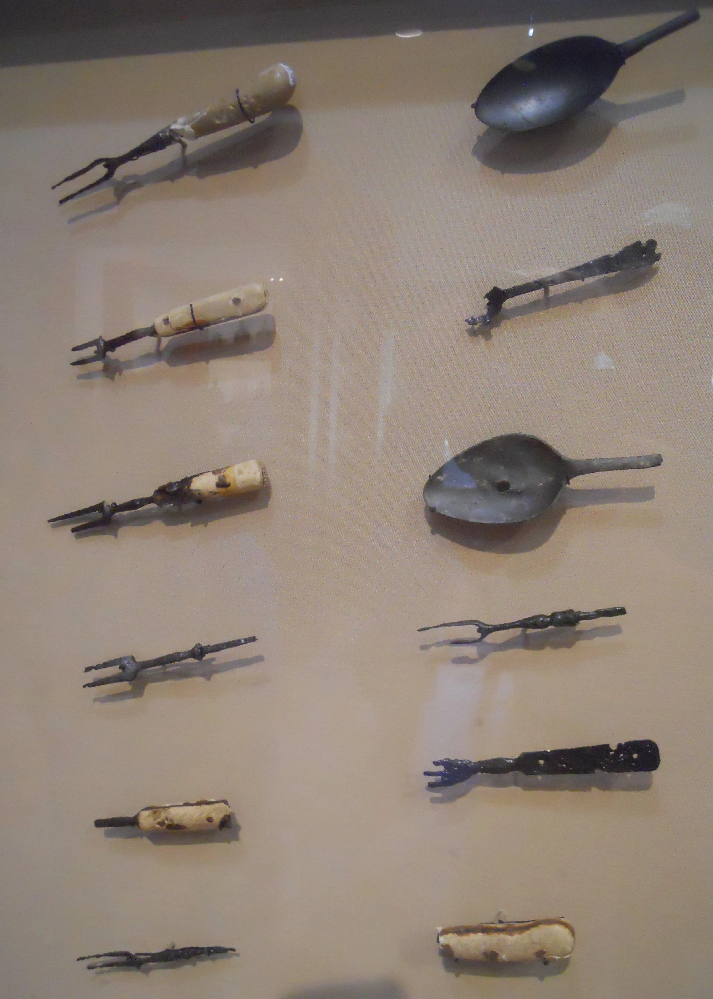
DAY 3 (November 9) - Fort Frederica NMon preserves the ancient site of Fort Frederica, the asset which allowed Britain to gain control of the Georgia region. Spanish forces were unable to attack the garrison in 1742 due to the cannon at the fort (and the 200 British troops), returning to their strongholds in Florida. Thousands of relics have been uncovered by archeologists, such as eating utensils displayed in the VC. But the only remaining structure from that time period is a portion of the 96-foot long Kings Magazine. The cannon in front of the magazine may have been part of the original arsenal of General Olgethorpe’s fort, but other guns on the park grounds only represent the time period.
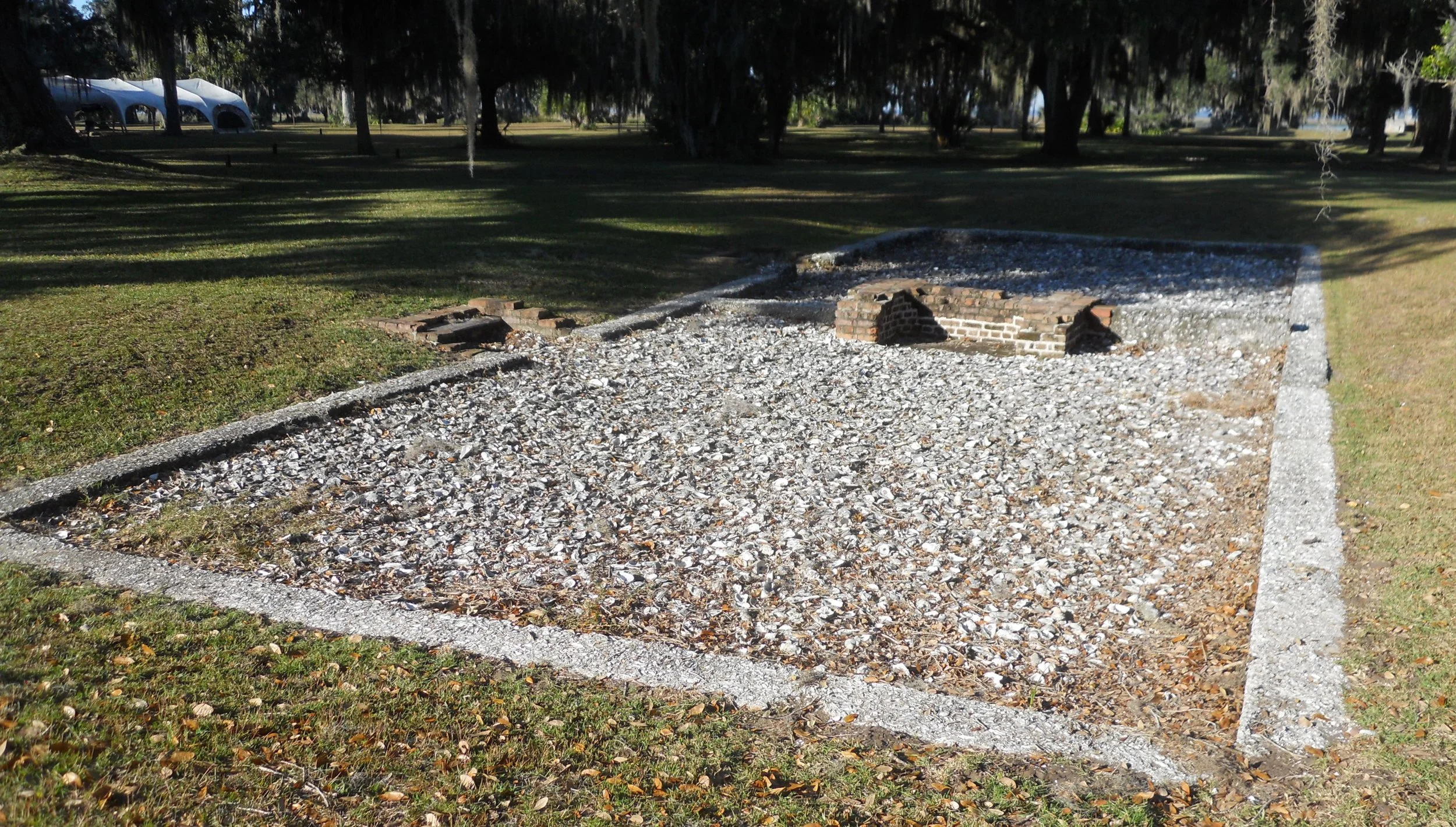
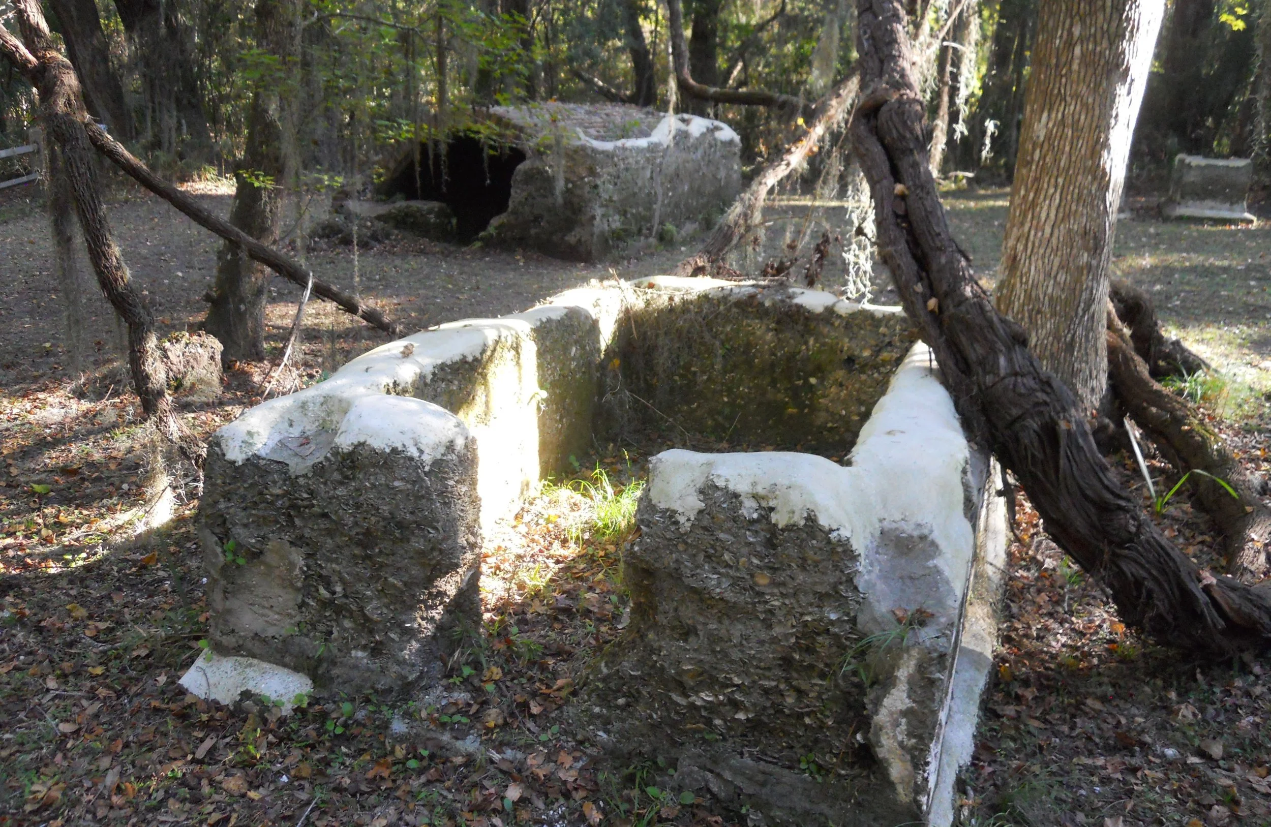
The foundations of many buildings from the village have been unearthed, such as the Candlemaker’s home, all showing the familiar signs of tabby, the ingenious cement made with seashells.
Apart from the village and fort is the Old Burying Ground. It is not known how many of Frederica’s residents are buried here. John and Charles Wesley, evangelicals who founded the Methodist movement, presided at funerals in this cemetery.
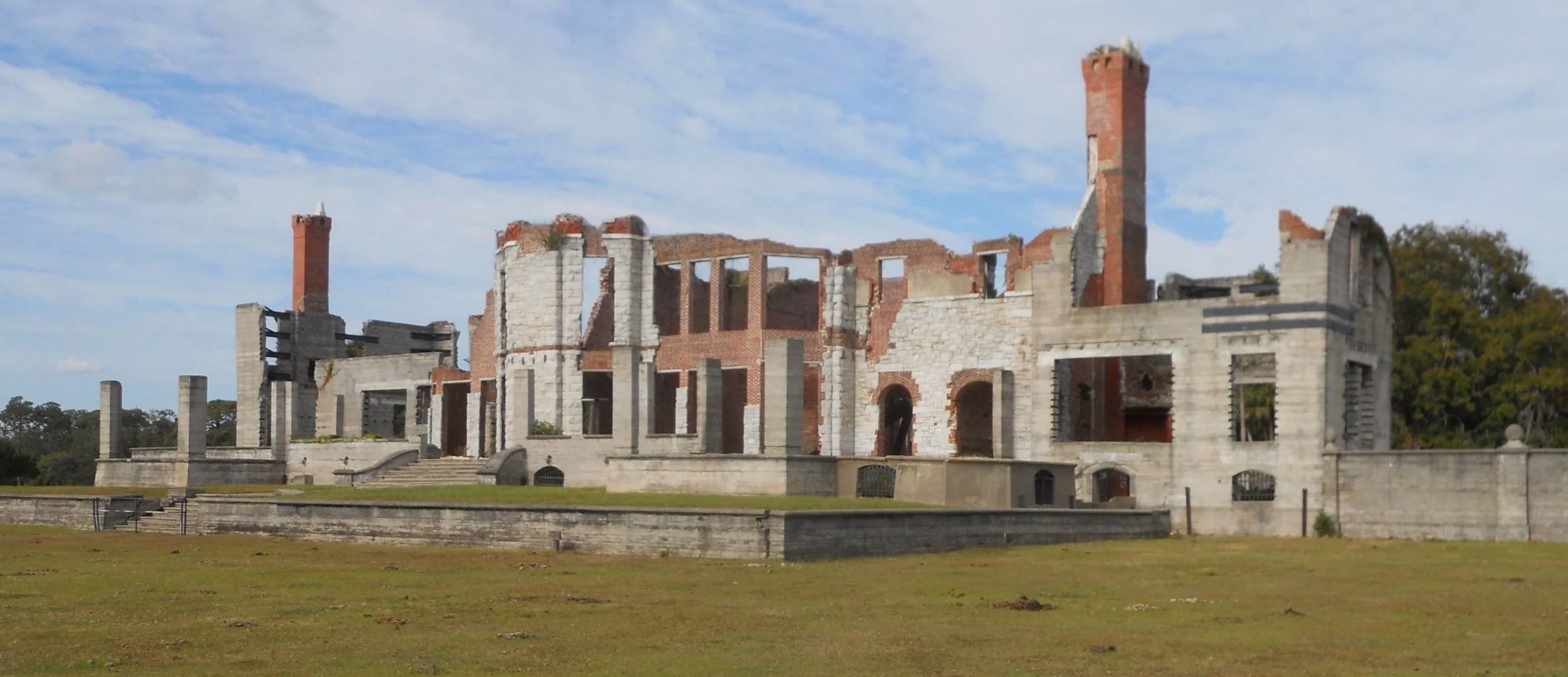
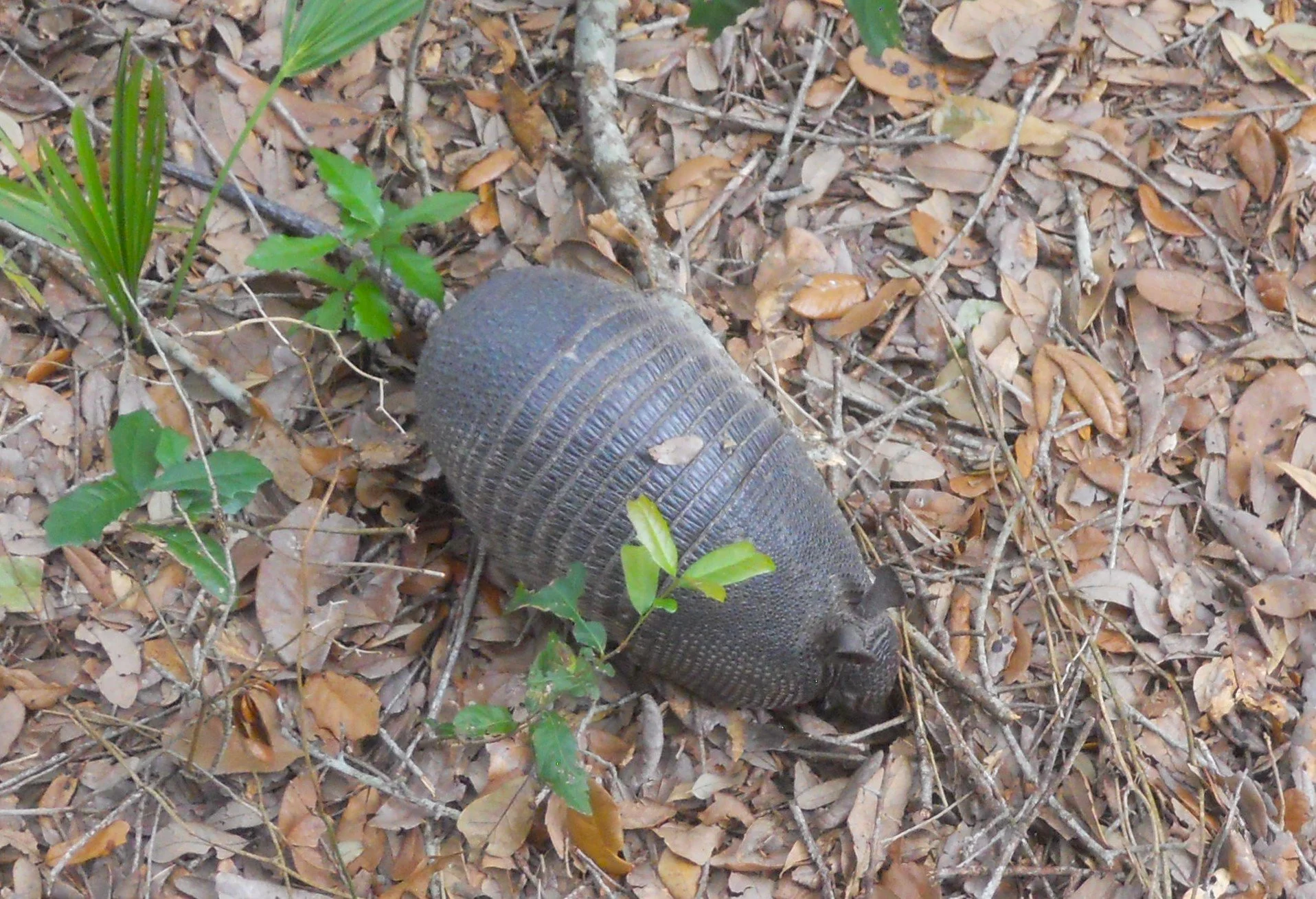
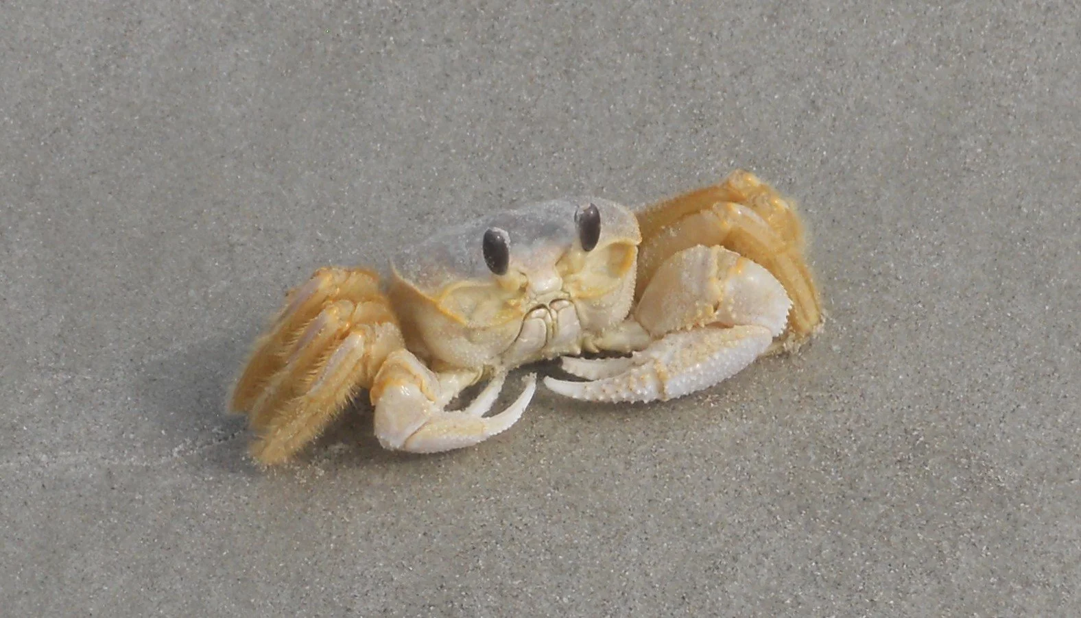
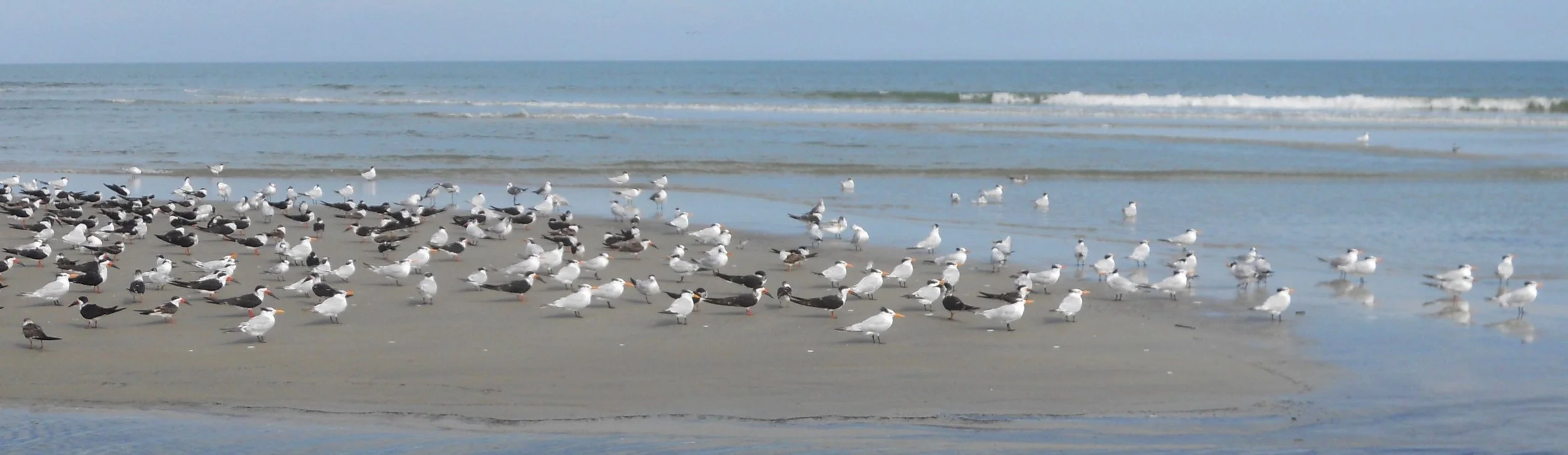
Cumberland Island NS is located on Georgia’s largest barrier island; Cumberland Island. Thomas Carnegie of the famous Carnegie brothers (Andrew being the other) bought land here and built a mansion. After his death, his wife Lucy continued to vacation on the island, eventually owning 90% of the land. The mansion has fallen into disrepair, now only ruins are visible. There are ruins of other buildings, while some like the Grange, look perfectly habitable. Horses which the wealthy brought to the island to play polo, were let loose when the humans packed up their bags. The wild horses seen today are descendants of those polo ponies. I could not get close enough to the horses for a photo, but the large quantity of armadillos had no issue. Nor the crab (I think he is a Ghost Crab) or the hundreds of birds on the shoreline.
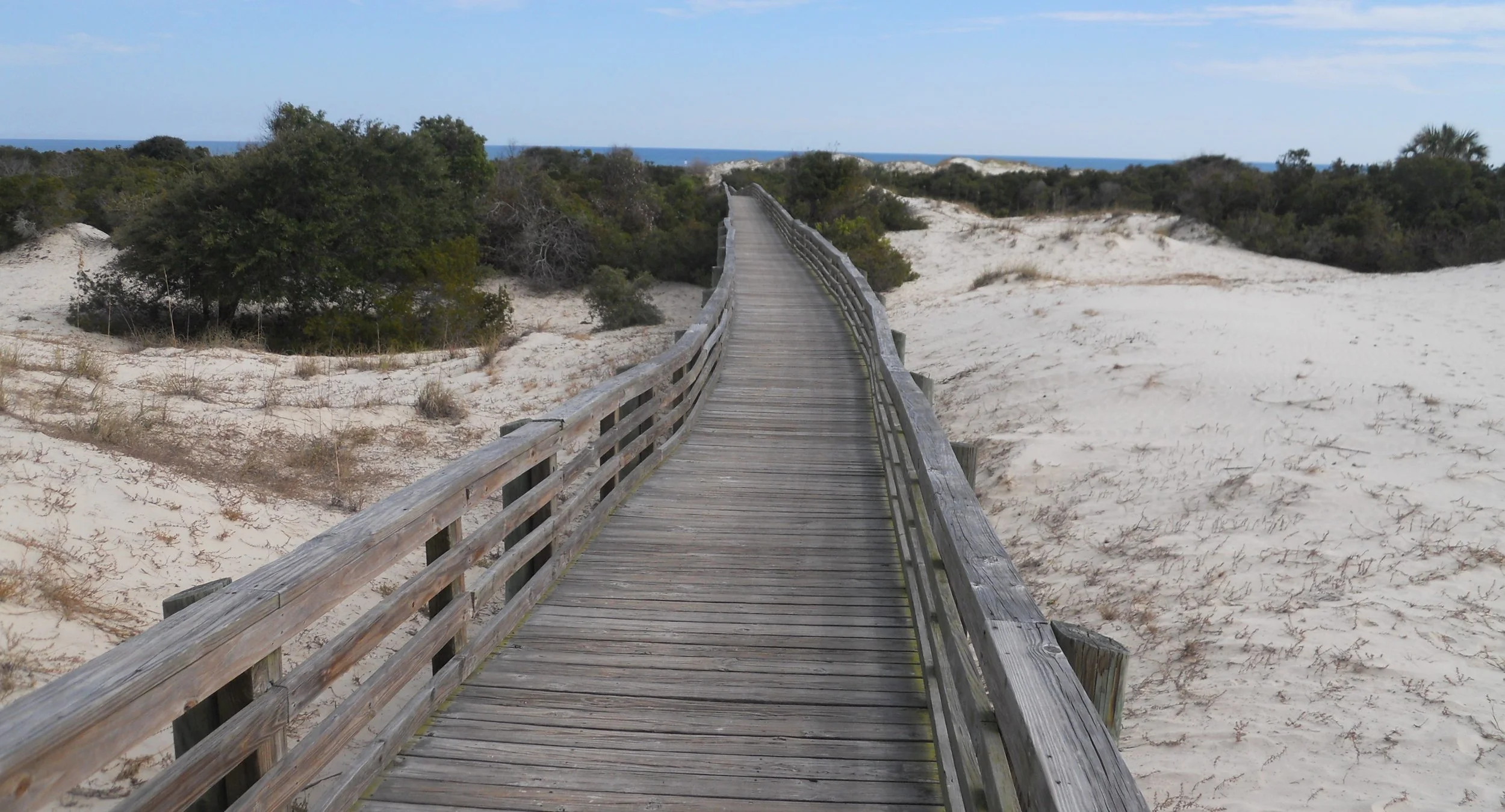
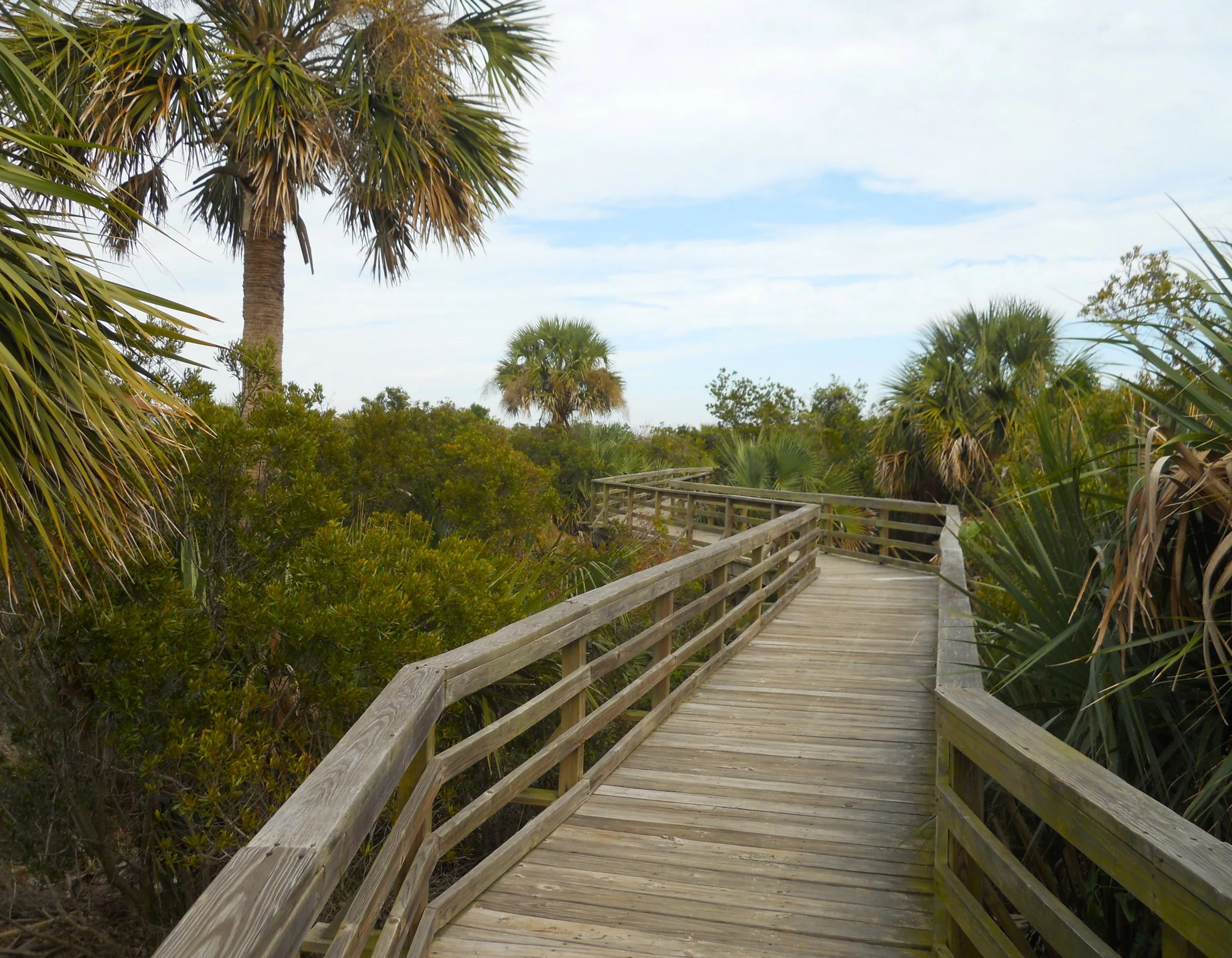
The two main paths to the ocean in the southern end of the island have boardwalks. One cuts through sand dunes while the other goes through a marsh type zone. I visited during low tide, and the beach was a good one hundred yards deep, with another 25 yards before you might get water to waist level. This is a great beach to enjoy.
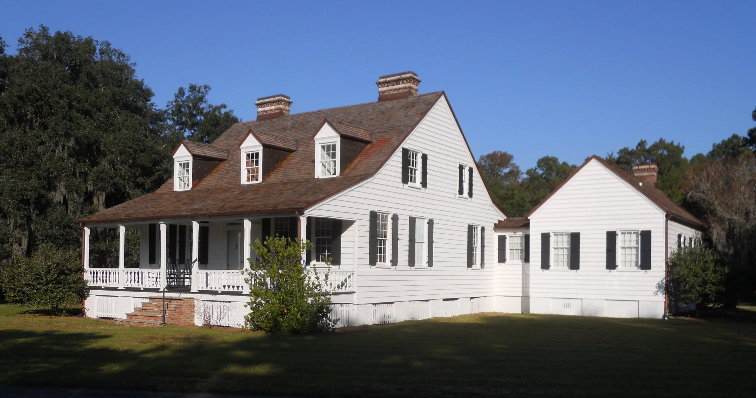
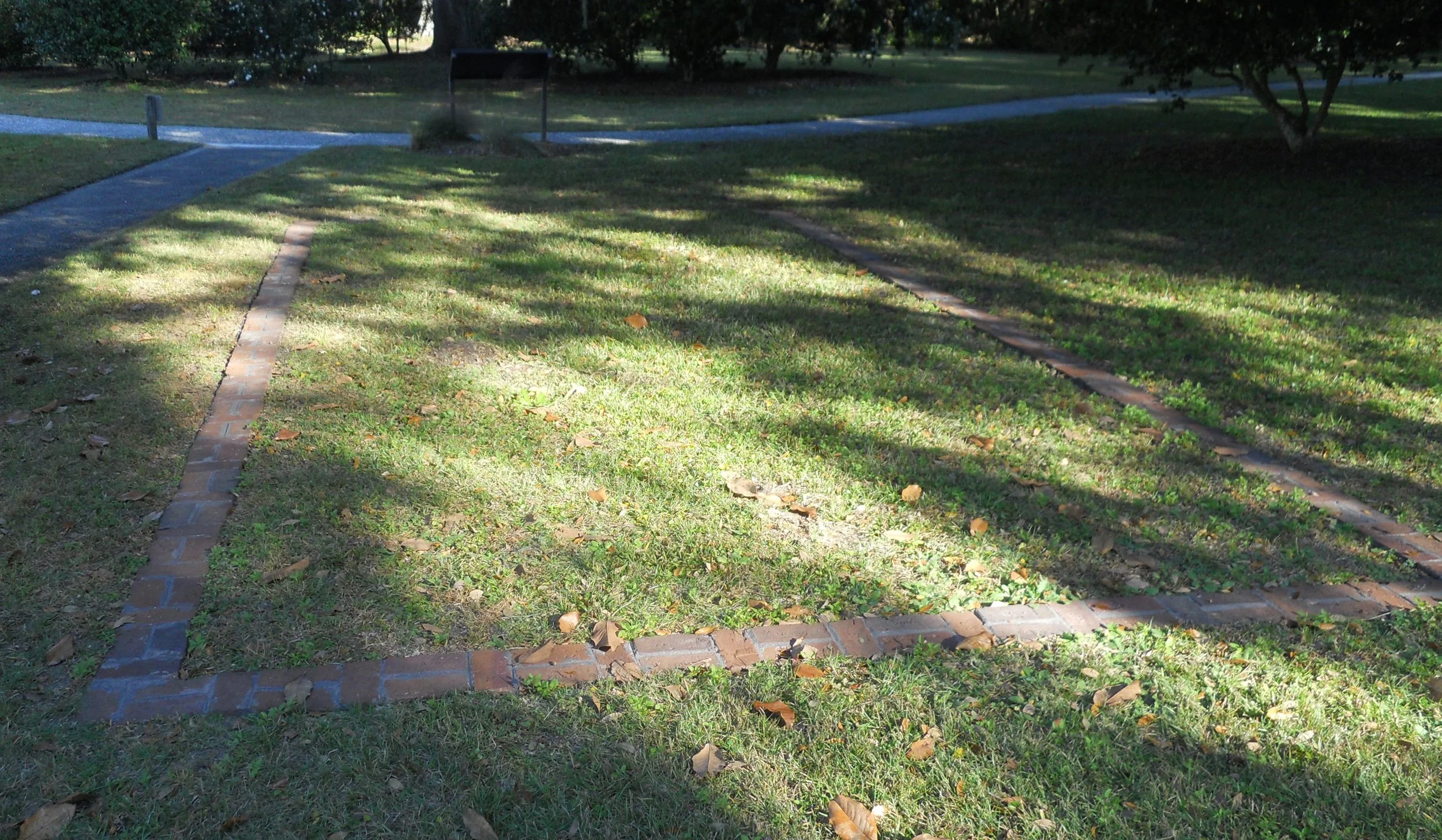
DAY 2 (November 8) - Charles Pinckney NHS preserves 28 acres of one of the plantation properties (Snee Farm) owned by Mr. Pinckney. He was one of the primary authors of the U.S. Constitution and put his “John Hancock” on the document. The house visitors see today was built in 1828 by William Matthews, exactly on the spot of Pinckney’s house. It is not known what happened to Pinckney’s structures (hurricanes, fires, Matthews’ demolition, etc.). Modern bricks are used to outline the location of some of Pinckney’s other buildings (kitchen in the photo). The plantation grew indigo and rice.
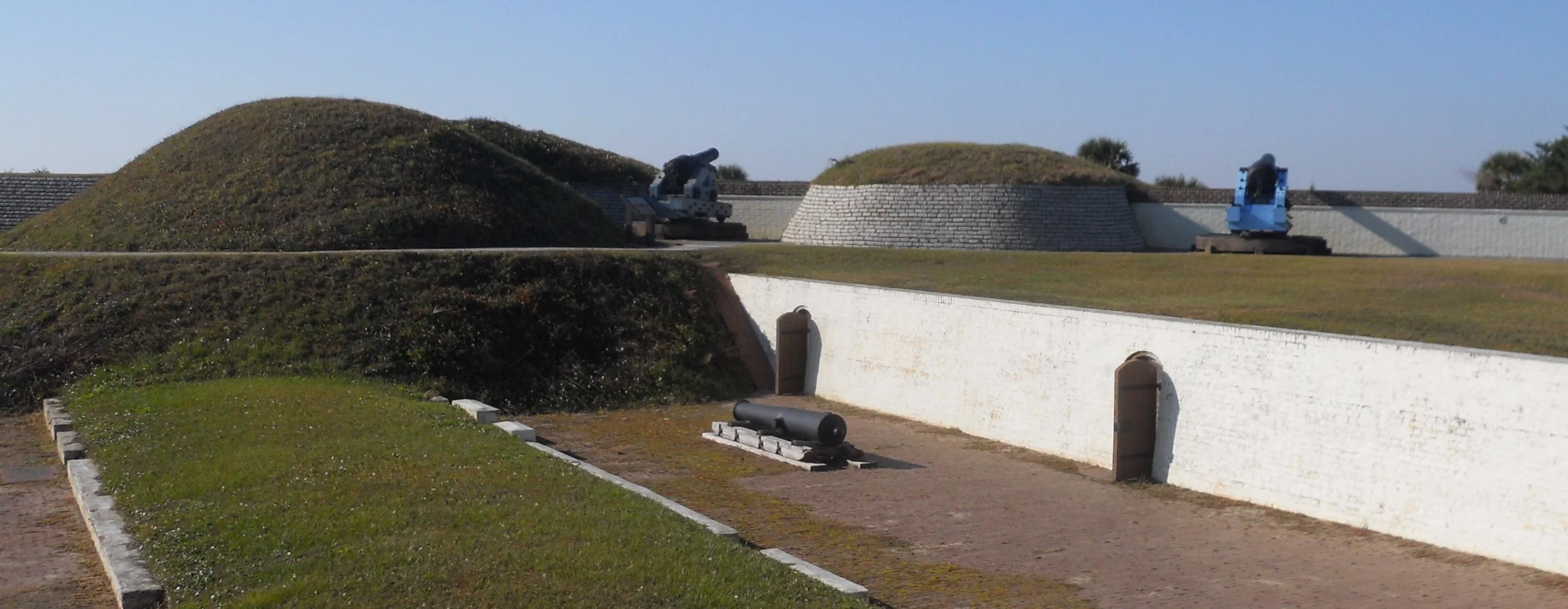
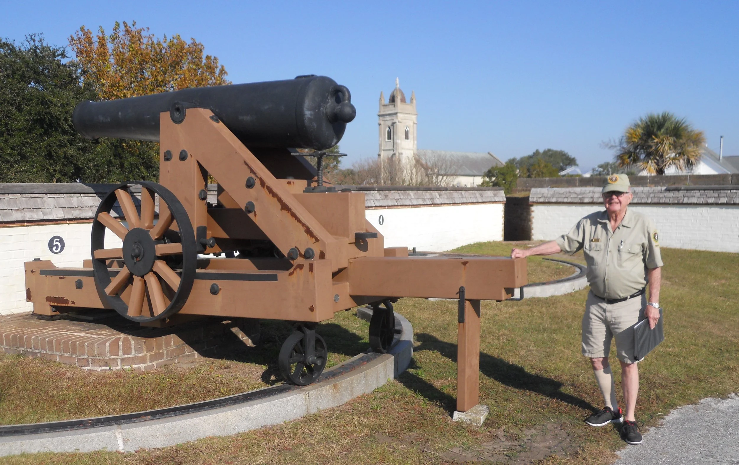
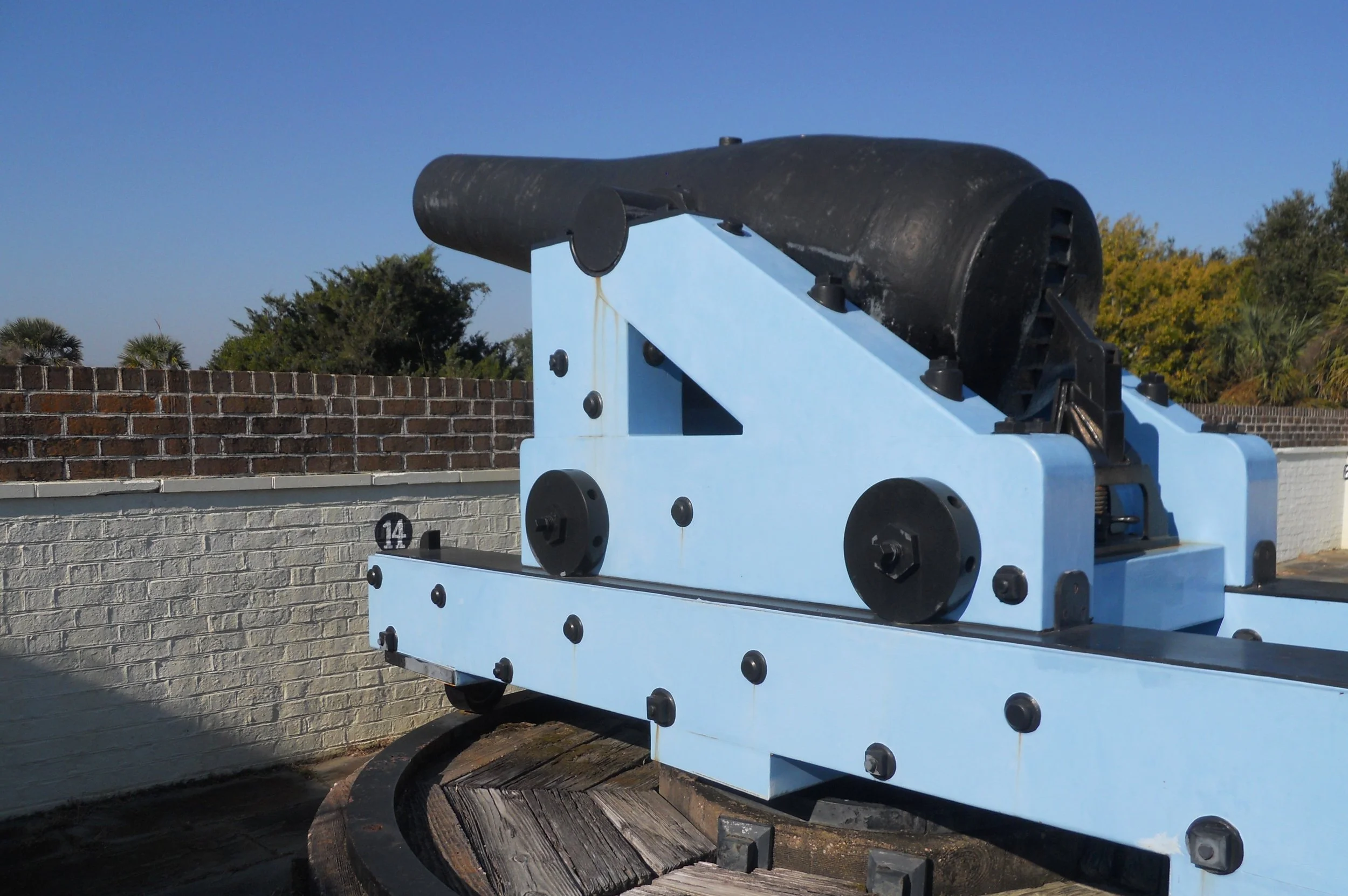
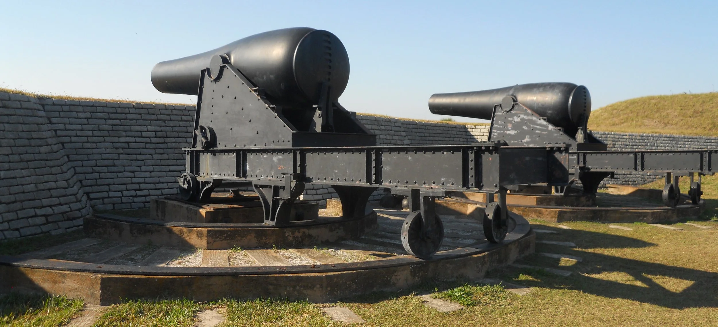
Just down the road is Fort Moultrie, a section of the Fort Sumter and Fort Moultrie NHP. Staff volunteer, Jim (a NPTC member), took me on a quick tour of the fort, since I had to make the ferry for Fort Sumter. There are a number of guns sitting on the top tier of the fort. All are original pieces, starting from the 1830s (I believe the one Jim is next to is from the 1830s) up to WW2. A pair of Rodman Guns were impressive. These things weigh 50,000 lbs, each. That took effort to move and position.
The Confederates took control of Fort Moultrie and used its guns to bombard Fort Sumter on the opening battle of the Civil War. Near the end of the war, the ironclad warship U.S.S. Patapsco was sunk in the Charleston channel by a Confederate mine. Sixty-two men lost their lives in that event. Five of them are buried under the marker which stands outside the fort’s walls.
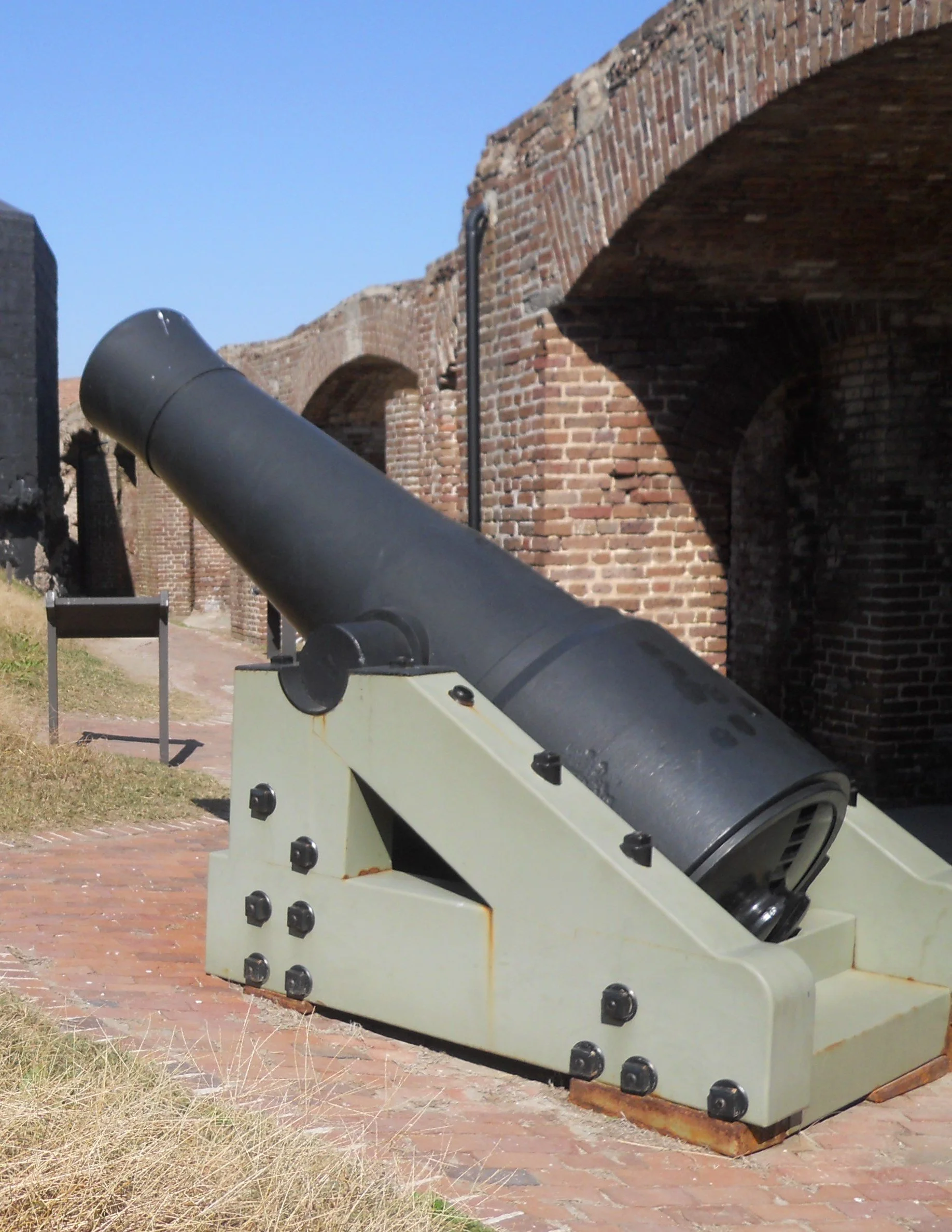
And just like the guns at Fort Moultrie are original, so are the ones at Fort Sumter, like this Confederate 42-pounder, which was rifled and banded so it could hurl its ordinance 3,800 yards. The weather over the decades has taken its toll on this gun.
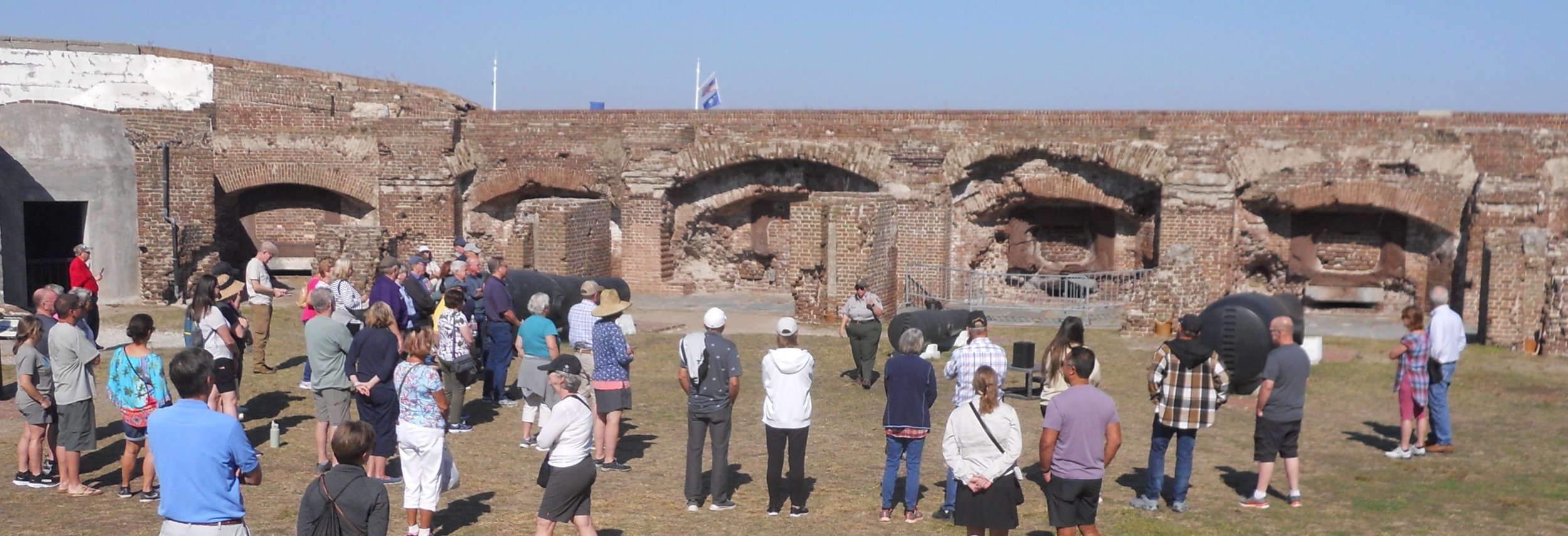
The first activity for most of the people on the ferry is to listen to a NPS Ranger (she is in the center of the photo) give a short presentation on the history of the fort and that fateful battle in 1861.
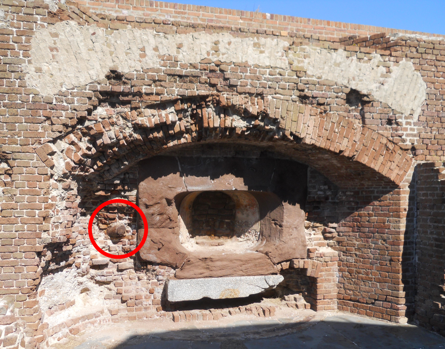
The right face of the fort had the least damage done during the bombardment. A few shells from rifled guns protrude (red circle marks the spot of one) from the interior surface in this section of the fort. Try to experience that by reading a book in school. Further down the wall’s walkway is a Columbiad Gun, introduced in 1811. Columbiads were used throughout the war.
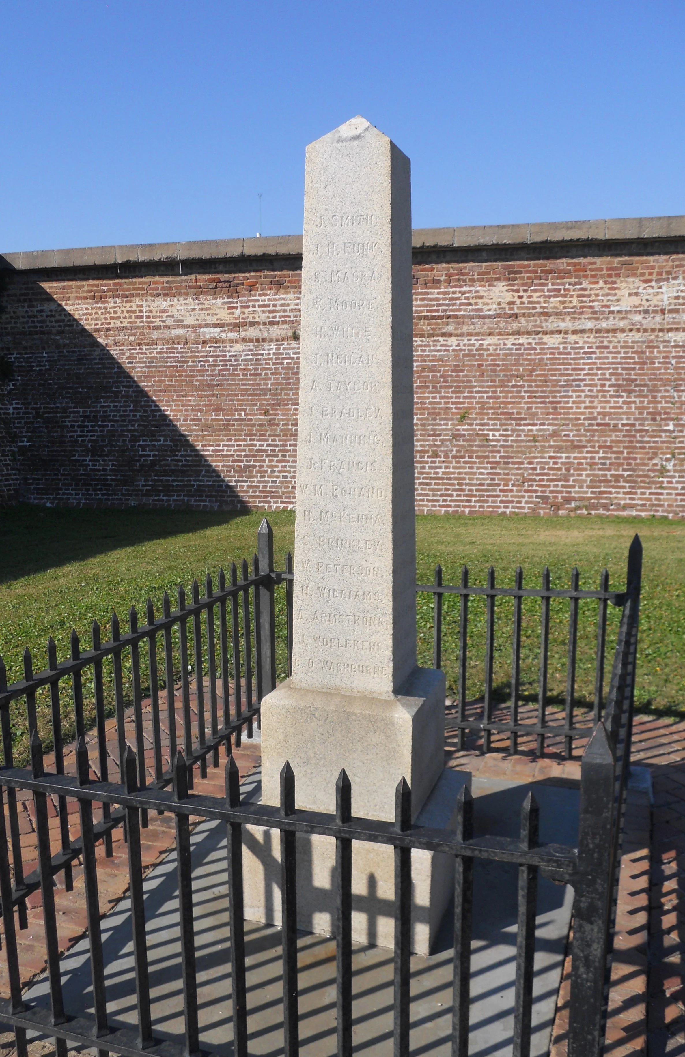
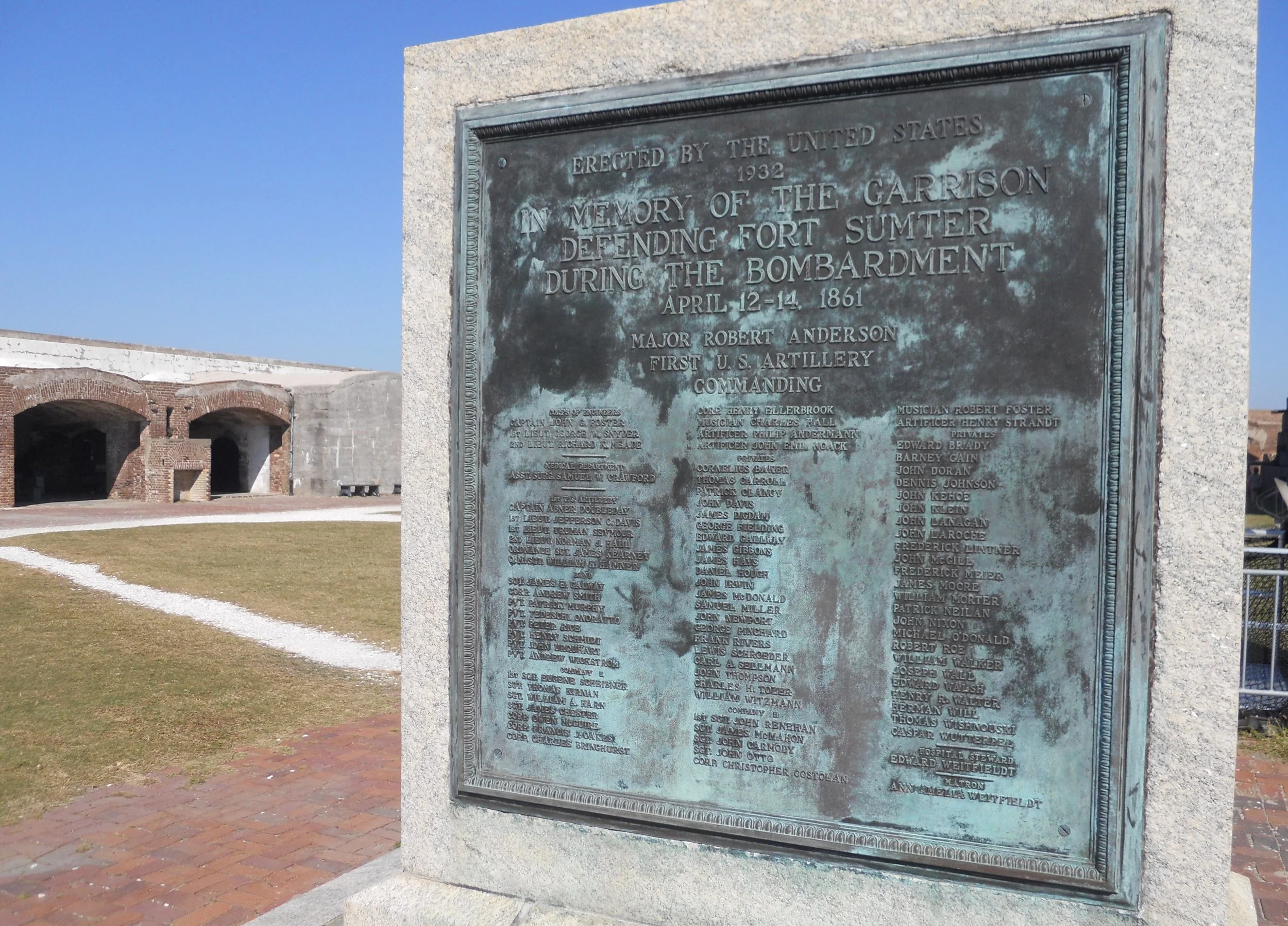
Out in the parade grounds area is a memorial to remember the brave garrison that manned Fort Sumter when it was attacked on April 12.
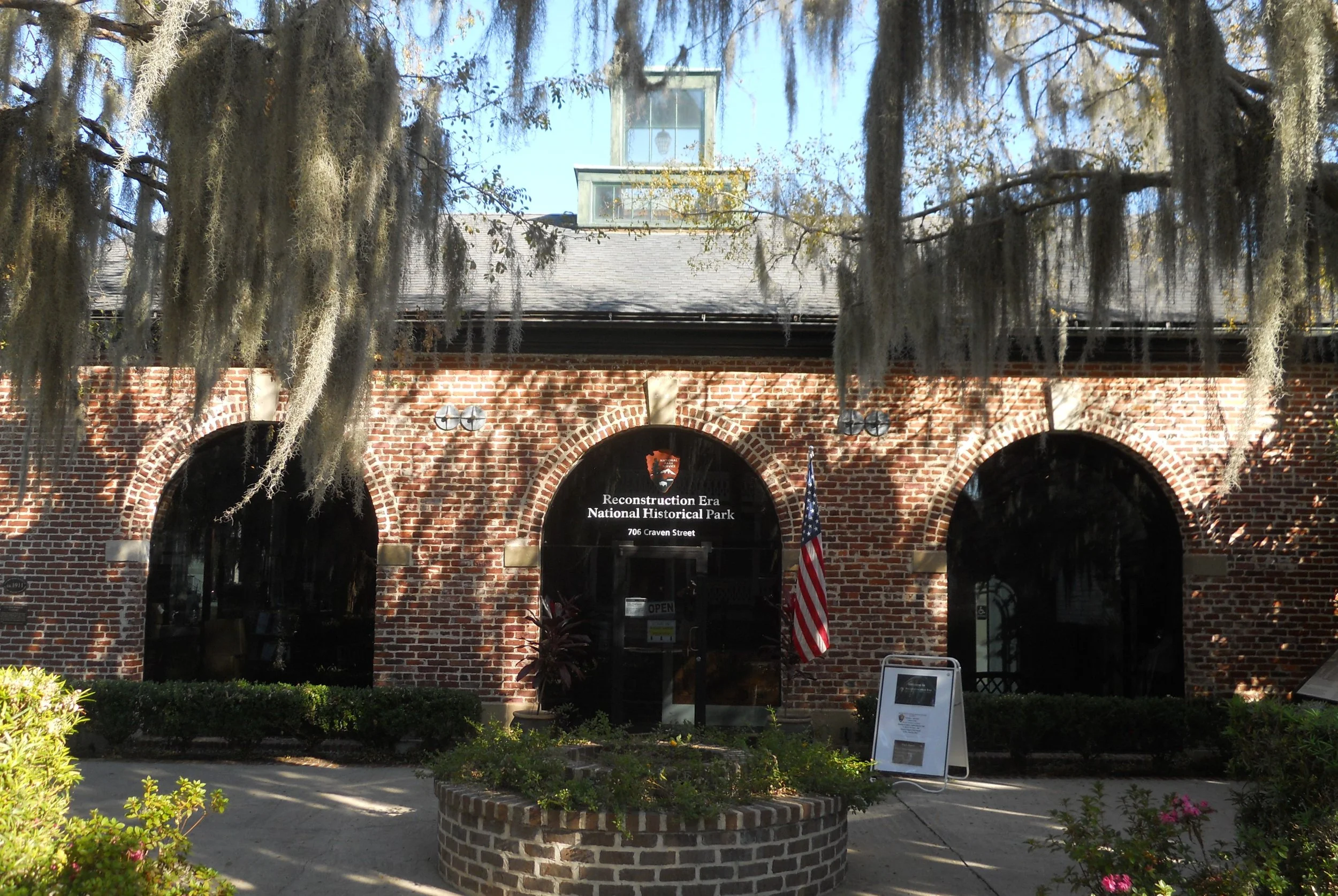
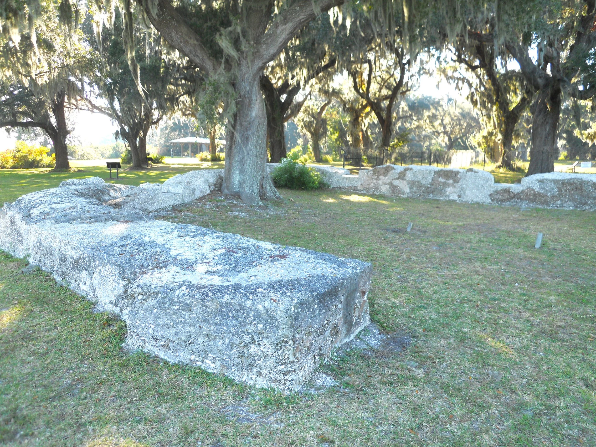
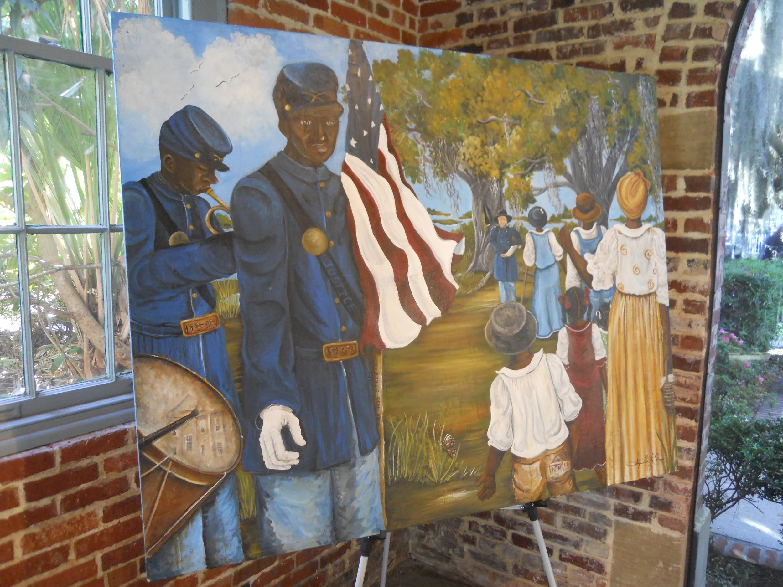
About 1.5 hours down the road is Reconstruction Era NHP, one of the newer park units. The park is in Beaufort, SC. The VC is in the city’s old Fire House, one of the properties now owned by the NPS. A wonderful painting by Sonja Evans of the reading of the Emancipation Proclamation at Camp Saxton on January 1, 1863 is along one side of the VC. Camp Saxton is also within the boundaries of the park. I drove over to the site. The only accessible portion for the public (most of the land is on the U.S. Navy Hospital base) is Fort Frederick. The British built this small fort in the 1730s. The tabby ruins were used to support the dock structure at Camp Saxton.
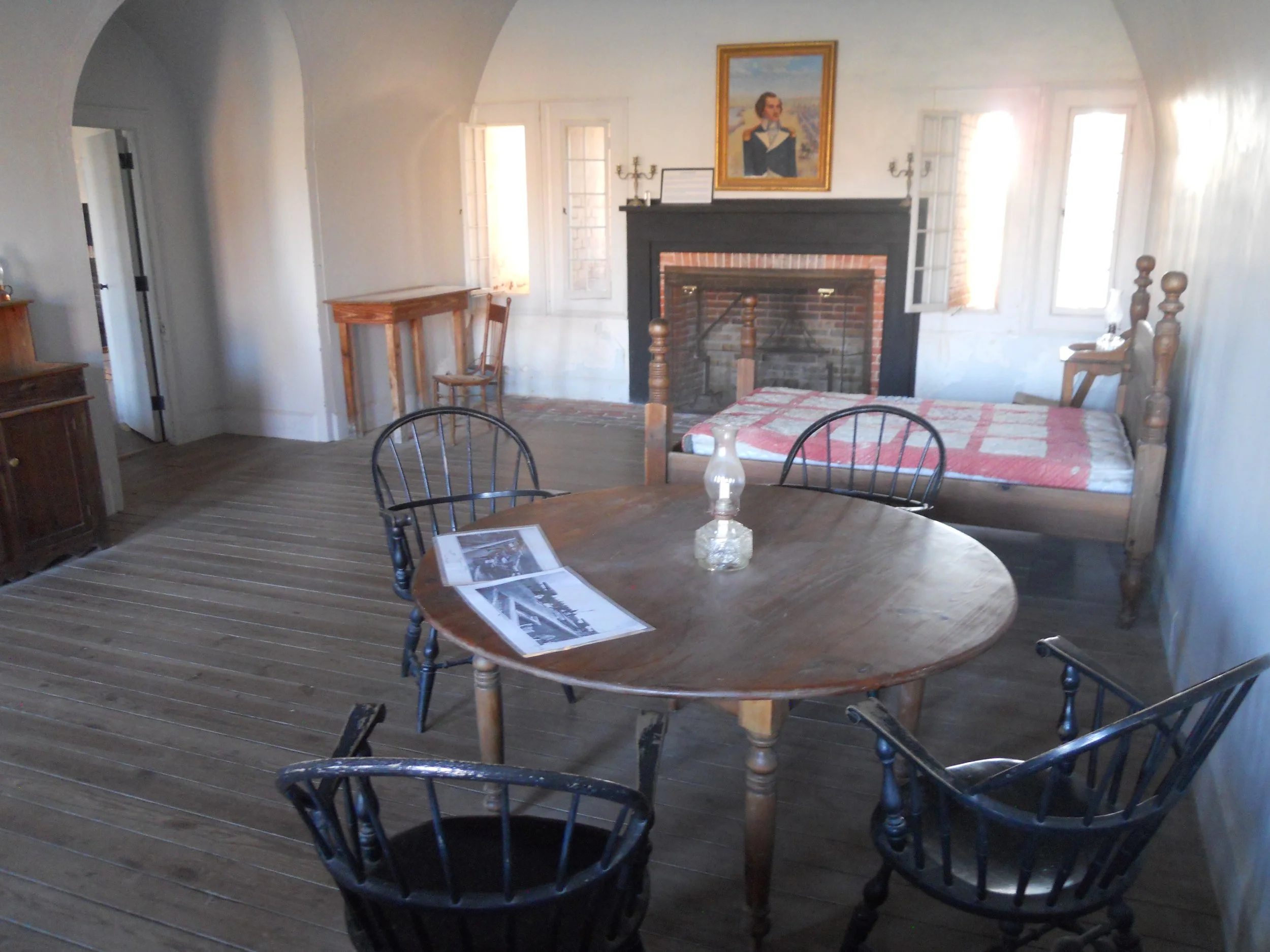
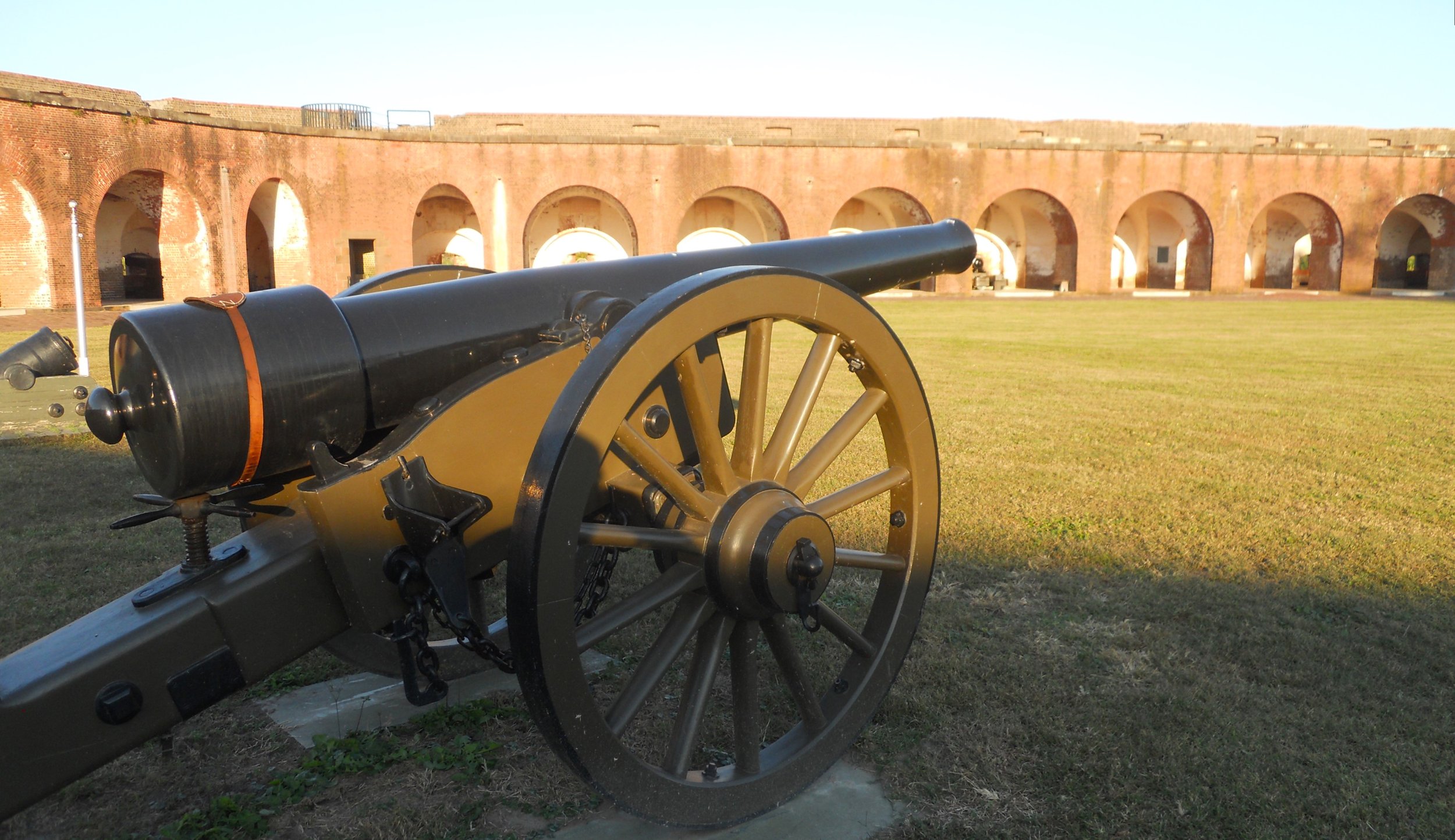
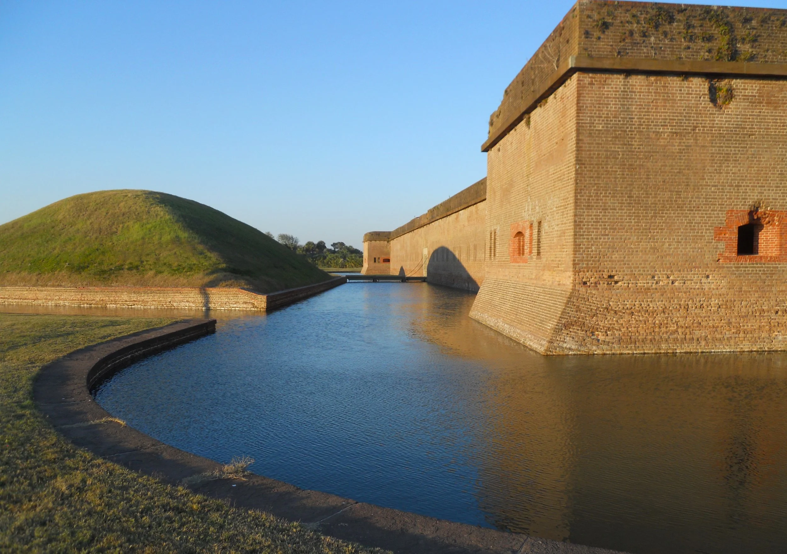
The last park for today was Fort Pulaski NMon, east of Savannah, GA, on route US 80. Various types of guns are on the grounds and on the top of the fort’s walls. Visitors can look inside rooms such as the Commanding Officer’s Quarters. He was much more comfortable than the enlisted men.
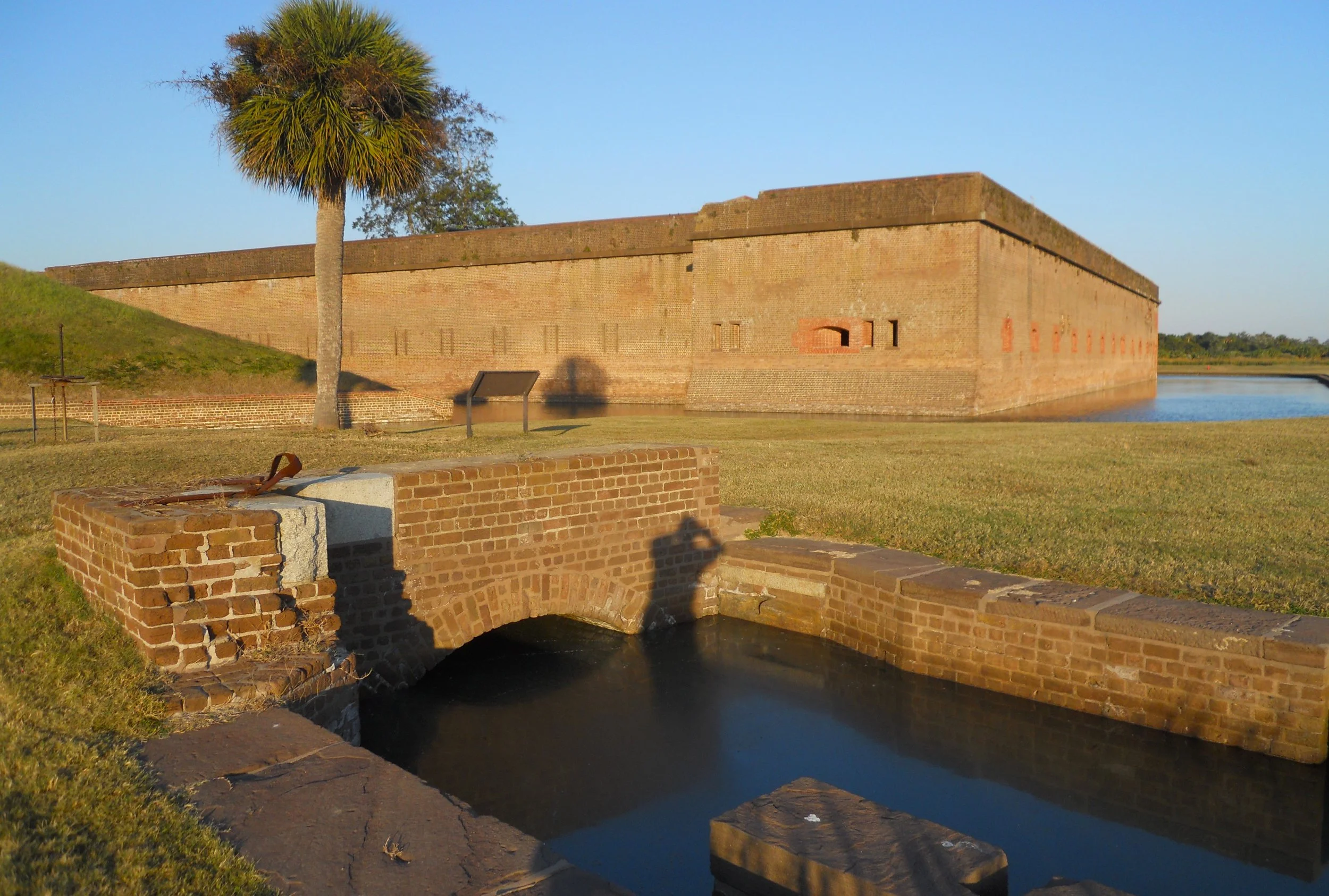
The moat which surrounded the fort used two tide gates to regulate the flow of water from the Savannah River.
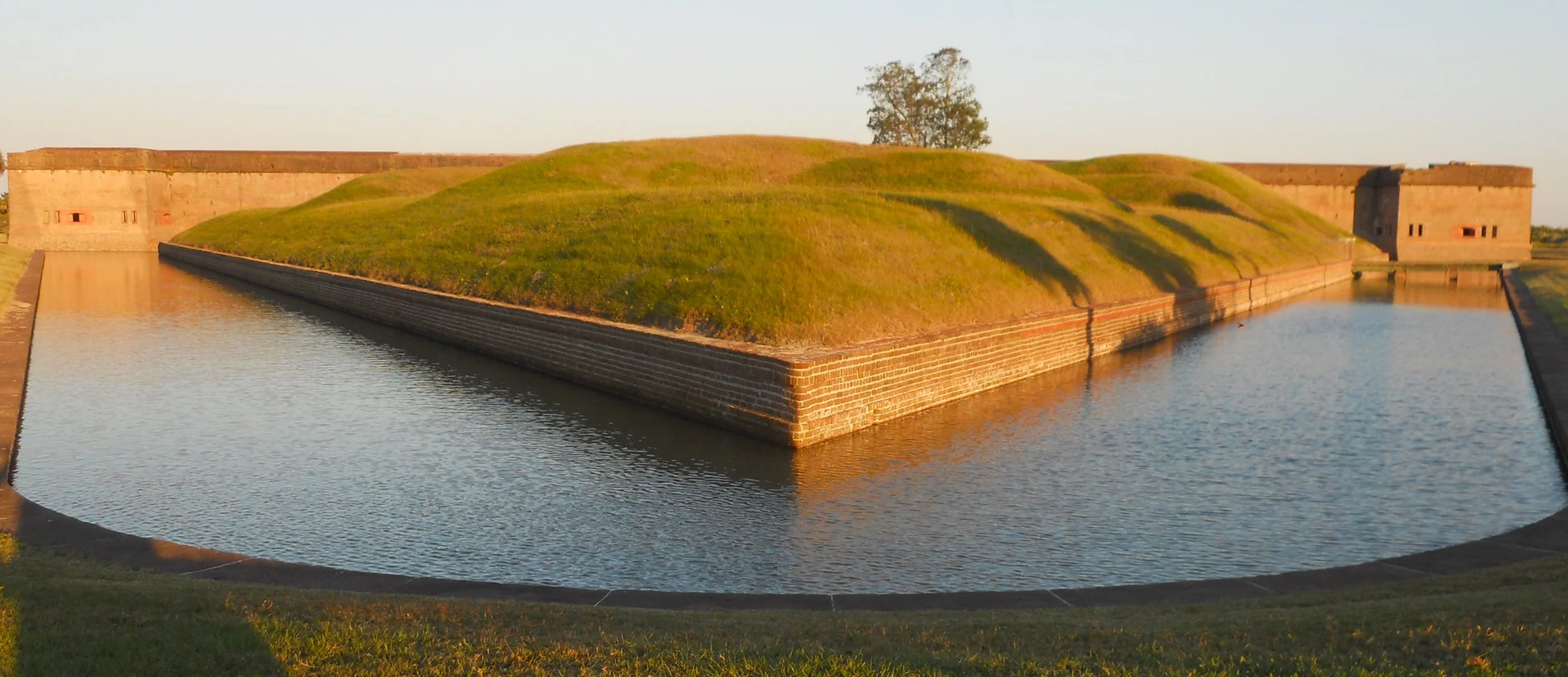
The Demilune was surrounded on all sides by the moat. The purpose of the demilune was to protect the entrance to the fort.
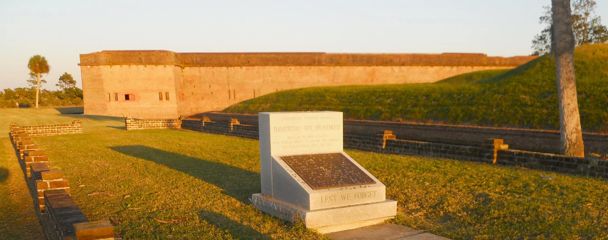
A burial area with thirteen of the “Immortal 600” is on one side of the fort. These were 600 Confederate officers who were POWs, transferred from confinement on Morris Island in Charleston Bay. That imprisonment had been in the “line of fire” as Confederate forces on Fort Sumter were firing on Fort Moultrie. Word had reached Union command that 600 Union officers were being held in Charleston, in the “line of fire” from Union guns. Yellow Fever hit the prison, forcing the Confederate prisoners to be relocated to Fort Pulaski. During their confinement at Fort Pulaski, thirteen soldiers died. These are the men buried in the small plot.
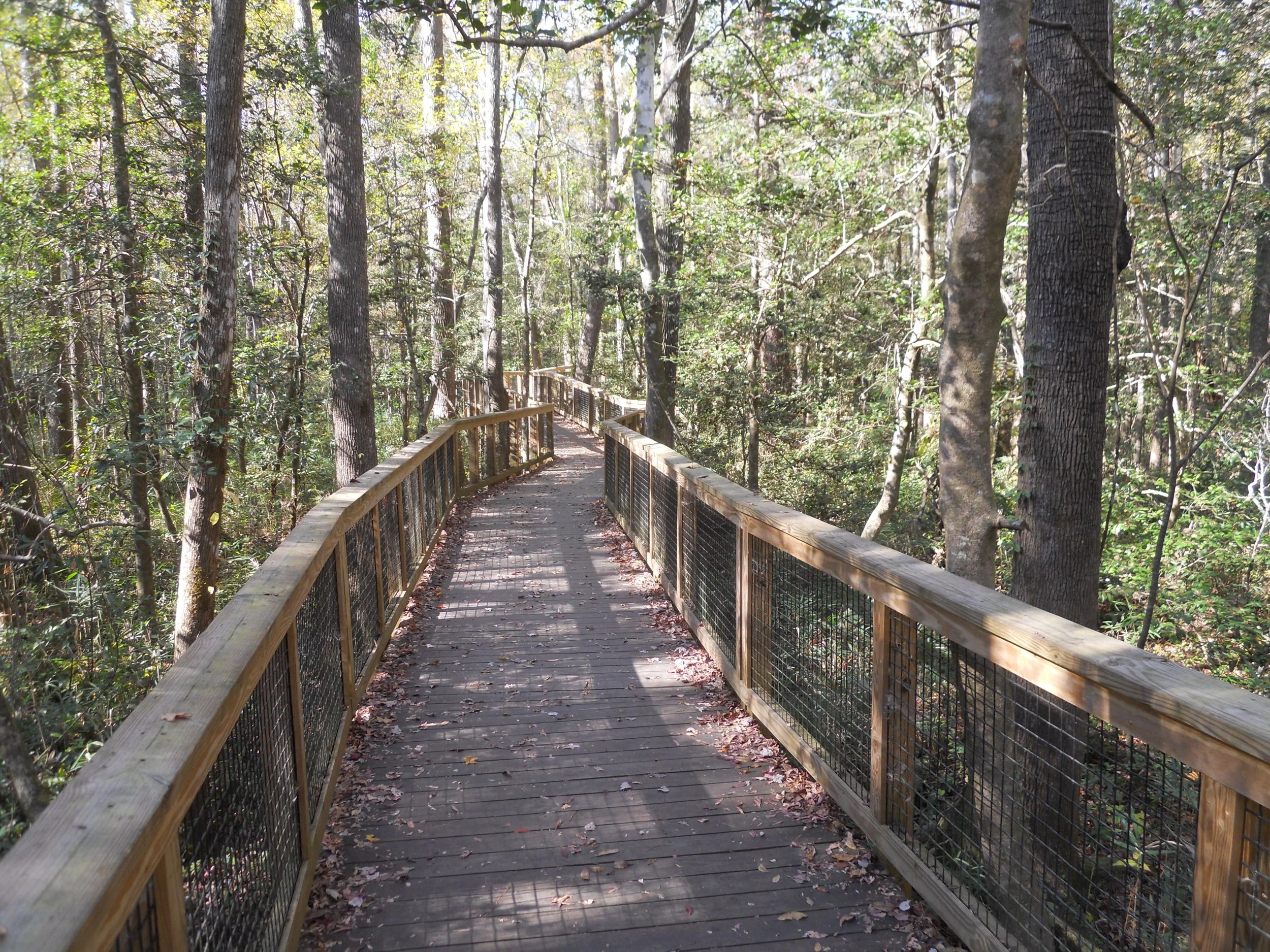
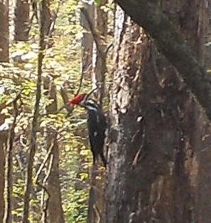
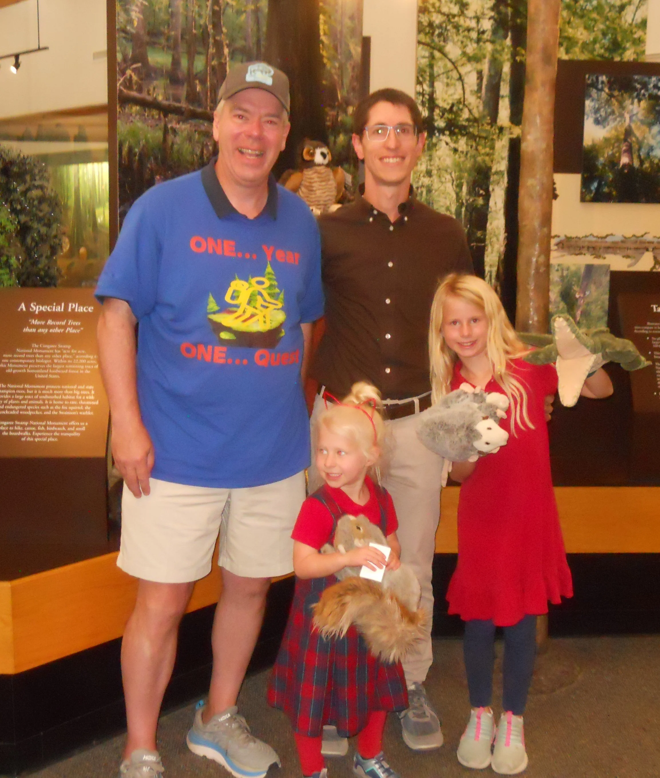
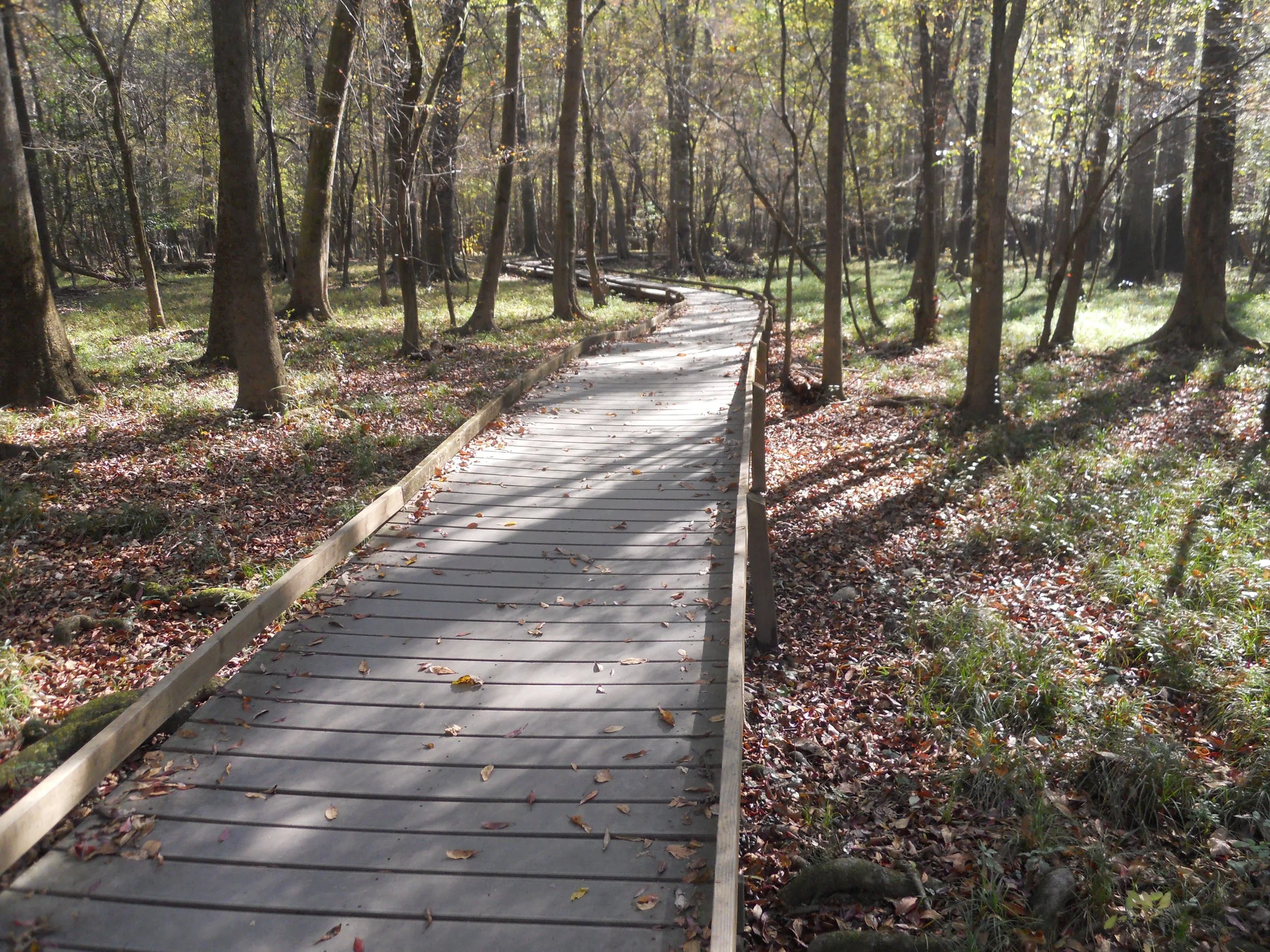
DAY 1 (November 7) - Congaree National Park is the “largest intact expanse of old growth bottomland hardwood forest remaining in the southeastern United States.” And this bottomland can get quite swampy, which is why a 2.6-mile long boardwalk allows visitors to stay dry as they loop through the area near the VC. A Pileated Woodpecker was tearing bark from a baldcypress tree at a furious pace.
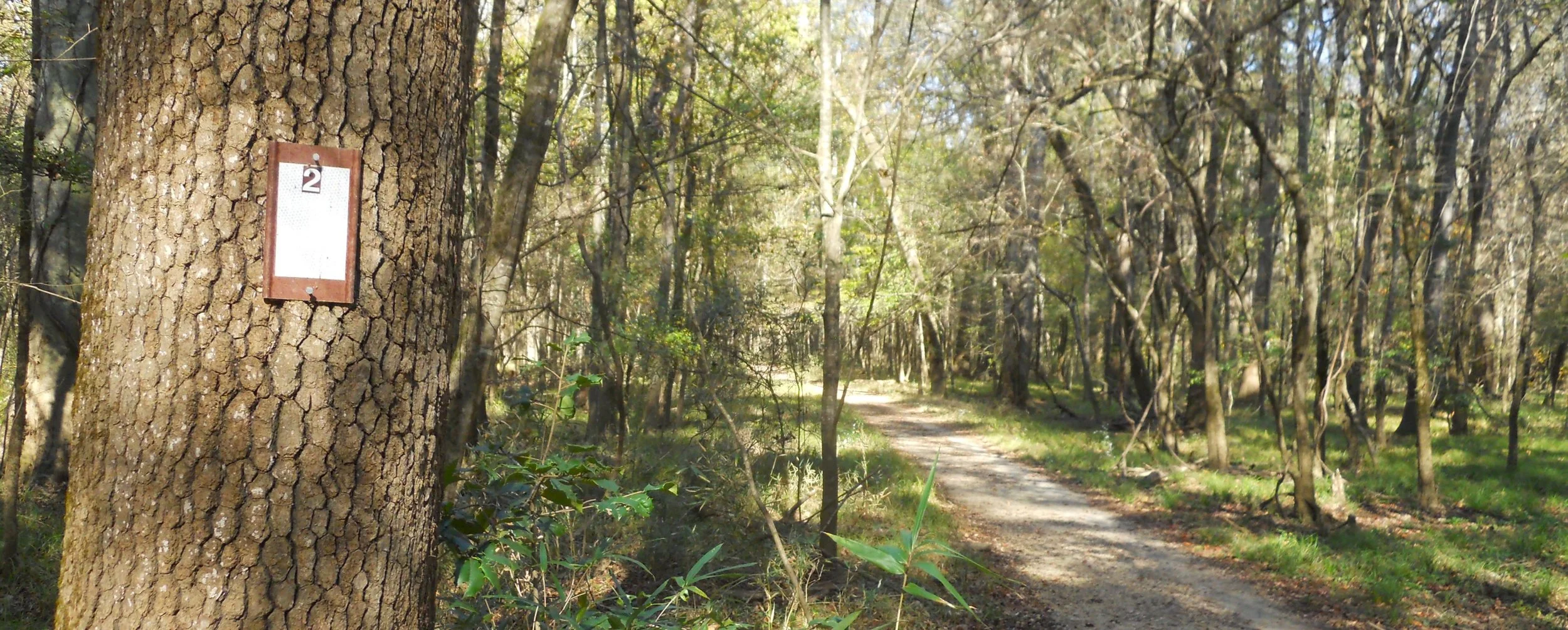
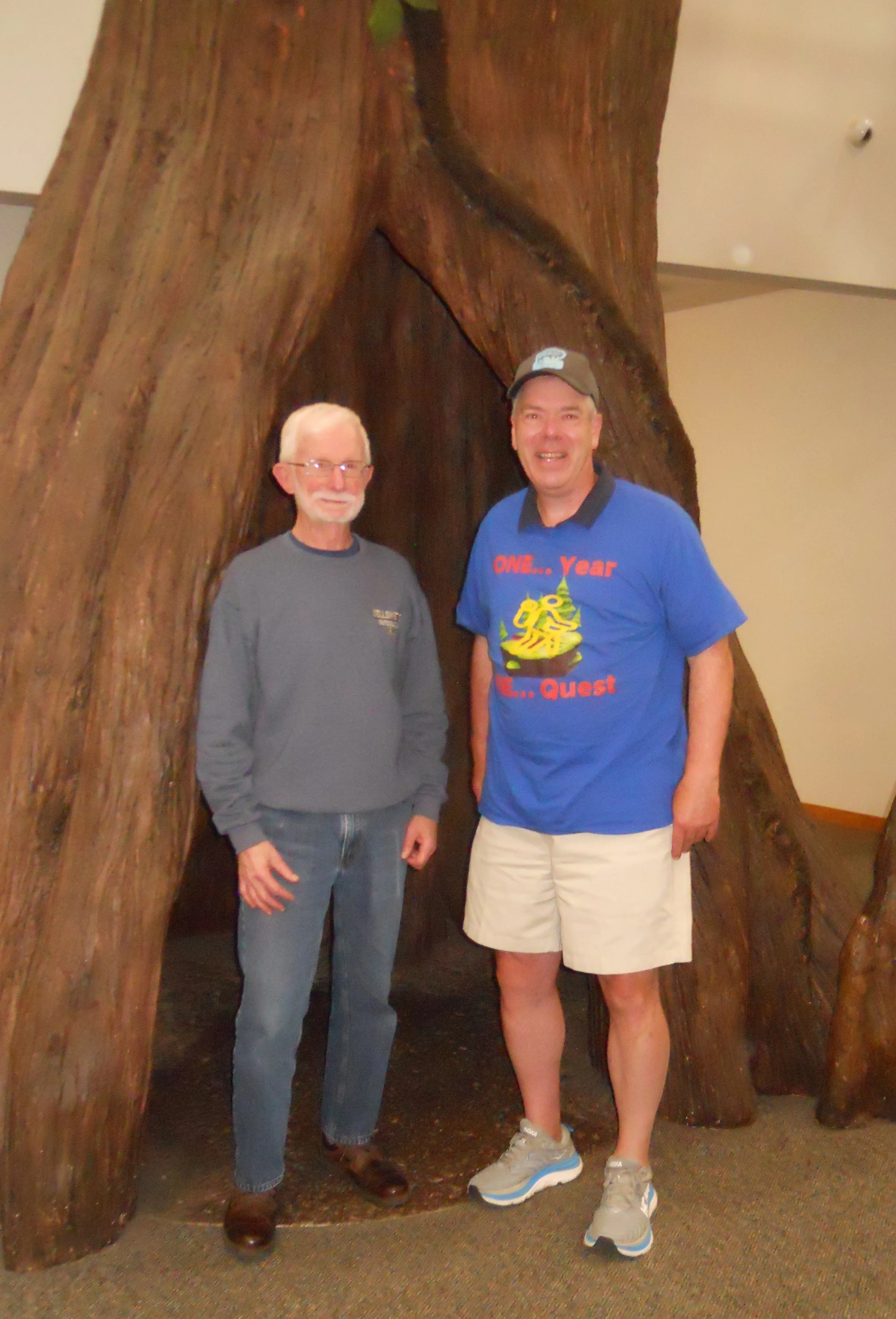
Peter (a fellow NPTC member, photo below) and I had the pleasure of meeting the Dennis family. There are now three Congaree Junior Rangers in their family, after they had completed the requirements, and a park ranger gave them the Jr. Ranger Oath. The girls had already obtained a Kings Mountain NMP Jr. Ranger badge and are looking forward to visiting more parks. The River Trail had white placards on a few trees with the #2. I forgot to ask what this means. After one mile you come to Cedar Creek. A few more miles and you reach the boundary of the park at Congaree River.
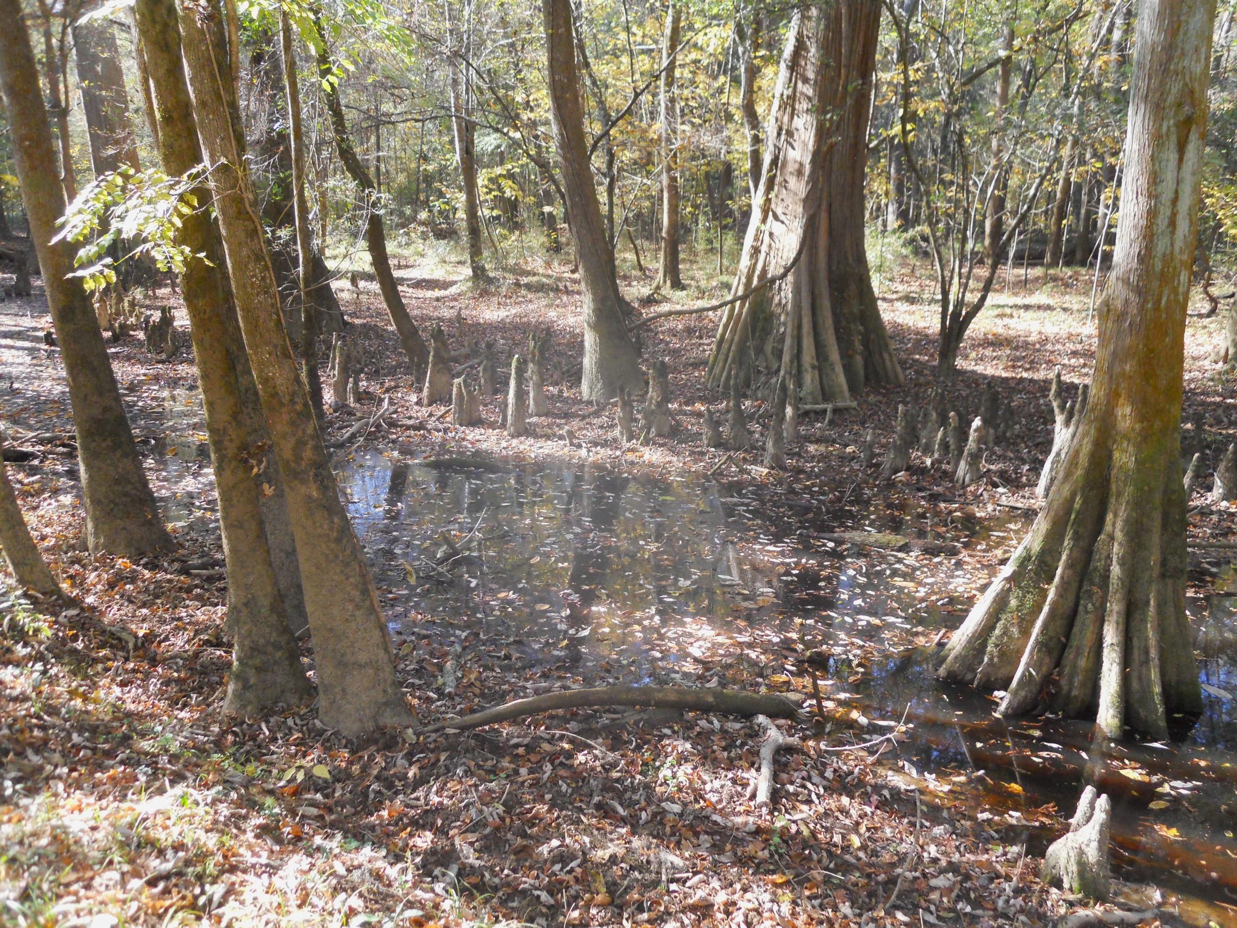
Plenty of baldcypress trees throughout the park, as well as the famous “cypress knees”, the small stumps coming up out of the water. It is not exactly known what the knees’ function is to the larger trees.
The last activity of the day was meeting Benjamin and his two daughters. Benjamin is also a NPTC member, residing in the Colombia area, so he came over to say “hi.”